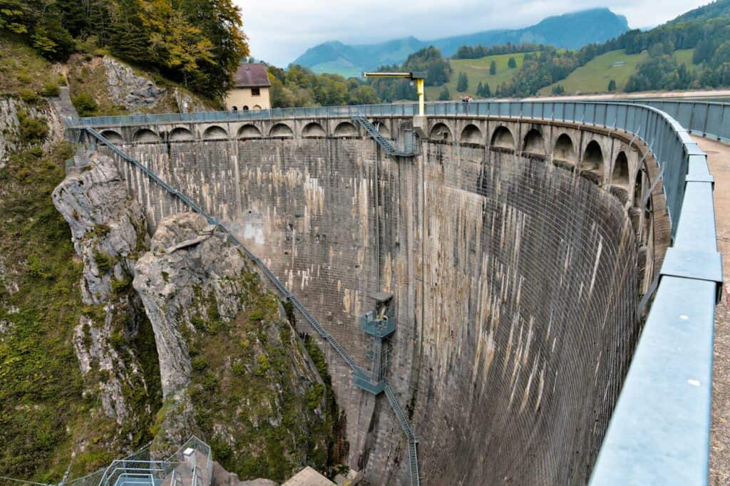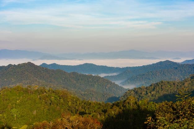
KaengKrachan National Park is the biggest national park in Thailand with the area of 2,915 squarekilometres or 1.8 million rai. It was certified as one of the national park on 12th June 1981 counting the territory from the reservoir and the forest over the dam as the national park’s area. This dam is the water source of many rivers. Most of the areas are alternating hills in the Tanaosri mountain range with the wet evergreen forest landscape. The highest mountain peak in this area is Kao Nga Ngan Nik Yuang Tong (1,513 metres) which is in joint area of Thailand and Myanmar. The second highest mountain peak is Kao Panern Toong with the height 1,207 meters from the mean sea level. From the ridge of the dam, there is a road to the office of Kaeng Krachan National Park. Kaeng Krachan was nominated the Natural Tourist Attraction Award in year 2008. Interesting places inside the national park are the lake, Kao Panern Toong, Panern Toong Camp, Baan Krang Camp, Pranburi waterfall, Mae Sa-iang waterfall, Hua Chang cave, Kao Pakarang cave, Kao Pakarang, Kaeng Krachan national park. The route to take to Kaeng Krachan National Park; If the travellers travel on their own car, use the number 35 highway to Amphur Pak Tor, Ratchaburi, then take the number 4 highway to the city of Petchaburi until you arrive at Ta Yang junction. Turn right to Amphur Ta Yang and go straight on highway number 3499 for around 30 kilometers, you will arrive at Amphur Kaeng Krachan. It takes around 4 kilometers from the entrance to the office of the national park. If the travellers decide to take the bus, take the Bangkok-Ta Yang bus. Get off at Ta Yang market then take the minibus to Kaeng Krachan market. After that, take the taxi or the motorcycle to the office. In addition, the travellers can also choose the Piya 666 van from Bangkok ( in front of Century, SoiRangnam, Victory Monument). The van will park at Kaeng Krachan District Police Station. Then, take the bus to the national park office. From Bang
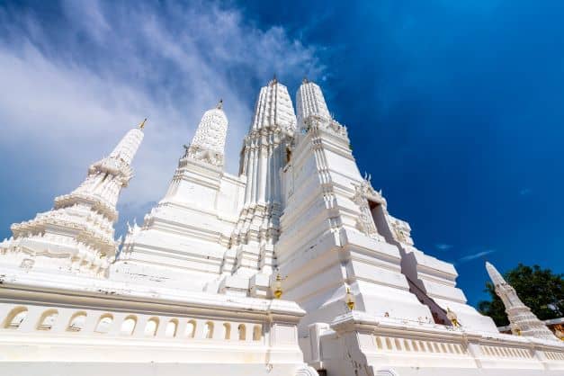
Location
Contact Information
Find a Place to Stay
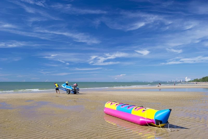
More Prachuap Khiri Khan Attractions