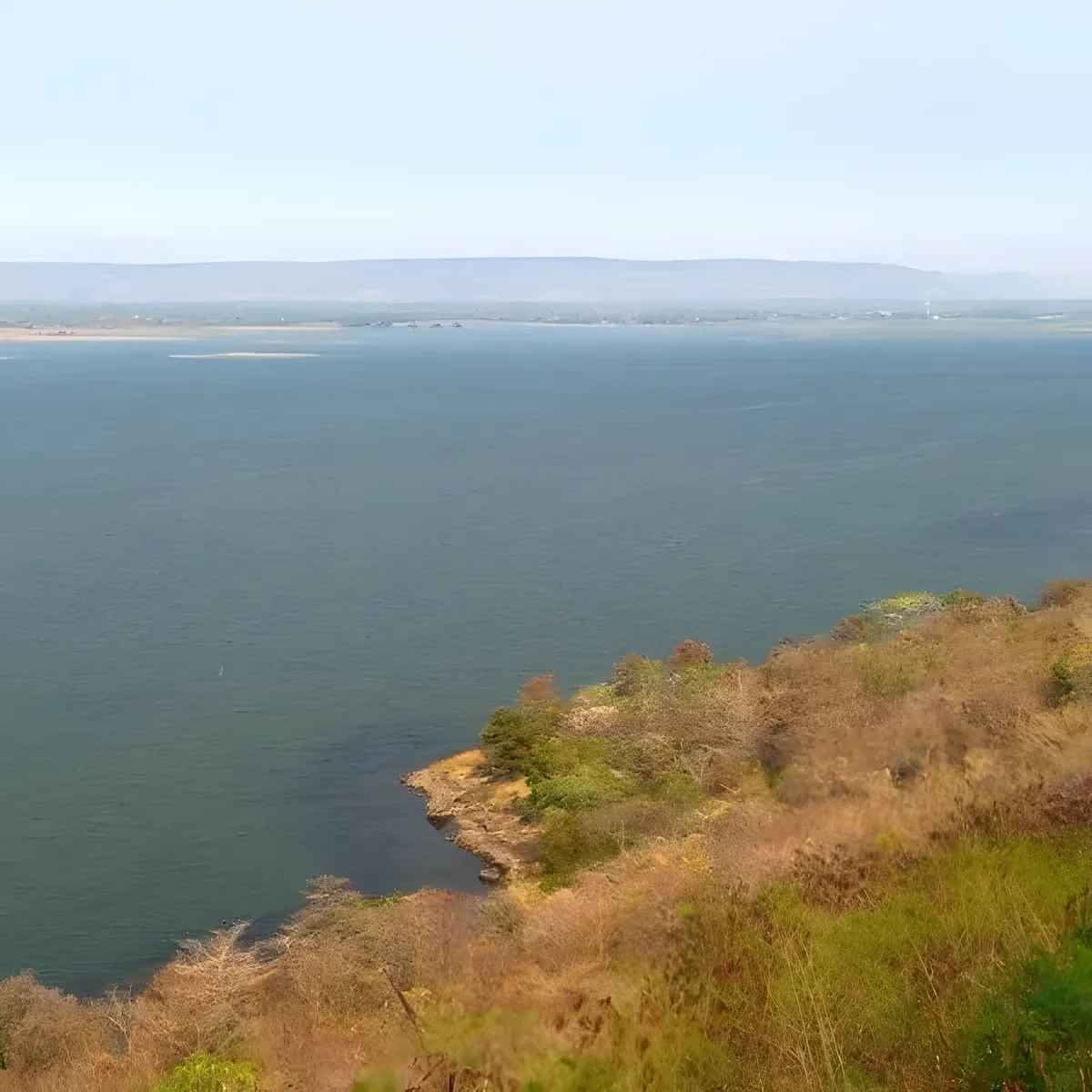
Hat Non Yao is a sandy freshwater shoreline on the Ubolratana Dam reservoir in Non Sang district, Nong Bua Lam Phu, not, as it’s sometimes described, a Mekong River beach. The dam backs up the Nam Phong River between Nong Bua Lam Phu and neighbouring Khon Kaen province, and this stretch of exposed lakebed sand is where locals go for a swim and a plate of grilled fish. Entry is free.
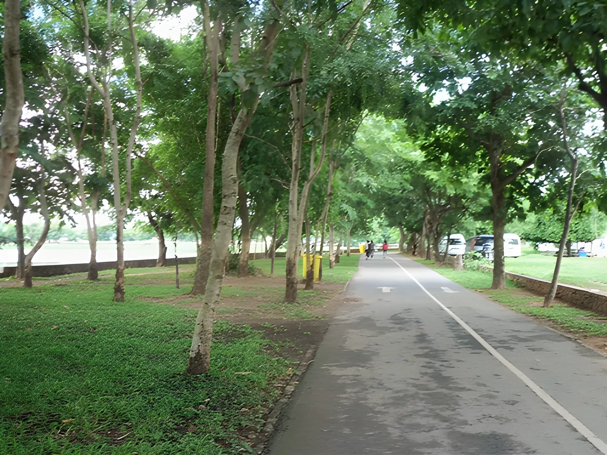
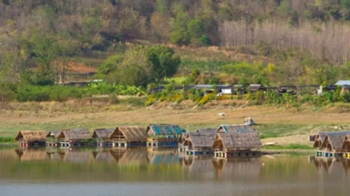
The sand here is pale and coarse rather than the fine white sand of the Gulf coast, and it’s only fully exposed when reservoir levels drop through the dry months. Families wade in the shallows near the food stalls, and a handful of vendors sell grilled fish, som tam, and cold drinks from simple bamboo shelters along the shore. Shade trees line the back of the beach, useful once the sun climbs past mid-morning. Longtail boats occasionally cross the reservoir in the distance, and on clear days you can see the low hills of Phu Khao–Phu Phan Kham National Park across the water, the same range the dam skirts on its way toward Khon Kaen.
Watch out: The lakebed drops away quickly close to where the original river channel ran, well before the visible waterline changes. Keep children in the shallow, roped-off sections near the stalls rather than swimming out toward open water.
Weekends bring Isan families out for picnics rather than foreign tourists. This is a local recreation spot first, an attraction second. There’s no resort infrastructure: no sunbeds, no bars, no souvenir stands. What you get instead is a quiet stretch of reservoir shoreline, birdsong from the treeline, and the unhurried pace of a small-town dam beach that most guidebooks skip entirely.
Insider Tip: Reservoir levels (and the size of the exposed sand) are highest from the end of the rainy season through December. Visit then for the widest beach and the most stable, current-free swimming water.
Cool season (November–February) is the best window: comfortable air temperatures and dependable water levels. By April and May the reservoir can recede noticeably as water is released for irrigation downstream, shrinking the swimmable area. Bring your own drinking water, sun protection, and reef shoes if you plan to wade. The lakebed has rocky patches near the shore.
Hat Non Yao sits roughly 50 km from Nong Bua Lam Phu town. Take Highway 2146 toward Non Sang, then follow the signed local road to the dam shore. There’s no direct public transport; a car, motorbike, or arranged taxi is the only realistic way in. Pair the visit with Phu Khao–Phu Phan Kham National Park or Huai Pha Wang Reservoir, both a short drive away in the same district, for a fuller day around Nong Bua Lam Phu’s lakes and hills.
- Entry fee: Free
- Water body: Ubolratana Dam reservoir (Nam Phong River), not the Mekong
- Getting there: ~50 km from Nong Bua Lam Phu town via Highway 2146
- Best season: November–February (cool season, stable water levels)
- Facilities: Basic food stalls; no lifeguards, no rental gear
Location & Directions
Non Sang, Nong Bua Lam Phu
Nong Bua Lam Phu, Thailand
Show your taxi or Grab driver
หาดโนนยาว
Frequently Asked Questions
Is Hat Non Yao a real river beach?
Is there an entry fee?
When is the best time to visit?
How do you get to Hat Non Yao from Nong Bua Lam Phu town?
Can you swim at Hat Non Yao?
Spotted something out of date or incorrect? Let us know
Stay Near Hat Non Yao
Live prices for places closest to Hat Non Yao: tap a pin to compare.