Khao Pu-Khao Ya National Park
อุทยานแห่งชาติเขาปู่-เขาย่า
Khao Pu-Khao Ya National Park protects roughly 701 square kilometres of the Nakhon Si Thammarat mountain range, spread across three southern provinces — Phatthalung, Nakhon Si Thammarat, and Trang. It was declared a national park in 1982, and its highest point, Khao Hin Taan, rises to 877 metres. Despite what some listings claim, this isn’t a coastal mangrove park: roughly 60% of it is moist evergreen forest, with pockets of drier deciduous woodland lower down the slopes. The Phatthalung entrance sits at Khao Pu subdistrict in Si Banphot district, the access point most visitors use.
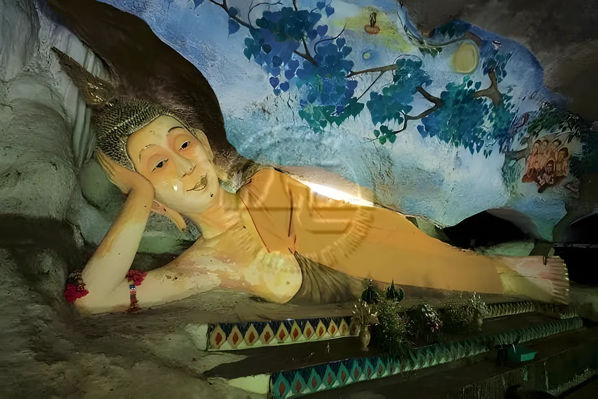
Trails wind through the forest past limestone outcrops and cave systems, with the park’s named waterfall, Nan Sawan, as one of the main hiking targets. Wildlife records for the park run to around 162 species, including dusky langurs, wild boar, and a range of forest birds — sightings are opportunistic rather than guaranteed, and early morning gives the best odds. The limestone terrain throws up steep, uneven sections in places, so trail choice matters more here than at flatter parks.
Quiet is the park’s main draw. Visitor numbers stay low compared to Thailand’s headline parks, and the forest canopy keeps most trails shaded even at midday. Morning mist settles over the ridgelines in the cooler months, usually burning off by mid-morning.
Watch out: Trail markings can be inconsistent away from the main paths near the entrance. Check with park staff about which routes are currently maintained and open before heading further in — conditions change with the season and after heavy rain.
November to February brings the driest, most comfortable hiking weather; from March the heat builds and shade becomes more valuable than ever on exposed limestone stretches. The park is best reached with your own transport — there’s no scheduled public transit to the entrance. Bring water, insect repellent, and shoes with real grip for the limestone trail sections.
Insider Tip: Arrive at opening (08:30) if you want to catch wildlife activity — by mid-morning the heat pushes most animals deeper into cover, and the trails get warmer fast once the sun clears the canopy.
- Entry fee: 100 THB adult / 50 THB child (foreigners); 20 THB adult / 10 THB child (Thai nationals)
- Hours: Daily, roughly 08:30-16:30
- Area: ~701 sq km across Phatthalung, Nakhon Si Thammarat, and Trang
- Highest point: Khao Hin Taan, 877 m
- Terrain: Moist evergreen forest with limestone caves and Nan Sawan waterfall — no mangrove
Thale Noi, Phatthalung’s Ramsar-listed waterbird wetland, and Tham Sumano, a limestone cave elsewhere in the province, make reasonable pairings if you’re building out a day of Phatthalung’s natural sites around a visit to Phatthalung town.
Location & Directions
60 Mu 9
Phatthalung, Thailand
Show your taxi or Grab driver
อุทยานแห่งชาติเขาปู่-เขาย่า
Frequently Asked Questions
How much does it cost to enter Khao Pu-Khao Ya National Park?
Is Khao Pu-Khao Ya a mangrove park?
Which provinces does the park cover?
What's the highest point in the park?
Are there waterfalls or caves to see?
Spotted something out of date or incorrect? Let us know
Stay Near Khao Pu-Khao Ya National Park
Live prices for places closest to Khao Pu-Khao Ya National Park — tap a pin to compare.