Lam Nam Kra Buri National Park
อุทยานแห่งชาติลำน้ำกระบุรี
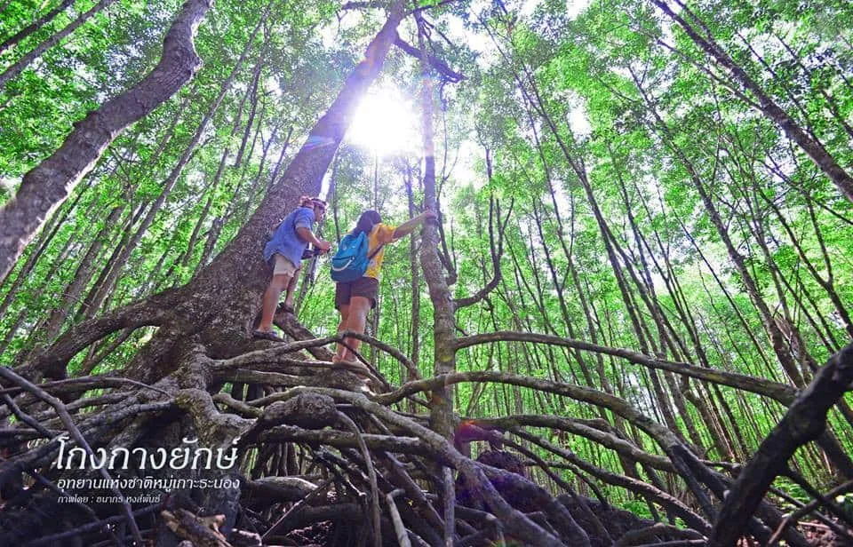
Lam Nam Kra Buri National Park covers the stretch of the Kra Buri River where it forms the natural border between Ranong province and Myanmar, about 18 km north of Ranong town off Highway 4. The park protects moist evergreen forest across parts of Mueang Ranong, Kra Buri, and La-un districts and was declared a national park on 21 April 1999.
The river cruise is the reason most people come. Longtail boats depart near the park headquarters and run past six mangrove-covered islands sitting in the middle of the Kra Buri channel — Ko Siat, Ko Khwang, Ko Yao, Ko Chon, Ko Pling, and Ko Nok Plao — with Myanmar visible on the opposite bank the entire way. Two of those islands, Ko Yao and Ko Khwang, hold tunnels bored by the Japanese army during World War II to store armaments and shelter troops; small niches for oil lamps and sleeping spaces are still visible along the tunnel walls. Visiting the tunnels requires a park ranger, partly for orientation and partly because high tide can flood the entrance.
On land, the Khao Hin Chang viewpoint sits about 5 km from the headquarters, reachable on foot or by car, and looks out over the river, the mangrove islands, and Myanmar’s coastline beyond. It’s a straightforward walk rather than a technical hike, and worth timing for late afternoon light over the water.
Insider Tip: Book the river cruise through the park headquarters rather than a private operator in town — rangers know the tide schedule for the bunker tunnels and can build the stop into the same trip instead of you arranging a second boat.
- Entry: 100 THB (foreigners), 20 THB (Thai nationals)
- Hours: Daily 08:30-16:30
- Getting there: Highway 4, turn off at Km. 595, about 1 km to the headquarters — 18 km from Ranong town
- Main activity: Longtail boat cruise past six mangrove islands and WWII bunker tunnels (Ko Yao, Ko Khwang)
- Facilities: Camping ground, welfare shop, and basic accommodation near the headquarters
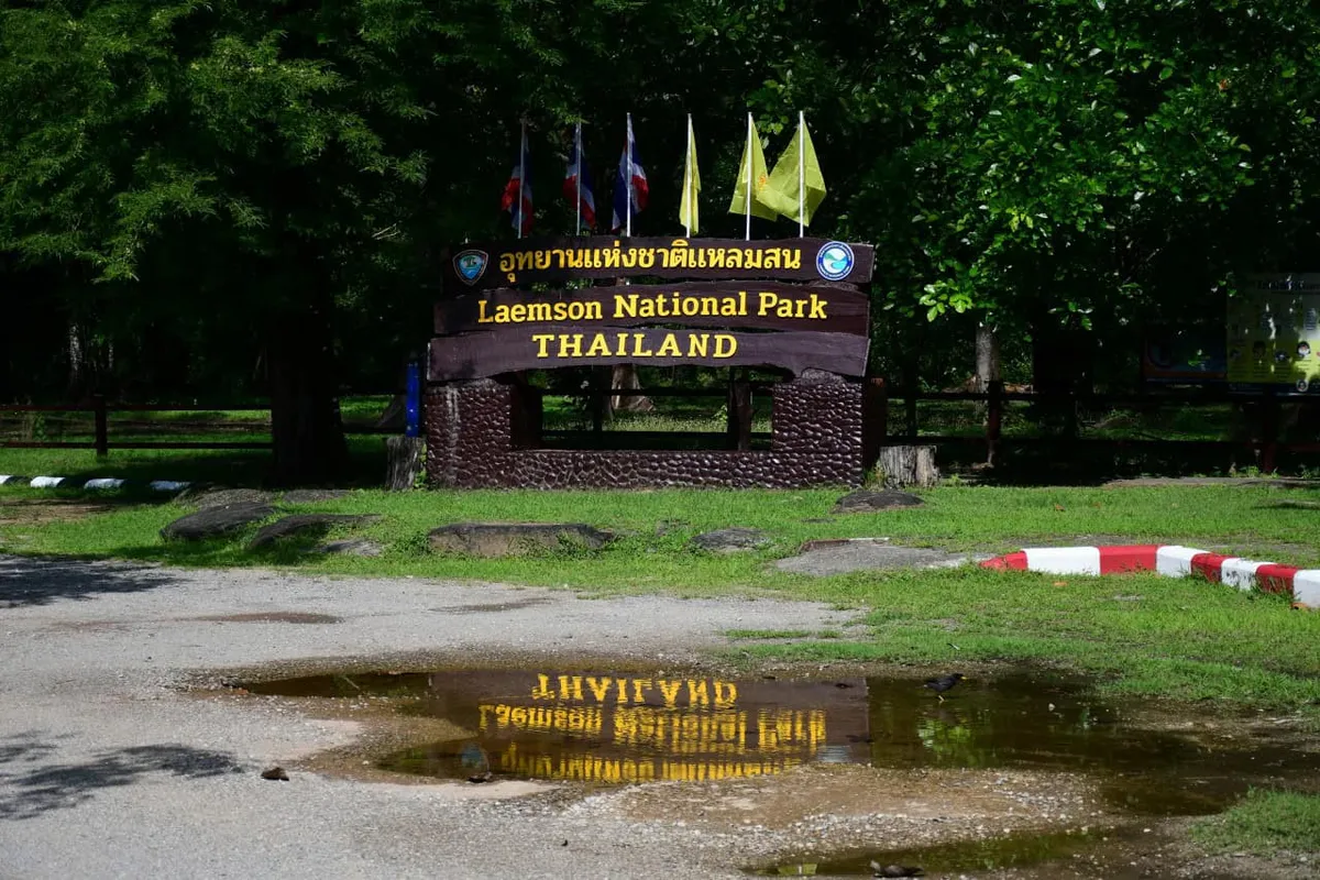
The park’s mangrove-and-border setting is distinct from Bok Krai Waterfall — a separate Ranong attraction that sits in Thung Raya-Na Sak Wildlife Sanctuary rather than inside this park, despite the two sometimes being confused. For more of Ranong’s protected coastline, Laem Son National Park covers the province’s Andaman-facing beaches and islands further south.
Location & Directions
130/1 Moo 3 St.
Ranong, Thailand
Show your taxi or Grab driver
อุทยานแห่งชาติลำน้ำกระบุรี
Frequently Asked Questions
Is Lam Nam Kra Buri National Park free to enter?
What's the main thing to do here?
Are the WWII bunker tunnels open to visitors?
Is Bok Krai Waterfall inside this park?
How do I get to the park from Ranong town?
Spotted something out of date or incorrect? Let us know
Stay Near Lam Nam Kra Buri National Park
Live prices for places closest to Lam Nam Kra Buri National Park — tap a pin to compare.