Phu Hin Rong Kla National Park
อุทยานแห่งชาติภูหินร่องกล้า
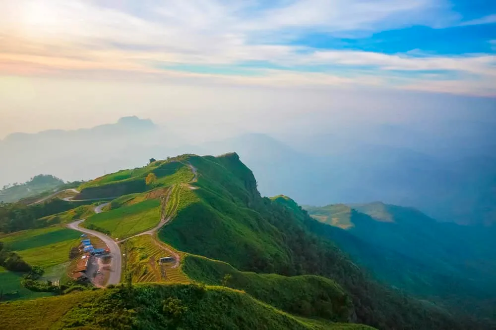
A former Communist Party of Thailand stronghold turned national park, Phu Hin Rong Kla spreads across 307 km² of cool, mist-fed highland where Phitsanulok, Loei, and Phetchabun provinces meet. Elevations climb to 1,820 metres at Phu Man Khao, keeping daytime temperatures under 25°C year-round — a rare break from lowland Thai heat, and the reason this was chosen as an insurgent base in the first place: hard to reach, easy to defend.
Between 1968 and 1982, the CPT used these ridgelines as its main stronghold, training camps and hiding fighters in the forest after the 1976 Thammasat University massacre pushed hundreds of students into the movement. China’s withdrawal of material support after normalising relations with Bangkok in the late 1970s weakened the party badly, and Prime Minister Prem Tinsulanonda’s 1980 amnesty order, Order 66/2523, gave defectors a route home without prosecution. Combined with the Thai army’s slow retaking of the high ground and eroding local support among Hmong villagers who had once sheltered the insurgents, the fighting was over by 1982. The park was gazetted two years later, Thailand’s 48th. What’s left of that era is now the park’s most distinctive draw: the former CPT headquarters, a school building, an old rice mill, and rock shelters the insurgents carved into cliff faces, alongside a small Thailand-Communism museum with recovered weapons, radios, and photographs.
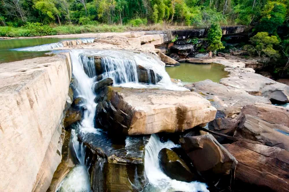
The natural landmarks carry their own history. Lan Hin Pum, a sloping plateau of nodulated sandstone, looks almost lunar and served as a lookout point during the conflict. Pha Chu Thong (Flag Pole Cliff) is where the CPT raised its red flag after early skirmishes — today it’s the park’s best sunset spot, with sightlines across three provinces. Lan Hin Taek, a shattered stone slab about 400 metres from the visitor centre, is now overgrown with orchids, ferns, and seasonal wildflowers. For water, Namtok Man Daeng drops in 32 tiers and runs year-round. Around 260 bird species have been recorded in the park, including hornbills, and the forest still holds barking deer and the occasional leopard cat, though decades of settlement have thinned the larger mammal population.
Insider Tip: Walk Lan Hin Pum and Pha Chu Thong at first light — the CPT history sites and viewpoints are spread out enough that doing them after 10am, once tour groups arrive from Phitsanulok, means queuing for photos at the cliff edge.
Watch out: There’s no public transport into the park — you need your own vehicle, and the roads between sites are steep enough that a scooter isn’t ideal. Fuel up in Nakhon Thai before heading in; there’s nowhere to refill once you’re past the checkpoint.
Cool season (November-February) gives the clearest mountain views and the most comfortable hiking, though nights can drop close to freezing — pack real layers if you’re camping. Bungalows run 800-6,000 THB a night, camping is 30 THB per person (bring or rent a tent), and two simple restaurants near the visitor centre serve food roughly 7am-8pm.
- Entry fee: 200 THB (foreign adult), 100 THB (foreign child); 40/20 THB (Thai adult/child); 30 THB per vehicle
- Hours: Visitor centre daily 08:00-16:30
- CPT stronghold: 1968-1982; national park designated 1984
- Highest point: Phu Man Khao, 1,820 m
- Best season: November-February for cool, clear conditions
Location & Directions
125 Mu 10, Noen Perm Subdistrict, Nakhon Thai District, Phitsanulok Province 65120
Phitsanulok, Thailand
Show your taxi or Grab driver
อุทยานแห่งชาติภูหินร่องกล้า
Within Walking Distance

Frequently Asked Questions
What happened at Phu Hin Rong Kla during the communist insurgency?
What is Pha Chu Thong?
How cold does it get at Phu Hin Rong Kla?
Can I get to the park without my own vehicle?
What's the entry fee?
Spotted something out of date or incorrect? Let us know
Stay Near Phu Hin Rong Kla National Park
Compare places to stay in Phitsanulok, or open the map for options closest to the attraction.