The Narrowest Area Of Thailand
ส่วนที่แคบที่สุดในประเทศไทย
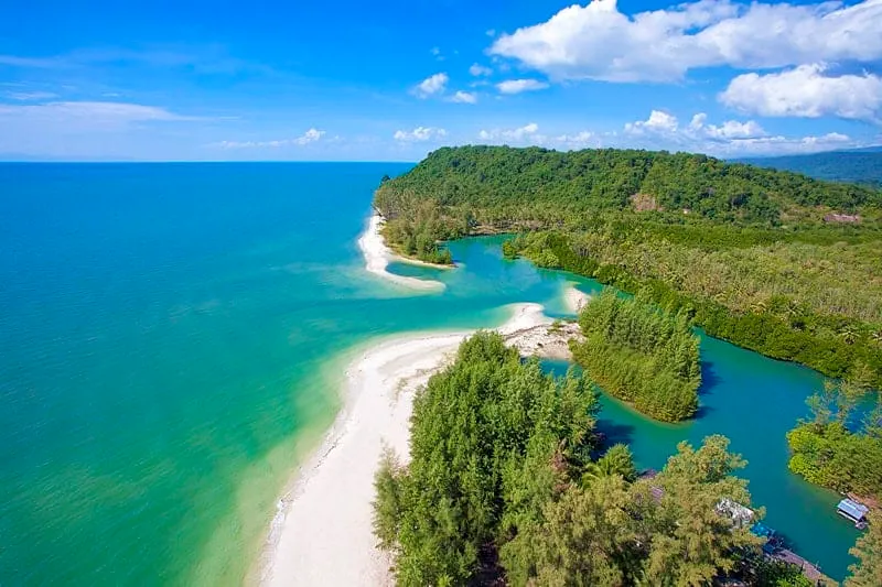
At kilometre markers 81-82 on the Trat-Khlong Yai road, the Thai mainland pinches down to just 450 metres — the shortest distance between the Gulf of Thailand coastline and the Banthat mountain range that marks the border with Cambodia. It’s a genuinely different claim from the better-known Kra Isthmus marker in Ranong, which measures the peninsula’s width between two seas; this spot measures the gap between sea and mountain wall, and by that measure it’s narrower than anywhere else in the country.
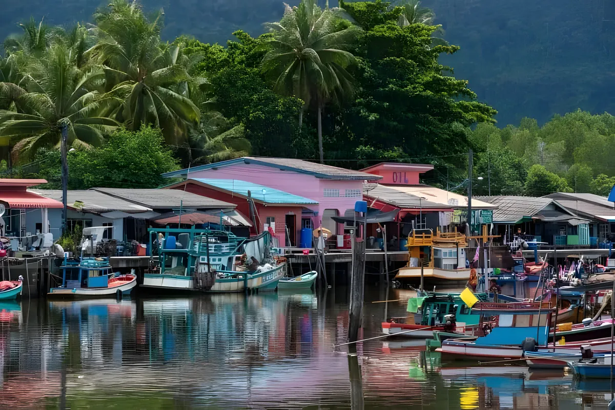
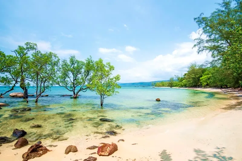
There’s a roadside pull-off with a sign marking the site, near Ban Khot Sai village in Hat Lek subdistrict. On one side, the land drops to the Gulf; on the other, forested hills rise sharply toward Cambodia. Fishing boats from the nearby village of Ban Khlong Makham work these waters, and rubber and fruit plantations fill the flat stretch of land in between — visible proof of how little room there is between the coast and the hills. The Hat Lek border crossing, Thailand’s main land gateway into Cambodia’s Koh Kong province, is a short drive further south.
Sunset is the reason most visitors time their stop for late afternoon — the light over the Gulf draws people down to Ban Khlong Makham’s fishing pier as boats return for the evening, and the narrow strip of land makes both the sea and the hills visible from close together. There’s little to see or do at the marker itself beyond the view and a photo; this is a five-minute stop on the way to or from the border, not a half-day destination.
Insider Tip: Combine the stop with Ban Khlong Makham fishing village, a couple of kilometres away — the pier there is the better sunset spot, with fresh seafood stalls nearby.
Watch out: Don’t confuse this with the Kra Isthmus marker near Kra Buri in Ranong, over 500 km northwest. Both get called “Thailand’s narrowest point” online, but they measure different things and sit in different provinces.
Reaching it requires your own transport — a car, motorbike, or hired driver from Trat town, about an hour and a half away on Route 3. There’s no public transport running directly past the marker, and phone signal can be patchy this close to the border.
- Width at this point: About 450 metres, Gulf coast to the Cambodian border hills
- Location: Trat-Khlong Yai road, km 81-82, Ban Khot Sai, Hat Lek subdistrict, Khlong Yai district
- Entry fee: Free
- Getting there: Own transport from Trat town, roughly 1.5 hours
- Time needed: A few minutes as a roadside stop
The marker sits within Trat province, close to the border crossing at Ban Hat Lek Border Market and the community-run Ban Thammachat Lang tourism venture in the same subdistrict.
Location & Directions
Ban Khot Sai, Mu 2, Trat-Khlong Yai Road (km 81-82)
Trat, Thailand
Show your taxi or Grab driver
ส่วนที่แคบที่สุดในประเทศไทย
Frequently Asked Questions
Is this the same as the Kra Isthmus?
How wide is Thailand at this point?
Where exactly is it?
Is there an entry fee?
What else is there to do nearby?
Spotted something out of date or incorrect? Let us know
Popular tours in Trat

Stay Near The Narrowest Area Of Thailand
Compare places to stay in Trat, or open the map for options closest to the attraction.