Wat Pho Sila
วัดโพธิ์ศิลา
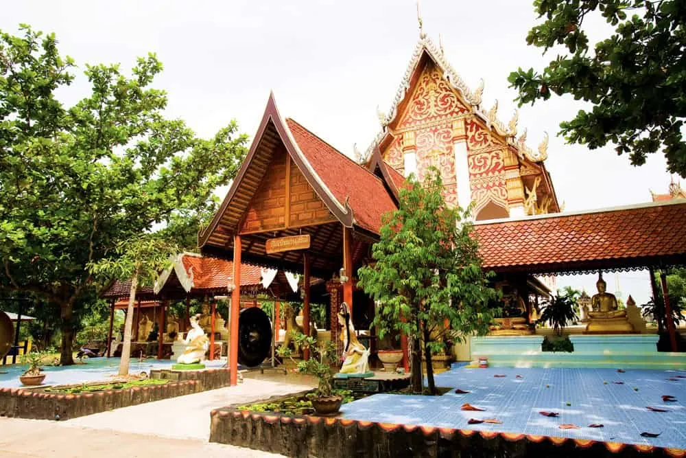
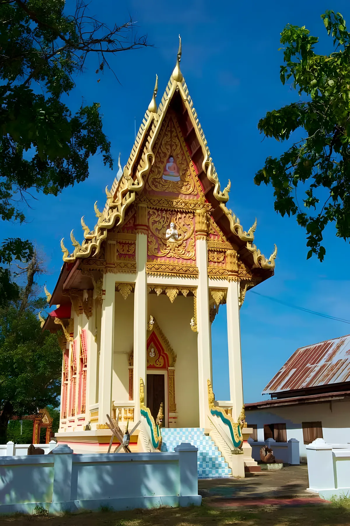
Wat Pho Sila’s name is a straightforward description, not a metaphor: “pho” for the Bodhi trees growing across the grounds, “sila” for the ancient stone sema — boundary markers — set around its ordination hall. The village temple was established in 1857 in Ban Pueai, Lue Amnat district, roughly 20 km south of Amnat Charoen town. It isn’t a rock-cut temple built into boulders; it’s a modest, working monastery whose real draw is what’s standing in its compound.
That draw is a set of sixteen sandstone sema stones, large slabs originally used to mark the consecrated boundary of an ordination hall, most carved with an inverted-lotus-petal motif at the base. They date to the Dvaravati period — over a thousand years old, among the older archaeological finds in this part of Isan. Only two of the sixteen survive in reasonably intact condition; the rest are cracked, chipped or broken, which is typical for sema of this age exposed to a millennium of weather and use. The Fine Arts Department registered the group as a national ancient monument in December 2002, which is what keeps them protected rather than repurposed or removed.
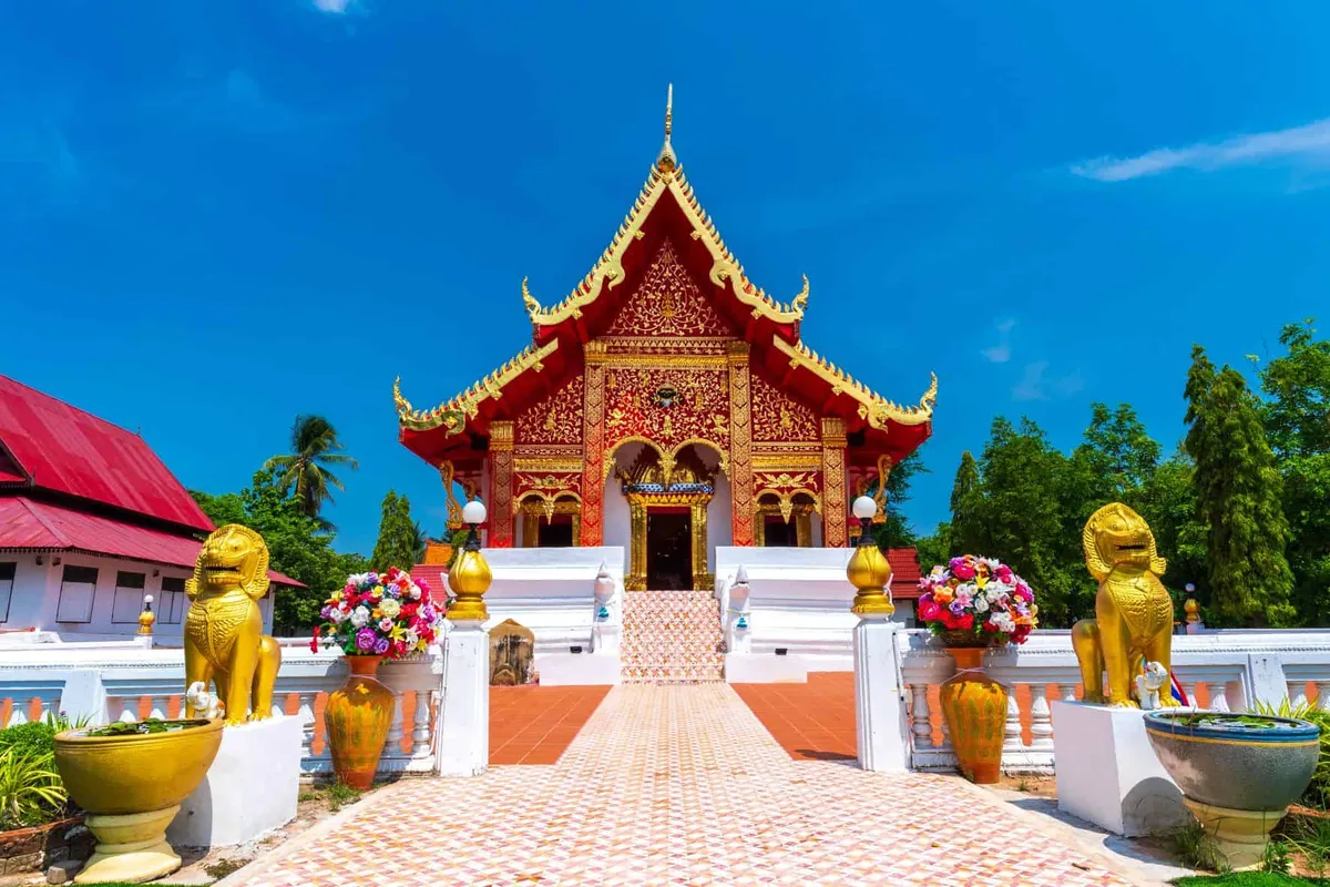
Seeing them doesn’t require much of a detour from ordinary temple life — the sema sit in the open, near the current ordination hall, so you’re looking at genuinely ancient stonework a few steps from an active Buddhist community going about its normal routine. It’s a useful stop if you’re interested in Dvaravati-era craftsmanship without the crowds of the region’s better-known ruins.
Insider Tip: Pair this with Wat Tham Saeng Phet, Amnat Charoen’s actual cave temple — if you came to Wat Pho Sila expecting a rock-cut sanctuary, that’s the attraction that delivers it.
Dress modestly, cover shoulders and knees, and remove your shoes before entering the ordination hall. There’s no admission fee, and morning visits avoid the worst of the afternoon heat.
- Entry fee: Free
- Established: 1857
- Highlight: 16 Dvaravati-era sandstone sema stones (boundary markers), over 1,000 years old, registered as a national ancient monument in 2002
- Distance from Amnat Charoen town: About 20 km south
- Note: Not a rock-cut/cave temple — the name refers to the ancient stone markers, not the architecture
Location & Directions
Ban Pueai, Pueai Subdistrict, Lue Amnat, Amnat Charoen
Amnat Charoen, Thailand
Show your taxi or Grab driver
วัดโพธิ์ศิลา
Frequently Asked Questions
Why is it called Wat Pho Sila?
What are the sema stones people come to see?
Is Wat Pho Sila a rock-cut temple?
How far is it from Amnat Charoen town?
Is there an entry fee?
Spotted something out of date or incorrect? Let us know
Stay Near Wat Pho Sila
Live prices for places closest to Wat Pho Sila — tap a pin to compare.