Ban Song Khon, Sam Phan Bok
แก่งสองคอน สามพันโบก
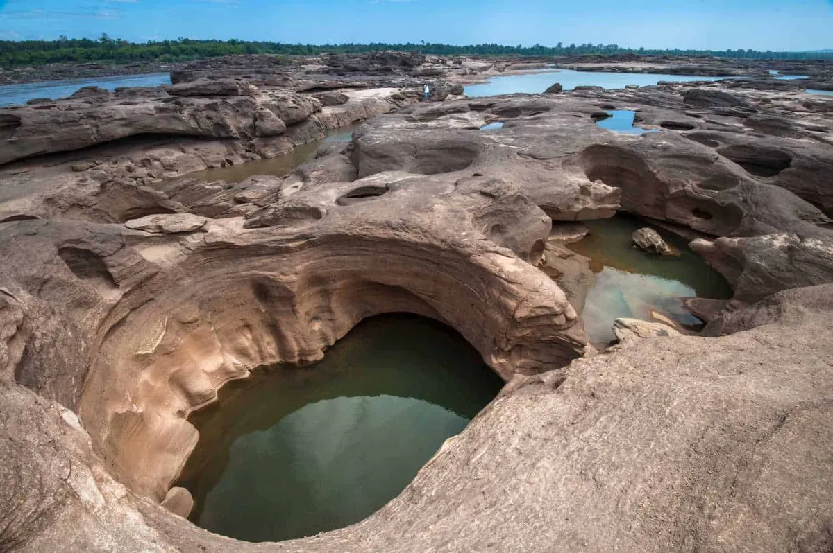
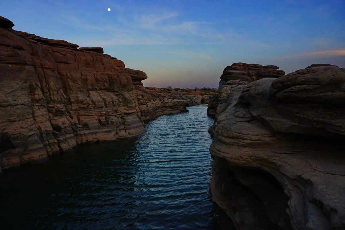
Ban Song Khon sits on the same stretch of eroded Mekong sandstone that makes Sam Phan Bok famous, but it’s a separate, quieter access point about 3km north of the main viewing area at Ban Pong Pao. The riverbed here carries the same water-carved potholes and channels (some shallow, some deep enough to hold pools year-round) cut into reddish sandstone by the river’s current each dry season, when levels drop enough to expose it.
Because it’s named for and reached through Song Khon village rather than the better-known Ban Pong Pao side, Ban Song Khon sees a fraction of the visitor traffic that the main Kaeng Sam Phan Bok viewpoint gets. There’s no boat pier or organised tour infrastructure here. You walk the exposed rock directly, picking a route between the potholes at your own pace. The trade-off is fewer amenities: bring your own water and food, since there’s little in the way of vendors compared to the main site.
The village of Song Khon gives the formation its name, and the Mekong here marks the border with Laos, close enough that the far bank is clearly visible across the water. Riverside villages along this stretch still fish the Mekong the traditional way, and it’s common to see cast nets and small wooden boats working the shallows early in the morning, when the light is best for photographs and the heat hasn’t built up yet.
Insider Tip: If your main goal is the biggest, most photogenic pothole field, go to Kaeng Sam Phan Bok first. Ban Song Khon works as a second look at the same geology without the crowds, not a replacement for it.
Watch out: the rock surface is uneven and stays slick where water pools, even well into the dry season. Shoes with real tread matter more than the short walk from any parking spot suggests, and there’s minimal shade once you’re out on the riverbed.
Visit between December and May, when Mekong water levels are at their lowest and the widest stretch of rock is exposed; by June the rains start pushing the river back over the formation. The site lies roughly 120 kilometres (about two hours by car) from Ubon Ratchathani city through Pho Sai district. Most travellers pair it with the main Sam Phan Bok site and Pha Taem National Park’s cliff paintings on a single Mekong-side day trip, since all three sit within a similar radius of the city.
- What it is: A quieter access point on the same Mekong sandstone-pothole system as Sam Phan Bok, named for Song Khon village
- Distance from main site: About 3km north of Kaeng Sam Phan Bok (Ban Pong Pao)
- Best season: December–May, when the river is low
- Entry: Free, no fixed gate hours
- Facilities: Minimal. Bring your own water and food
Location & Directions
Pho Sai, Ubon Ratchathani
Ubon Ratchathani, Thailand
Show your taxi or Grab driver
แก่งสองคอน สามพันโบก
Frequently Asked Questions
Is Ban Song Khon the same place as Sam Phan Bok?
Which one should I visit, Ban Song Khon or Kaeng Sam Phan Bok?
When can you see the rock formations at Ban Song Khon?
Is there an entry fee?
How far is Ban Song Khon from Ubon Ratchathani city?
Spotted something out of date or incorrect? Let us know
Stay Near Ban Song Khon, Sam Phan Bok
Live prices for places closest to Ban Song Khon, Sam Phan Bok: tap a pin to compare.