Doi Pha Mon
ดอยผาหม่น
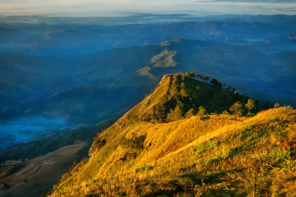
Doi Pha Mon is the second-highest peak in Phu Sang National Park, rising to around 1,550 metres on the Thailand-Laos border ridge in Phayao’s Phu Sang district. It’s a quieter alternative to Phu Chi Fa, the far more famous cliff viewpoint about 30 km north along the same border range in Chiang Rai — Doi Pha Mon draws a fraction of the crowds for a similar cool-season sea-of-mist view.
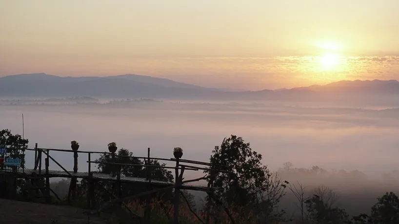
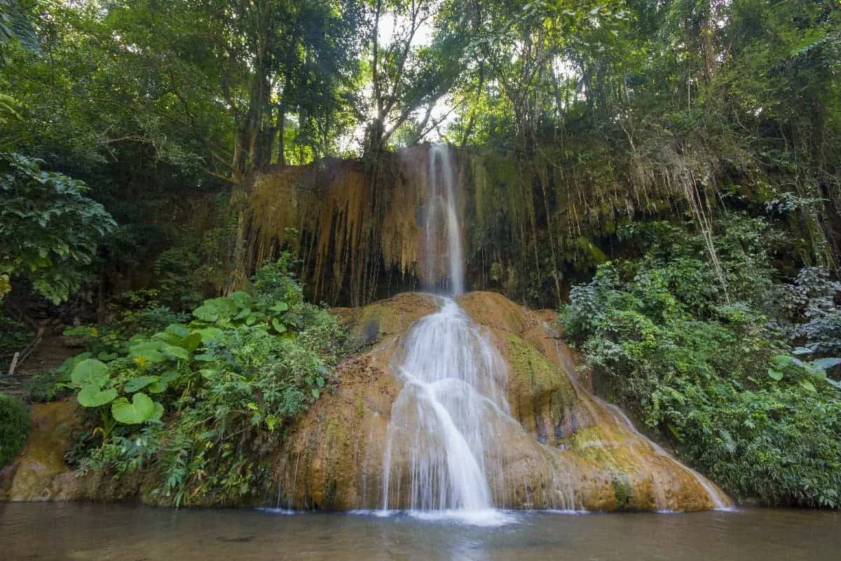
The ridge looks out over forested valleys running down toward Laos, with several named viewpoints along it — locals point visitors to Doi Ian and Doi Sam Liam as well as the main Doi Pha Mon summit. Streams draining these slopes, including the Nam Lao, Nam Ngao, Nam Peuy, and Nam Bong, feed Namtok Phu Sang further down the mountain — the warm-water waterfall that’s the park’s signature feature, geothermally heated rather than fed by melting snow or rain runoff. On a clear cool-season morning the valleys below fill with mist that thins out within an hour or two of sunrise, leaving a view across ridgelines toward the Lao border.
Watch out: Outside the November-to-February cool season, haze and cloud cover regularly block the view entirely — this isn’t a viewpoint worth a special detour in the hot or rainy months.
Access runs through the national park rather than a separate gate, so the standard park hours and admission apply. That means an early sunrise ascent depends on the ridge track being open before the main 08:00 gate time; the park office is the best source on current access, and camping inside the park the night before is the more reliable way to catch the mist at first light rather than driving in from outside.
Insider Tip: Call or message the park office ahead of a planned sunrise visit — ridge-track conditions and any seasonal access restrictions change with the weather, and staff can confirm whether an early departure from the campground is possible that week.
- Elevation: Around 1,550 m — second-highest point in Phu Sang National Park
- Entry fee: 100 THB (foreign adult) / 20 THB (Thai adult), part of Phu Sang National Park admission
- Hours: Daily 08:00-17:00 (national park hours)
- Best time: November-February, early morning, for the sea of mist
- Getting there: Via Phu Sang National Park off Highway 1093, around 90 km from Phayao town through Chiang Kham
Pack a light jacket even in the dry season — the ridge sits high enough that mornings run noticeably cooler than the valley floor. Combine the visit with Namtok Nammin Forest Park or the warm waterfall at Phu Sang National Park lower down the mountain, or loop onward to Phu Chi Fa itself if you have a full day to cover both sides of the border ridge.
Location & Directions
Phu Sang, Phayao
Phayao, Thailand
Show your taxi or Grab driver
ดอยผาหม่น
Frequently Asked Questions
Is Doi Pha Mon the same place as Phu Chi Fa?
What does entry to Doi Pha Mon cost?
When is the best time to see the sea of mist?
How do I get to Doi Pha Mon?
Is Doi Pha Mon inside Phu Sang National Park?
Spotted something out of date or incorrect? Let us know
Stay Near Doi Pha Mon
Live prices for places closest to Doi Pha Mon — tap a pin to compare.