Phu Langka Forest Park
หน่วยพิทักษ์อุทยานแห่งชาติถ้ำสะเกิน ที่ สก. 2 (ภูลังกา)
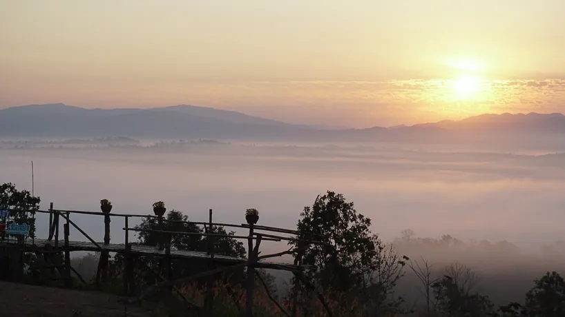
Phu Langka Forest Park spans the border of Chiang Kham and Pong districts in Phayao, part of the Phi Pan Nam mountain range and best known for the sea of mist that fills its valleys on cool mornings between November and February. It’s a forest park (วนอุทยาน) rather than a national park (a smaller RFD-managed designation, established in 2002 and covering 12.48 sq km) and it’s a different place entirely from Nakhon Phanom’s similarly-named Phu Langka National Park 500km away on the Mekong, despite the near-identical name causing constant mix-ups online. Entry here is free.
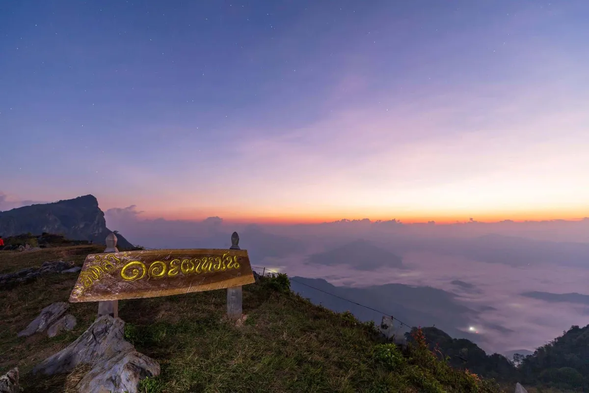
The park’s terrain runs from about 900 metres up to 1,720 metres at its highest point, Phu Tewada, and its best-known feature is Pha Chang Noi: a limestone cliff shaped like a small elephant that’s become the go-to sunrise viewpoint, with cafes and small resorts clustered nearby for the same 180-degree outlook over the mist. A 3km forest trail starts from a small “natural classroom” area planted with herbs and orchids, then winds through stands of old-growth oak and open fields of Melastoma malabathricum: dok khlongkhleng, the pink-flowered shrub that blankets the hillsides in bloom. Doi Phu Nom, a grass-covered hill locals describe as breast-shaped, is a second landmark worth the short detour, and parts of the park were once opium-growing ground before reforestation.
Insider Tip: Get to Pha Chang Noi before sunrise, not after: the mist that makes this park’s reputation burns off within an hour or two of the sun clearing the ridgeline, and the viewpoint gets crowded once it does.
Watch out: The access roads climb steeply and some stretches are unpaved, fine in the cool, dry months but slick and harder going during the rains (June-October), when the sea-of-mist payoff is also far less reliable anyway.
- Designation: Forest park (not a national park), established 2002, 12.48 sq km
- Location: Chiang Kham and Pong districts, Phayao, Phi Pan Nam mountain range
- Elevation: 900-1,720m (highest point: Phu Tewada)
- Entry fee: Free
- Best time: November-February for the sea of mist, clearest around sunrise
Bring warm layers (mornings at altitude in cool season drop close to single digits Celsius) along with water and sturdy shoes for the forest trail. Nights are cold enough that the resorts near Pha Chang Noi do brisk business with travellers basing themselves there specifically for the dawn mist rather than day-tripping in from Phayao town.
Location & Directions
Pha Chang Noi, Pong, Phayao
Phayao, Thailand
Show your taxi or Grab driver
หน่วยพิทักษ์อุทยานแห่งชาติถ้ำสะเกิน ที่ สก. 2 (ภูลังกา)
Frequently Asked Questions
Is this the same place as Phu Langka National Park in Nakhon Phanom?
Is Phu Langka Forest Park actually a national park?
When's the best time to see the sea of mist?
What is Pha Chang Noi?
Is there an entry fee?
Spotted something out of date or incorrect? Let us know
Stay Near Phu Langka Forest Park
Live prices for places closest to Phu Langka Forest Park: tap a pin to compare.