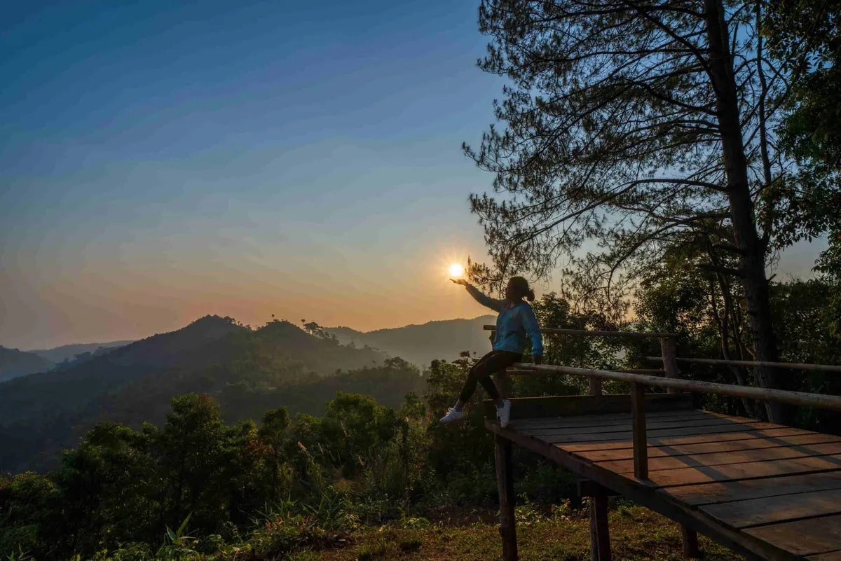
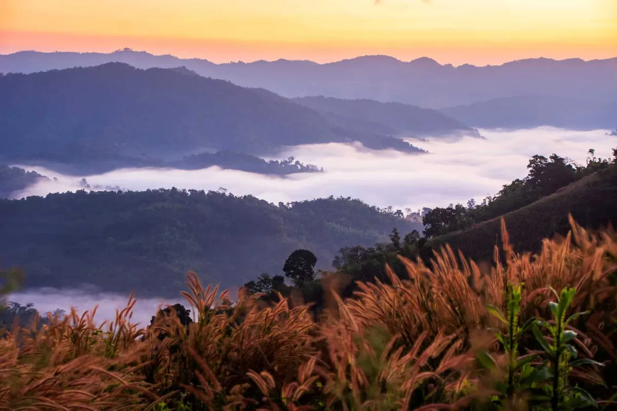
Doi Soi Malai is a roughly 1,600–1,660-metre peak on the Tak side of the Tak–Chiang Mai border, within the Mae Tuen Wildlife Sanctuary and the still-forming Doi Soi Malai–Petrified Wood National Park. Locals call it the “roof of Tak” for the views from the summit over the Bhumibol Dam reservoir and the forested hills either side of the provincial border.
This isn’t a drive-up viewpoint. The track toward the camping ground is steep and rutted, and is generally described as needing a 4WD pickup or a trail motorbike rather than a normal car; hikers on foot face around 10 km to reach the tent-camping area. Three camping spots serve visitors who stay overnight: one near the Bhumibol Dam watershed unit about 5 km before the summit, the summit itself, and another about 5 km beyond it at a forestry watershed station. The summit area has roughly 3 km of walking trails once you’re up there, opening onto views across multiple ridgelines and, on clear mornings, a sea of mist settling into the valleys below.
Insider Tip: This is still a developing park with no paved road or visitor centre. Call the park office in Ban Tak before you set out to confirm current conditions and whether camping spots need to be arranged ahead of time, rather than turning up and hoping.
Watch out: The access road’s condition and the site’s still-forming national park status mean facilities and access can change with little notice. Don’t attempt the drive in an ordinary sedan, and don’t expect mobile signal once you’re on the mountain.
Because the national park covering Doi Soi Malai has not yet been formally gazetted, there’s currently no entrance fee, worth noting because that status, and the fee position, could change once the park is officially declared. Cool season, November through February, gives the clearest skies and most comfortable hiking and camping temperatures; expect cold nights at altitude even though Tak’s lowlands stay warm.
- Entry: Free: the covering national park hasn’t been formally gazetted yet
- Elevation: Approximately 1,600–1,660 metres
- Access: 4WD or trail motorbike recommended; roughly 10 km on foot for hikers
- Camping: Three designated spots, including one at the summit
- Best season: November–February for clear skies and cooler temperatures
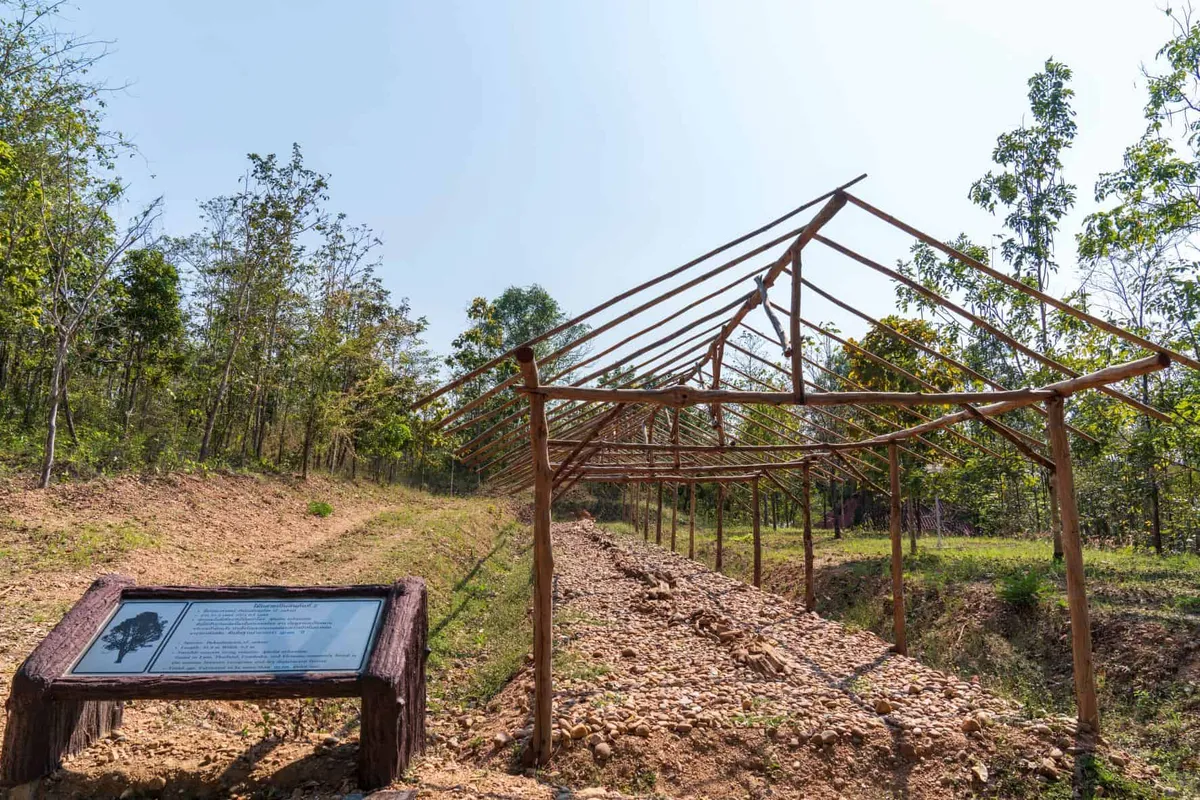
Doi Soi Malai lies within Tak province, inside the Mae Tuen Wildlife Sanctuary and the developing Doi Soi Malai Petrified Wood National Park. The latter covers the same mountain complex plus a petrified wood site, and is worth checking for the latest access updates. The reservoir views from the summit are of Bhumibol Dam, reachable separately by road if you’d rather see it up close than from altitude.
Location & Directions
Ban Tak, Tak
Tak, Thailand
Show your taxi or Grab driver
ดอยสอยมาลัย
Frequently Asked Questions
Is there an entrance fee for Doi Soi Malai?
Do I need a 4x4 to get there?
Can I camp on the summit?
How high is Doi Soi Malai?
Do I need to book in advance?
Spotted something out of date or incorrect? Let us know
Stay Near Doi Soi Malai
Live prices for places closest to Doi Soi Malai: tap a pin to compare.