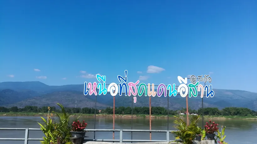
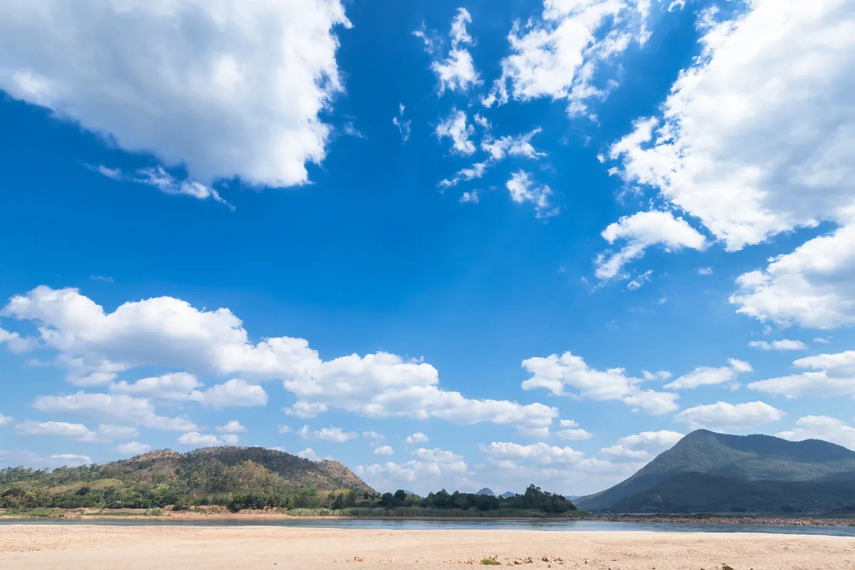
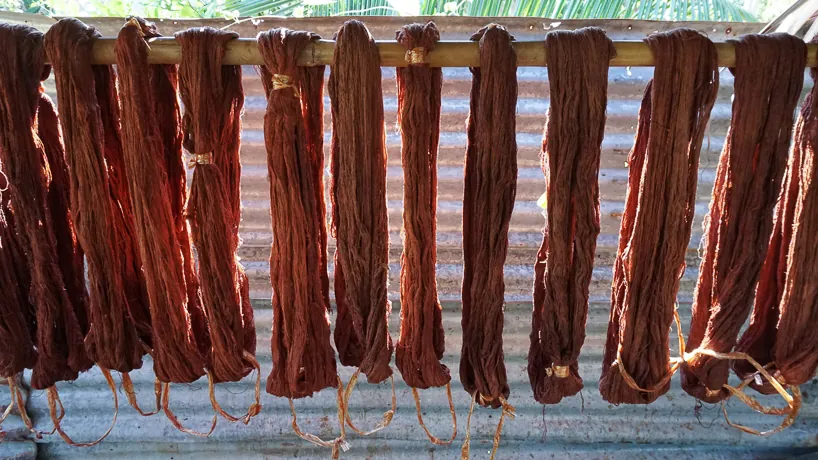
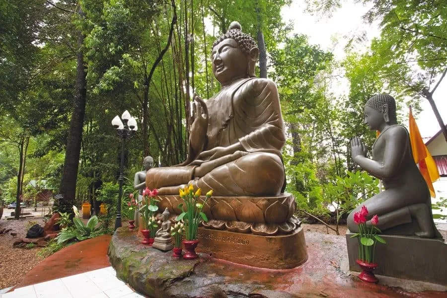
Kaeng Ahong is the stretch of Mekong rapids that runs directly past Wat Ahong Silawat’s riverbank in Ban Ahong village, Bueng Kan — the same spot locals call the Mekong’s Navel, and the reason the temple itself took the “Ahong” name after decades known as Wat Pa Lelai. This page covers the river and rock formations themselves; for the temple’s history and the navel legend, see Wat Ahong Silawat.
The river here narrows and picks up speed over a submerged limestone shelf, and what you see depends entirely on when you visit. During the rainy season, roughly July through October, the current forms a visible, cone-shaped whirlpool over the shelf — the phenomenon locals point to as the deepest, most powerful point of this stretch of the Mekong. By the dry season, March through May, water levels drop enough to expose the rock ledges directly, trading the dramatic swirl for a clearer look at the eroded limestone underneath. The river’s width shifts with it too: around 300 metres across when the water is low, closer to 400 metres in flood.
Local accounts describe extraordinary depths at this point, historically measured by lowering a weighted rope from the bank — figures around 200 metres get repeated often, though that’s tradition rather than a modern hydrographic survey. What’s verifiable by eye is the seasonal transformation itself, and the fact that local fishing communities still work these banks for their livelihood, giving the site a working-river feel rather than a purely scenic one.
Insider Tip: Time your visit to the season you actually want to see — rainy season for the whirlpool, dry season for the rock formations — since the two look like entirely different places depending on water level.
Watch out: This is an open riverbank with a fast current close to the rock shelf, not a fenced viewpoint. Keep a sensible distance from the edge, particularly during high water when the current is strongest.
- Entry fee: Free, no set hours
- Location: Ban Ahong village, Khai Si subdistrict, Mueang Bueng Kan district
- River width: About 300m (dry season) to 400m (flood season)
- Best for the whirlpool: Rainy season, roughly July-October
- Best for the rock formations: Dry season, roughly March-May
Kaeng Ahong pairs naturally with Wat Ahong Silawat right beside it, and with Phu Thok for Bueng Kan’s other signature natural landmark, a sandstone mountain with a wooden staircase to a ridge-top viewpoint.
Location & Directions
Ban Ahong, Khai Si Subdistrict
Bueng Kan, Thailand
Show your taxi or Grab driver
แก่งอาฮง
Frequently Asked Questions
Is Kaeng Ahong the same place as Wat Ahong Silawat?
When are the rapids most impressive to see?
How wide is the Mekong at this point?
Is it free, and how do I get there?
Can you fish or swim here?
Spotted something out of date or incorrect? Let us know
Stay Near Kaeng Ahong
Live prices for places closest to Kaeng Ahong — tap a pin to compare.