




Northernmost Point of Isan Viewpoint
จุดเหนือสุดของดินแดนภาคอีสาน
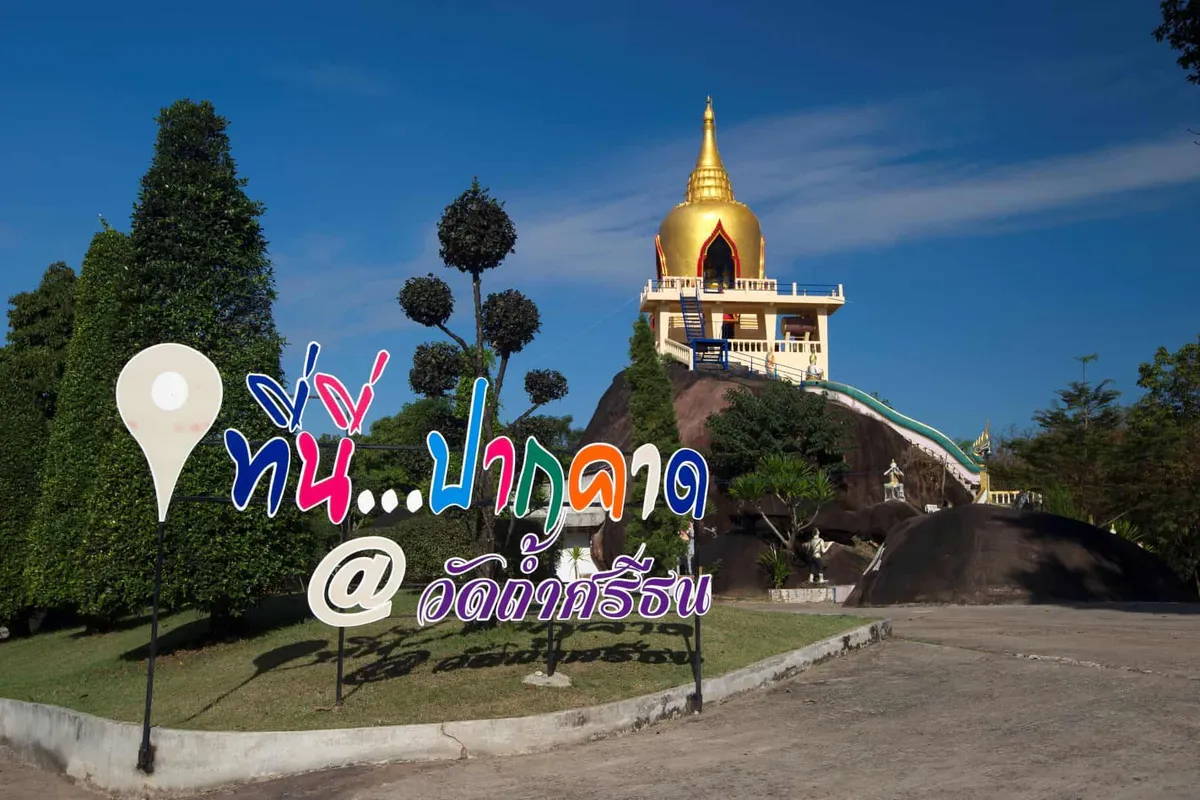
A signposted marker at Ban Sa-ngo village in Ho Kham subdistrict, Bueng Kan, sits at the point where the Mekong’s curve puts this stretch of riverbank at the geographic top of Thailand’s Isan region, looking directly across the water into Laos. It’s free to visit, with no set hours and no facilities beyond the marker itself.
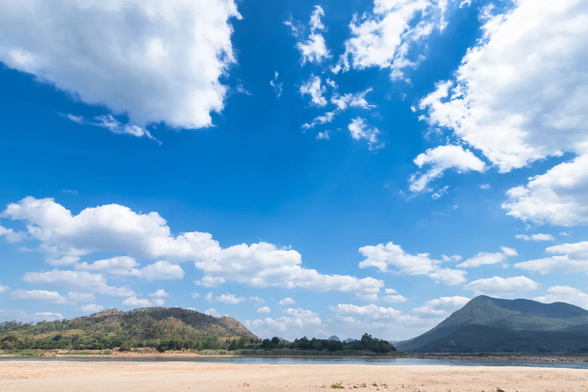
What you actually find here depends heavily on the season. From roughly November through May, as the Mekong drops through the dry months, a wide sandbank locally called Hat Sida emerges along the riverbank, a genuine stretch of pale river sand you can walk out on, with the Lao hills visible across the water. Villagers from Ban Sa-ngo and neighbouring Ban Ho Kham use the same stretch as an informal spot to relax by the river. Once the rains return from around June, the sandbank goes back under and the site is simply a riverside viewpoint and a sign marking the geographic milestone.
This isn’t a developed attraction (no ticket booth, no built viewing platform, no guaranteed vendors) so treat it as a quiet, out-of-the-way stop rather than a polished tourist site. That’s part of the appeal for anyone chasing Thailand’s geographic extremes: it’s a genuinely local riverside spot rather than something built for visitors.
- Entry: Free
- Location: Ban Sa-ngo village, Ho Kham subdistrict, Mueang Bueng Kan
- Best season: November-May, when the Mekong sandbank (Hat Sida) is exposed
- Facilities: Minimal to none. Bring your own water and snacks
- Access: Car or motorbike only; no public transport
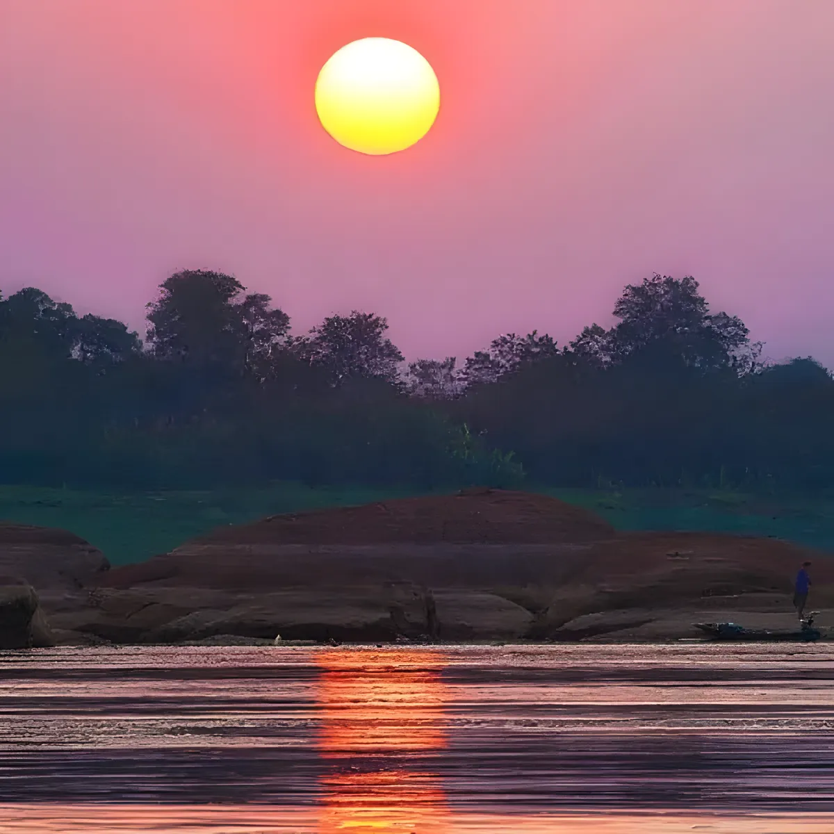
Insider Tip: Go in the late afternoon if you’re visiting in the dry season: the sandbank stays cool enough to walk barefoot and the light across the river toward Laos is better for photos than midday glare.
Watch out: This is an active river border, not a fenced-off lookout. Stay on the exposed sandbank rather than wading into the current, since the Mekong’s flow and depth can shift quickly even in the dry season.
For another stretch of the same seasonal phenomenon, White Sand Dune at Khong River is a separate Mekong sandbank elsewhere in Bueng Kan province, and the Bueng Kan Living Community Museum, a fair drive south in So Phisai district, gives broader context on riverside village life for anyone touring the province.
Location & Directions
Ban Sa-ngo, Mueang Bueng Kan, Bueng Kan
Bueng Kan, Thailand
Show your taxi or Grab driver
จุดเหนือสุดของดินแดนภาคอีสาน
Frequently Asked Questions
What exactly is the "northernmost point of Isan"?
Is there anything to see beyond the marker itself?
Is it free to visit?
When is the best time to visit?
How do you get to the viewpoint?
Spotted something out of date or incorrect? Let us know
Stay Near Northernmost Point of Isan Viewpoint
Live prices for places closest to Northernmost Point of Isan Viewpoint: tap a pin to compare.