Khao Men
เขาเหมน
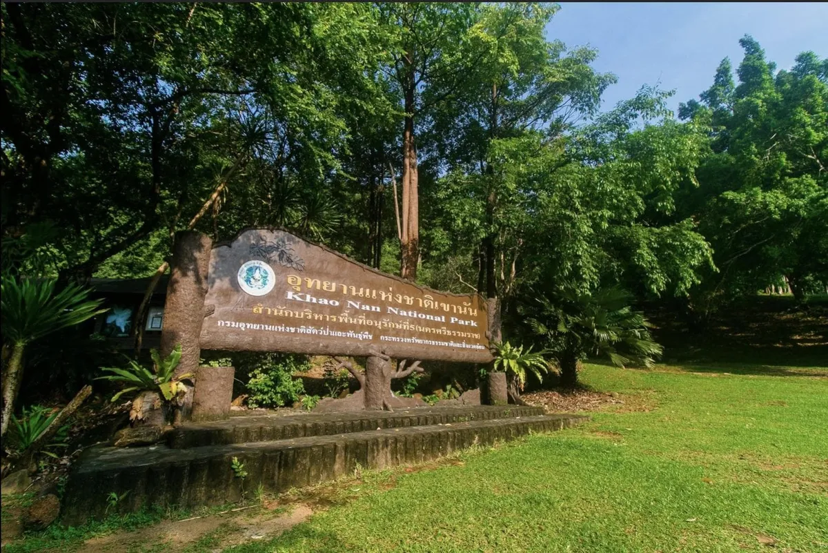
Khao Men is a 1,307-metre peak on the boundary of Chang Klang and Na Bon districts, the highest point in Nakhon Si Thammarat’s Nam Tok Yong National Park. Some tourism listings translate its local nickname as “Mount Meru”. This page uses that title for search purposes, but the mountain has no connection to Phra Sumeru, the mythical world-mountain of Buddhist and Hindu cosmology. The Thai name is เขาเหมน, Khao Men.
This isn’t a casual afternoon hike. The summit trail sits inside a national park with a visitor quota, so access goes through a registered trekking operator or the park office rather than a walk-in trailhead. Most trips run as a two-day, one-night camping trek: hikers meet guides and porters at the Khlong Chang Waterfall ranger station in Na Bon district, then climb roughly 3km of fairly steep path (3 to 5 hours) to a base camp near a spot known as Hill 499. Porters carry the shared gear (tents, food, cooking equipment); trekkers carry their own daypacks. Compared to other multi-day treks in the south, guides rate it relatively forgiving: a clear path, no river crossings, and few leeches.
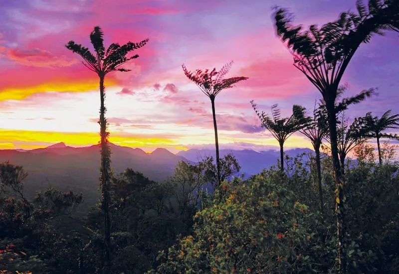
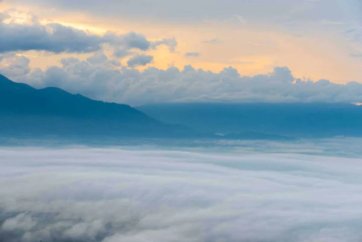
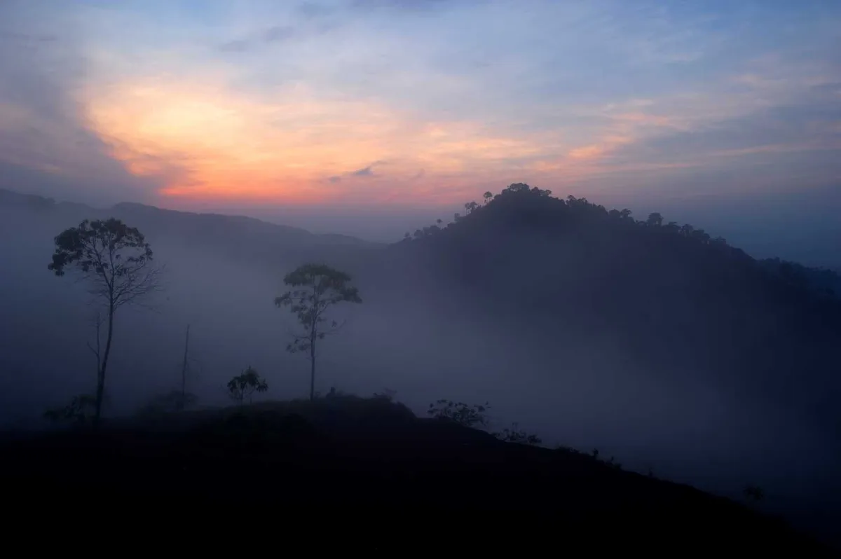
The reward is a 360-degree viewpoint reached for sunrise, when a sea of mist typically fills the valleys between Chang Klang, Na Bon, and Thung Song. Cool temperatures, strong wind, and cloud cover are the norm at this elevation almost year-round, a sharp contrast to the tropical heat at the trailhead. Pack a warm layer even if you’re travelling light through the rest of southern Thailand. Operators generally run trips outside the heaviest rains, roughly June through December, though conditions and quota availability shift year to year.
Watch out: Because the trek is quota-limited, don’t plan a same-day or walk-up visit. Book through a licensed operator or the park office in advance, particularly for weekends and the cooler months when demand is highest.
Insider Tip: Groups of six or more can usually arrange a private departure date instead of joining a scheduled trip, useful if you want to avoid a crowded summit at sunrise.
- Elevation: 1,307m, the highest point in Nam Tok Yong National Park
- Access: Guided trek only, booked in advance through a registered operator or the park office
- Typical itinerary: 2 days, 1 night; ~3km, 3-5 hours to base camp near Hill 499
- Trailhead: Khlong Chang Waterfall station, Na Bon district
- Fee: National park fee (foreigners pay a surcharge on top of Thai visitors) bundled into the trek package price
Nam Tok Yong National Park’s office can be reached on 0 7580 9277 for current quota and season information. If you’re building a Nakhon Si Thammarat itinerary around viewpoints and sea-of-mist spots, Khao Sun Sea of Mist and Krung Ching Sea Of Fog are lower-effort alternatives elsewhere in the province if the Khao Men quota is full.
Location & Directions
Chang Klang, Nakhon Si Thammarat
Nakhon Si Thammarat, Thailand
Show your taxi or Grab driver
เขาเหมน
Frequently Asked Questions
Is this the same Mount Meru as the sacred mountain in Buddhist and Hindu cosmology?
Can I just hike up on my own, or do I need to book something?
How long does the trek take?
Where does the trek start?
What's the payoff for the climb?
Spotted something out of date or incorrect? Let us know
Stay Near Khao Men
Live prices for places closest to Khao Men: tap a pin to compare.