Nam Pung Dam
เขื่อนน้ำพุง
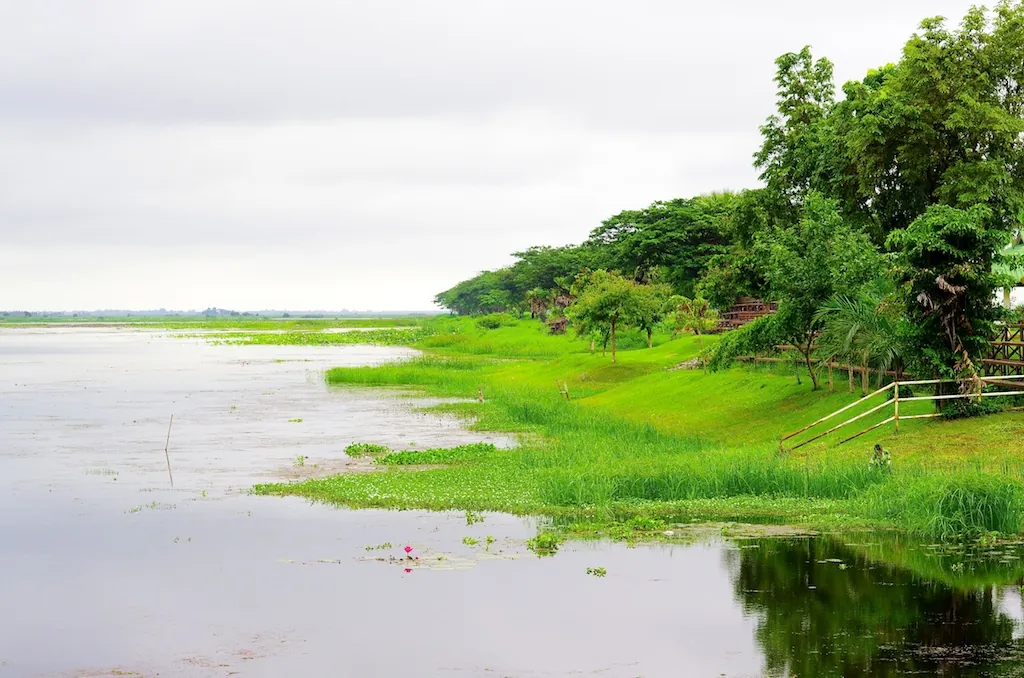
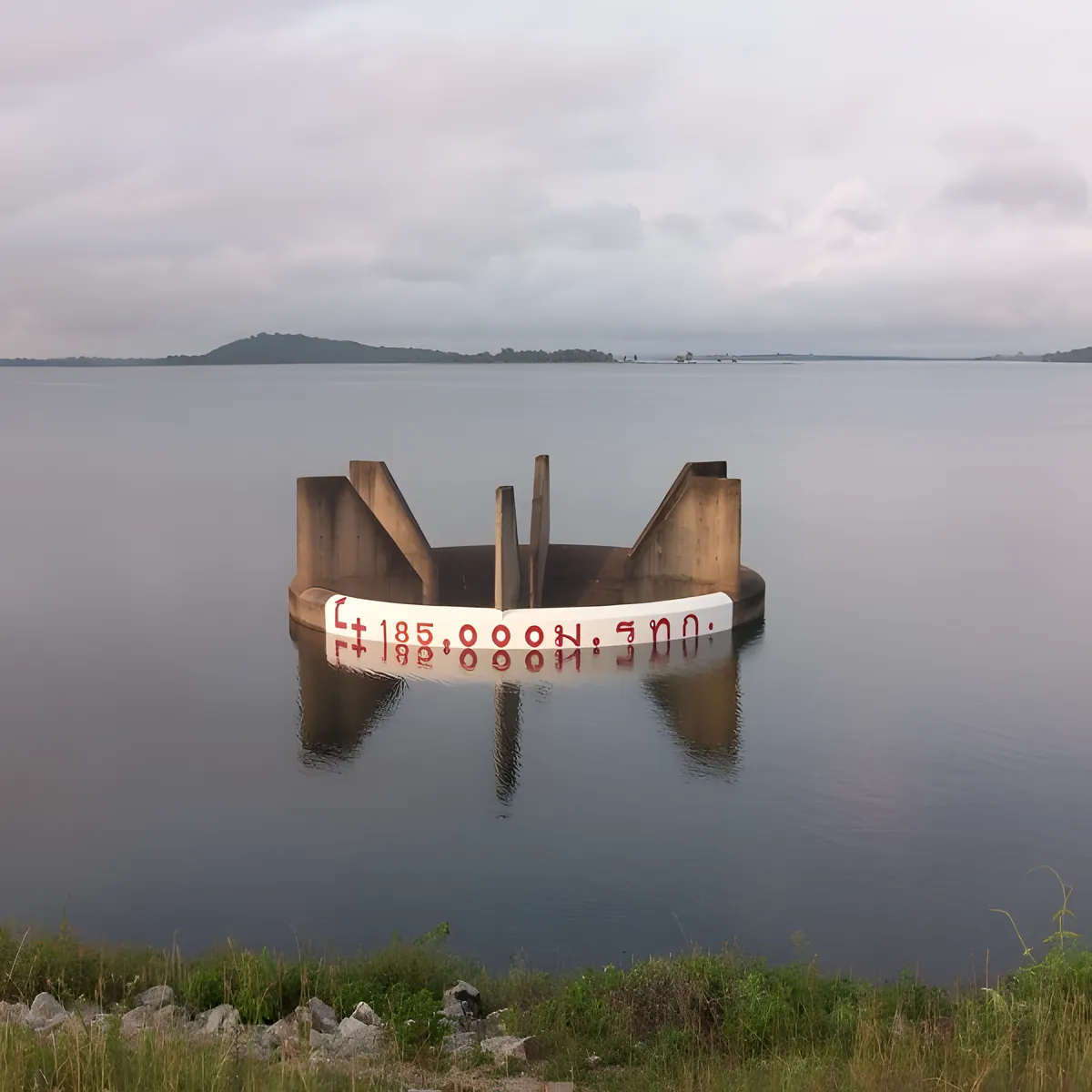
Nam Pung Dam is an earth-core rockfill dam on the Phung River in Phu Phan district, about 30 km from Sakon Nakhon city on the road toward Kalasin. Built by the Electricity Generating Authority of Thailand and completed in 1965, it was the first hydroelectric project in northeastern Thailand — a modest 6.3 MW station attached to a dam roughly 40 metres high and 1,720 metres long. The reservoir behind it holds around 165 million cubic metres of water across a catchment that turns the otherwise dry, rolling Isan hills into open water for as far as you can see from the dam crest.
The main activity here is simple: walk or drive along the dam crest itself, which doubles as a scenic road with views down over the water on one side and the Phu Phan hills on the other. It’s a popular local spot for an evening walk or a short exercise loop, and the crest catches good light for sunset photography since it faces open water to the west. There’s no boardwalk, no boat dock, and no ticketed viewpoint — just the dam structure, a car park, and the view.
Watch out: Don’t expect visitor infrastructure on the scale of Thailand’s tourist dams. There’s no confirmed boat-hire or fishing concession at Nam Pung — if either matters to your visit, call ahead (0 4270 8094) rather than assuming it’s available on arrival.
For an overnight stay, Ploeng Payung Camping sits on the reservoir edge near the dam — an independently run tent site with water views and a moo kata (Thai barbecue) service, separate from the dam’s own facilities. It’s the closest thing to organised recreation in the immediate area, and a reasonable base if you’re combining the dam with the wider Phu Phan district, including Phu Phan National Park nearby.
Insider Tip: Go in the last hour before the 16:00 close for the best light — the dam faces open water and catches a clean sunset with the hills silhouetted behind it, without the midday heat haze that flattens photos taken earlier in the day.
- Entry fee: Free
- Hours: Daily 08:00-16:00
- Built: 1965, EGAT, first hydro project in northeastern Thailand
- Dam size: ~40 m high, 1,720 m long
- Getting there: ~30 km from Sakon Nakhon city on the Sakon Nakhon-Kalasin road
Combine a stop here with Phu Phan National Park or Phu Phan Ratchaniwet Palace, both within the same district — the Sakon Nakhon destination guide covers the rest of the province.
How to Get There
About 30 km from Sakon Nakhon city centre on the Sakon Nakhon-Kalasin road, in Khok Phu subdistrict, Phu Phan district — the dam is signed on the left side of the road. Your own vehicle is the practical option; public transport out this way is limited.
Location & Directions
Phu Phan, Sakon Nakhon
Sakon Nakhon, Thailand
Show your taxi or Grab driver
เขื่อนน้ำพุง
Frequently Asked Questions
What kind of dam is Nam Pung Dam?
Is it free to visit?
Can you fish or take a boat out on the reservoir?
Is there anywhere to camp nearby?
How far is it from Sakon Nakhon city?
Spotted something out of date or incorrect? Let us know
Stay Near Nam Pung Dam
Compare places to stay in Sakon Nakhon, or open the map for options closest to the attraction.