Namtok Hin Dat
น้ำตกหินดาด
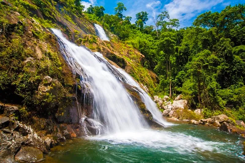
Namtok Hin Dat is a 12-tier cascade on the southern slope of the Soi Dao mountain range in Thap Sai subdistrict, Pong Nam Ron district — a genuinely remote waterfall in eastern Chanthaburi, not the far more famous Hin Dat Hot Springs near the WWII Death Railway in Kanchanaburi on the other side of the country. The two share only a name; this Hin Dat is a forest cascade, not a hot spring, and sits close to the Cambodian border rather than the River Kwai.
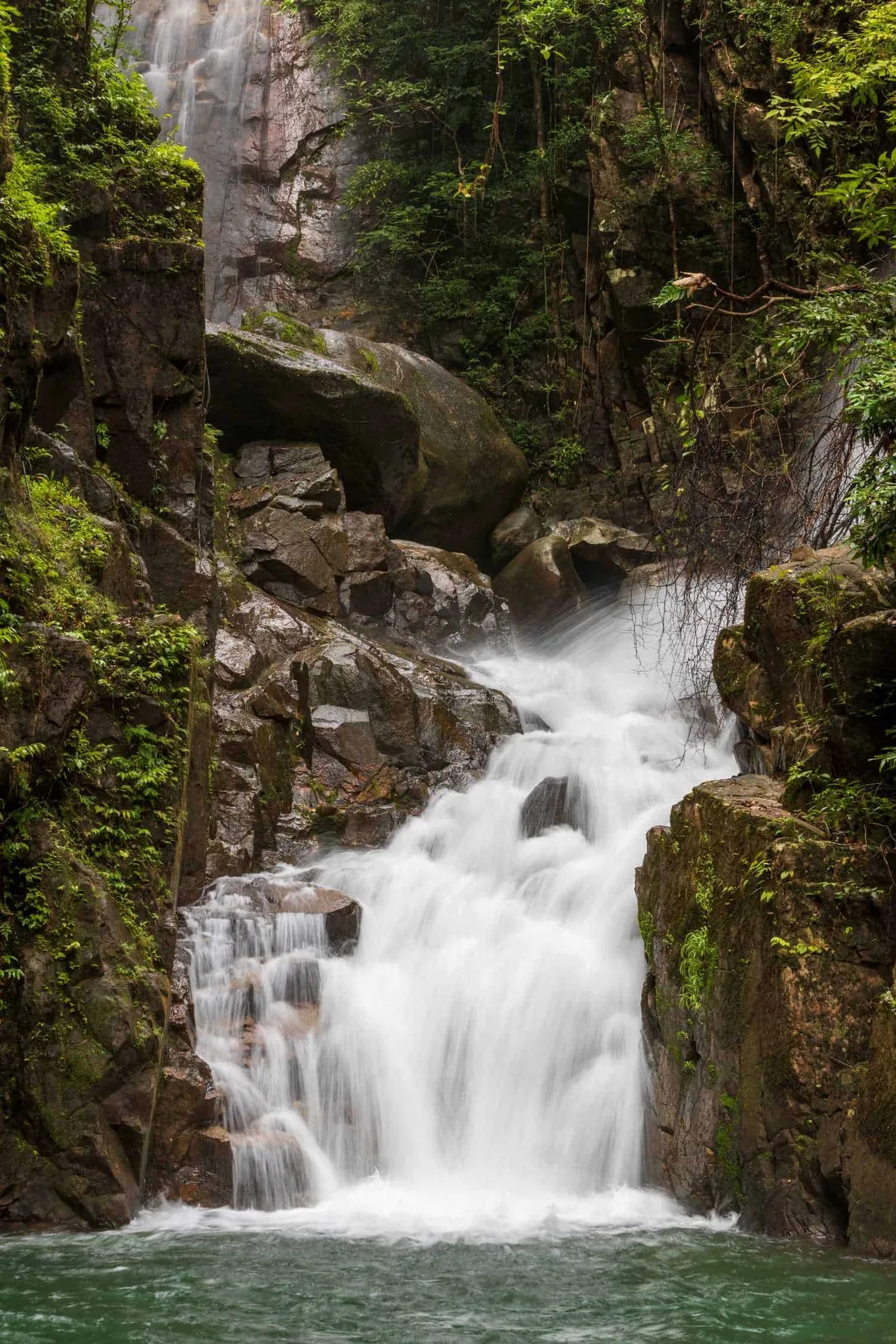
Getting there is the main part of the experience. The trailhead sits about 10 km from Pong Nam Ron District Office, and from there it’s a further 3 km on foot — a steep, unmarked path historically used by local rattan harvesters, taking roughly 2 hours each way. Local sources describe 12 distinct tiers along the fall, with tiers 9 through 12 the most scenic, set among what’s said to be the largest rattan forest in the Soi Dao range. Reaching the upper tiers safely means going with a local guide rather than attempting it alone; the community can arrange one through the subdistrict office.
The waterfall isn’t inside the formal boundary of Khao Soi Dao Wildlife Sanctuary, which is why there’s no national park entrance fee here — but that also means less infrastructure than the sanctuary’s own falls: no marked trail signage, no ranger station at the base, and no set safety net beyond the guide you bring.
Watch out: This is not a casual roadside waterfall. The 3 km approach trail is a working forest path, not a maintained tourist route, and it’s genuinely easy to get lost or hurt without a guide who knows the ground.
Insider Tip: Call the Thap Sai Subdistrict Administrative Organisation (0 3936 0241) before you travel, both to arrange a guide and to check current trail conditions — this isn’t a fall with a fixed visitor centre or online booking.
- Entry fee: Free (no national park ticket; a local guide/maintenance fee may apply)
- Hours: Roughly 08:00-17:00, guide required for upper tiers
- Tiers: 12, with tiers 9-12 the most scenic
- Hike: ~3 km, roughly 2 hours each way, steep and unmarked
- Best season: July-October (rainy season) for strongest flow
This falls in the same mountain range as Namtok Khao Soi Dao, a separate and better-known waterfall inside the wildlife sanctuary proper — worth checking if you want an easier, more established trail. For more of the province’s cascades, see Namtok Phlio National Park or the Chanthaburi destination guide.
How to Get There
From Chanthaburi town, take Highway 317 toward Pong Nam Ron, then local roads into Thap Sai subdistrict. The trailhead is about 10 km from Pong Nam Ron District Office; from there it's a further 3 km on foot, roughly 2 hours each way on a steep, unmarked trail. Arrange a local guide through the Thap Sai Subdistrict Administrative Organisation (0 3936 0241) before setting out — this is not a waymarked national park trail.
Location & Directions
Pong Nam Ron, Chanthaburi
Chanthaburi, Thailand
Show your taxi or Grab driver
น้ำตกหินดาด
Frequently Asked Questions
Is this the same as Hin Dat Hot Springs?
Is Namtok Hin Dat inside Khao Soi Dao Wildlife Sanctuary or a national park?
How many tiers does the waterfall have?
Do you need a guide?
Is entry free?
Spotted something out of date or incorrect? Let us know
Stay Near Namtok Hin Dat
Compare places to stay in Chanthaburi, or open the map for options closest to the attraction.