




Phuttha Utthayan Reservoir
อ่างเก็บน้ำพุทธอุทยาน
Phuttha Utthayan Reservoir sits about 3 km north of Amnat Charoen town, a working irrigation reservoir the Royal Irrigation Department built between 1957 and 1963 that’s since become the town’s main public park. Entry is free, open daily 08:00-18:00, and the whole site is small enough to cover on foot in an hour or two.
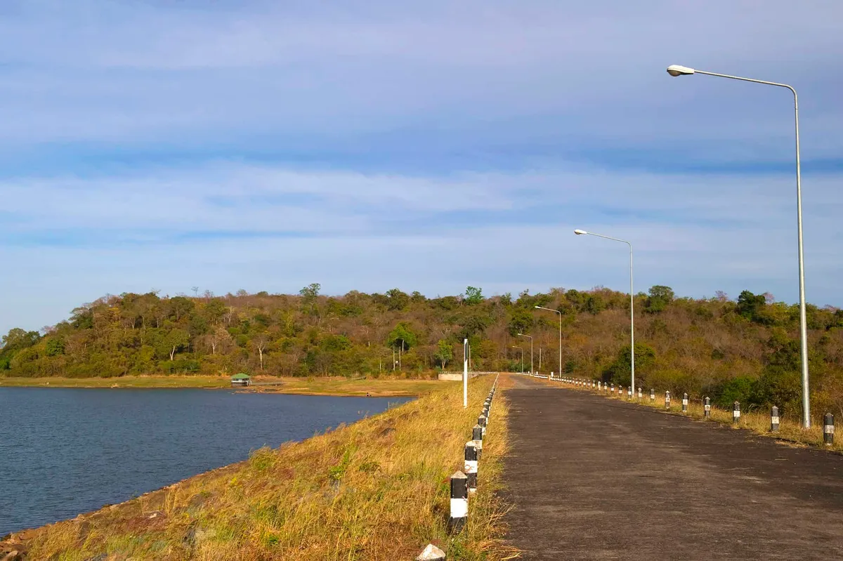
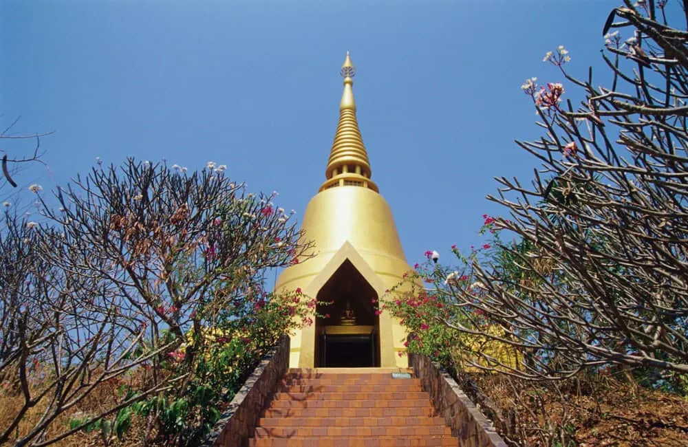
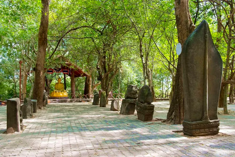
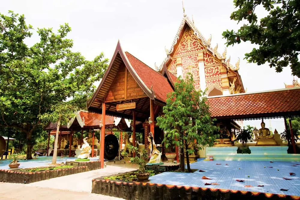
The reservoir is also known locally as Huai Pla Daek Reservoir. Its earthen dam runs 1,300 metres long and 6 metres wide, holding back up to 21.94 million cubic metres of water, enough to irrigate farmland and support fish stocks across Tambon Bung and the surrounding area. The park takes its more common name from Phuttha Utthayan, the adjoining Buddha park built around the large Phra Mongkhon Ming Mueang Buddha image, which sits on rising ground overlooking the water and gives Amnat Charoen its most recognisable landmark. Locals treat the reservoir and Buddha park as one combined outing rather than two separate stops.
Out on the water, Koh Chitrakut is the reservoir’s best-known feature: a small, naturally heart-shaped island that’s picked up the nickname “Koh Sanya Rak,” or Promise-of-Love Island, among Thai visitors who come to take photos at its edge. Early mornings bring out local fishermen working the shallows, and the walking paths around the perimeter pass a mix of shade trees, picnic spots, and a scatter of small resorts that have grown up along the shoreline over the years. It’s a working landscape rather than a manicured park: irrigation infrastructure, fish farming, and recreation all share the same water.
Insider Tip: Walk the shoreline path toward Koh Chitrakut in the late afternoon, when the heat has dropped and the light is best for photos of the heart-shaped islet.
Watch out: There’s minimal shade directly on the dam embankment itself. Bring a hat and water if you’re walking at midday, and stick to the tree-lined sections of the path when the sun is high.
- Entry fee: Free
- Hours: Daily 08:00-18:00
- Distance: About 3 km north of Amnat Charoen town
- Built: 1957-1963 by the Royal Irrigation Department; capacity 21.94 million m³
- Also known as: Huai Pla Daek Reservoir
Combine the visit with Phuttha Utthayan and Phra Mongkhon Ming Mueang, the giant Buddha image the park is named for, or Huai Si Tho Reservoir elsewhere in the province. Both are easy add-ons from Amnat Charoen town, about 75-80 km from Ubon Ratchathani, the province Amnat Charoen split from in 1993.
Location & Directions
Mueang Amnat Charoen, Amnat Charoen
Amnat Charoen, Thailand
Show your taxi or Grab driver
อ่างเก็บน้ำพุทธอุทยาน
Frequently Asked Questions
How far is the reservoir from Amnat Charoen town?
Why is it called Phuttha Utthayan ("Buddha Park") Reservoir?
What's the heart-shaped island?
Is there an entrance fee?
How far is Amnat Charoen from Ubon Ratchathani?
Spotted something out of date or incorrect? Let us know
Stay Near Phuttha Utthayan Reservoir
Live prices for places closest to Phuttha Utthayan Reservoir: tap a pin to compare.