Ramkhamhaeng National Park (Khao Luang)
อุทยานแห่งชาติรามคำแหง (เขาหลวง)
Ramkhamhaeng National Park protects Khao Luang, a forested ridge rising to around 1,200 metres just south of Sukhothai’s old city. It’s a working alternative to the flat historical park nearby — three marked trails, a scattering of seasonal waterfalls, and a summit hike that most people finish in about six hours round trip. Entry costs 200 THB for foreign adults (100 THB for children), 40 THB for Thai adults.
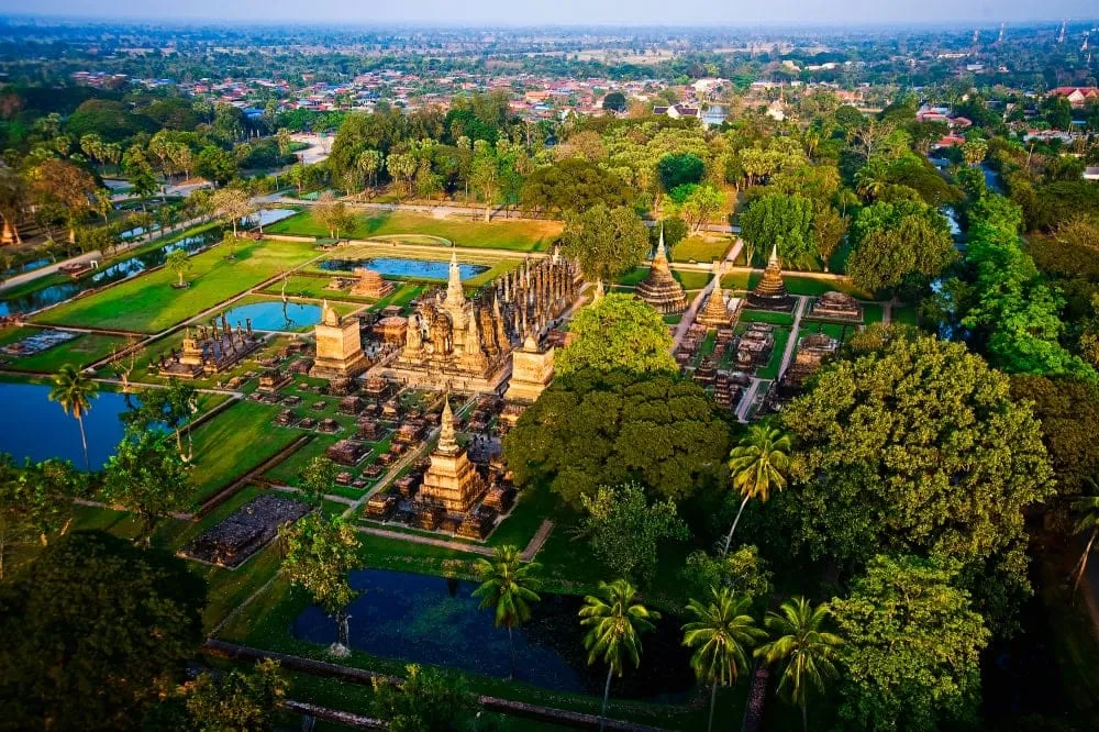
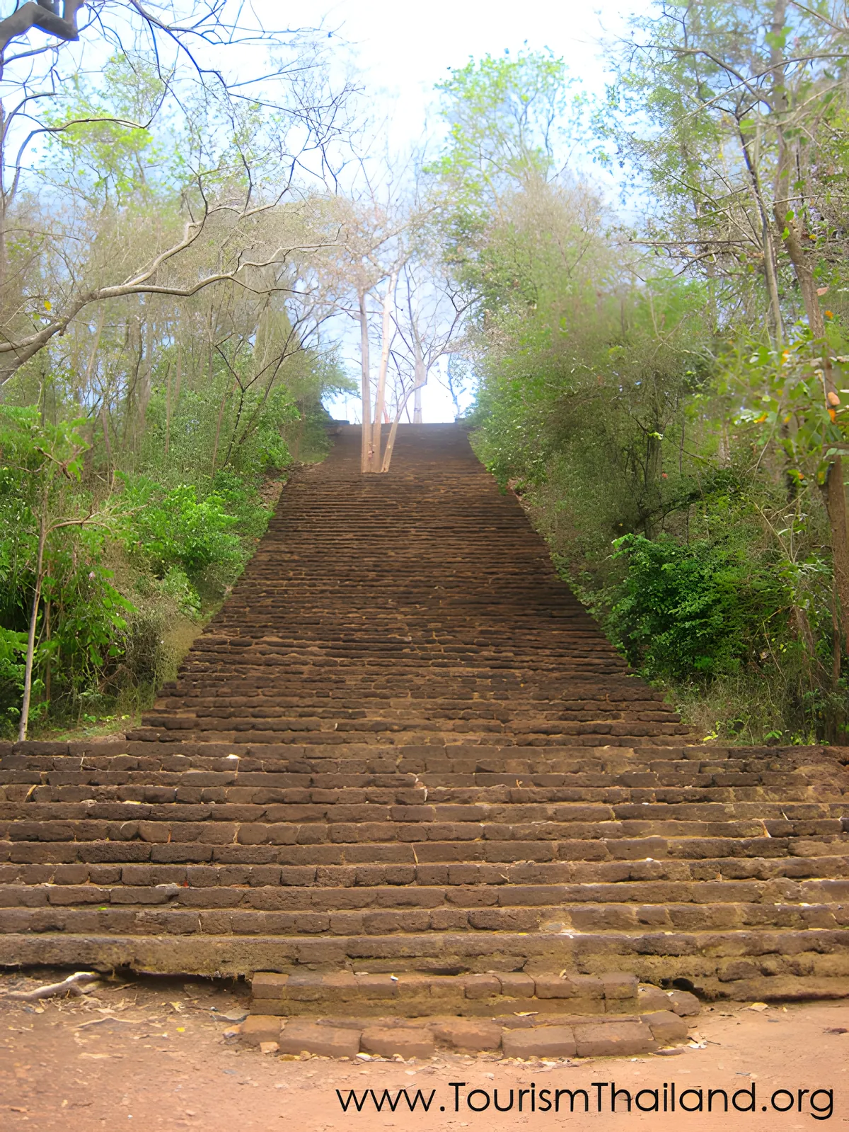
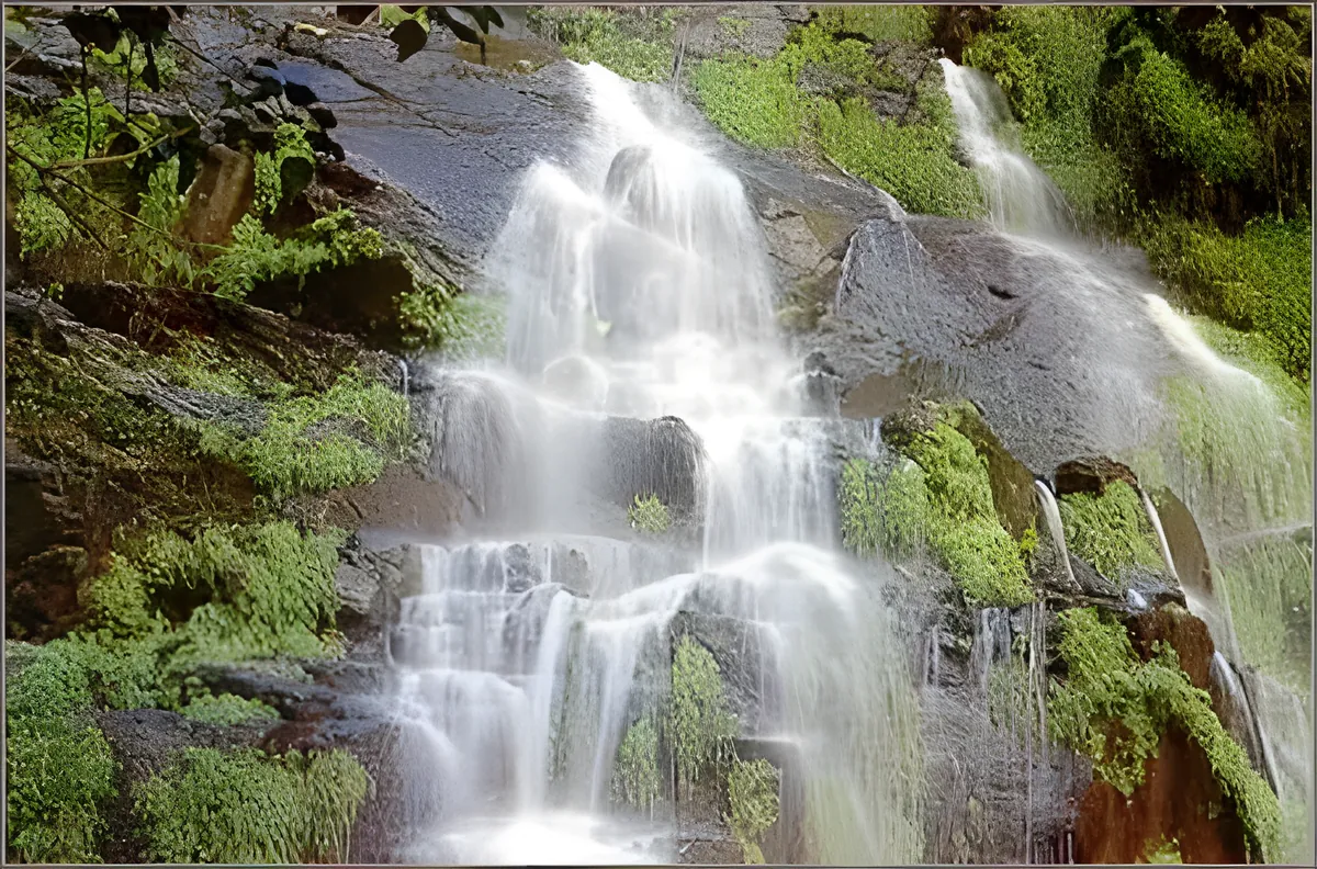
The main trail leaves from park headquarters and climbs roughly 4 km through deciduous forest to a run of ridge viewpoints, with barrels of drinking water placed along the route and a small snack stall about ten minutes below the top. From the upper viewpoints, the plains around Sukhothai spread out below, with the historical park’s temple spires visible as pale dots against the green on a clear day. A shorter loop closer to headquarters passes Hin Rang Waterfall and suits visitors who want the forest without the full climb. Trails run through mixed deciduous woodland rather than dense rainforest, so shade is patchy and the afternoon sun is direct on exposed ridge sections.
Watch out: rangers stop hikers from starting the summit trail after 3:30pm — the descent takes hours and there’s no lighting on the path. Plan to be at headquarters by early morning if you want the full round trip done in daylight.
Weekday visits are quiet enough that you’ll likely share the trail with local Thai hikers rather than tour groups; this park doesn’t get the coach traffic that Sukhothai Historical Park does. Overnight camping is possible near headquarters — rent a tent on-site or bring your own gear for a flat camping fee — but stock up on food before you arrive, since the stall near the summit sells only dried snacks, not meals.
Insider Tip: Cool season (November–February) is by far the most comfortable window for the climb — daytime temperatures on the ridge sit well below the valley heat, and visibility over the Sukhothai plains is clearest. In the rainy months the trail gets slick and some viewpoints cloud over by midday.
- Entry fee: 200 THB foreign adult / 100 THB foreign child, 40 THB Thai adult / 20 THB Thai child
- Hours: Daily 08:30–16:30; last summit departure by 15:30
- Main hike: ~4 km to ridge viewpoints, roughly 6 hours round trip
- Getting there: ~20 km south of Old Sukhothai, self-drive or taxi — no public bus to the gate
- Camping: Tent rental or bring-your-own on a flat site fee; bungalows also available near headquarters
Bring hiking shoes, a few litres of water beyond what the trailside barrels offer, and a layer for the ridge — it’s noticeably cooler than the valley floor. Pair the visit with Sukhothai Historical Park or the Ramkhamhaeng National Museum in town to make a full day of it; the museum in particular gives useful context for the ruins you’ll spot from the ridge.
Location & Directions
Khiri Mat, Sukhothai
Sukhothai, Thailand
Show your taxi or Grab driver
อุทยานแห่งชาติรามคำแหง (เขาหลวง)
Frequently Asked Questions
Is this the same Khao Luang National Park that's Southern Thailand's highest peak?
How much does Ramkhamhaeng National Park cost to enter?
How hard is the hike to the top?
Can you camp inside the park?
How do you get to the park from Sukhothai?
Spotted something out of date or incorrect? Let us know
Stay Near Ramkhamhaeng National Park (Khao Luang)
Compare places to stay in Sukhothai, or open the map for options closest to the attraction.