Ban Ta Rue
บ้านท่าเรือ
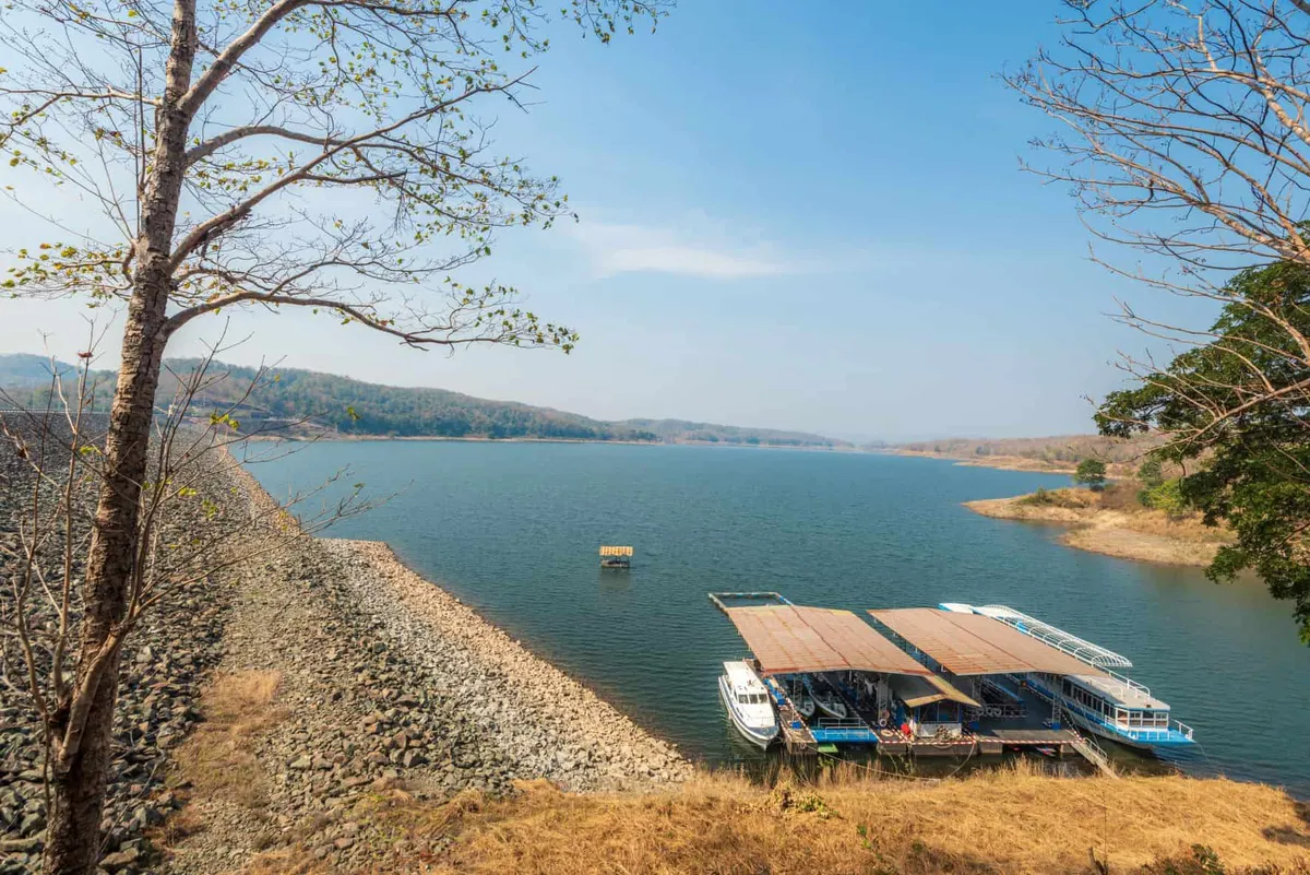
Ban Ta Rue is a working fish pier on the shore of the Sirikit Dam reservoir, in Moo 9 of Tha Pla subdistrict, Uttaradit — not the farming hamlet its name sometimes suggests. Boats bring the day’s catch in from the reservoir formed by damming the Nan River, and the same jetty doubles as the departure point for raft trips that head out across the water. It’s a fishing community first, a tourist stop second.
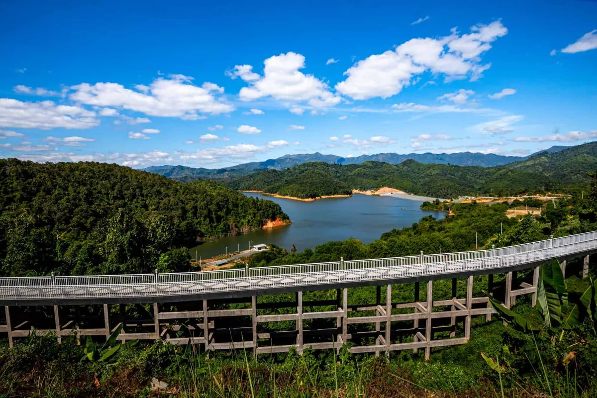
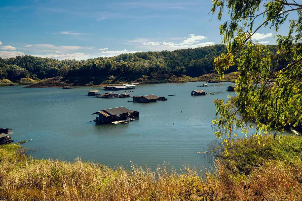
The pier itself is the centre of activity: fishermen unloading crates, buyers haggling over the catch, and rafts moored along the bank waiting for the next group heading out. From here, operators including Kaseenee Tour Raft and Tan Fah Tour Raft run trips onto the reservoir — a day trip departing in the morning and returning by evening, meals included, or an overnight stay moored somewhere quieter on the water. The reservoir itself is broad enough to feel like a lake, ringed by forested hills that turn a deep green in the rainy months and pale gold-brown as water levels drop later in the dry season.
What you won’t find here is the stilt-house, rice-paddy village experience that gets attached to rural Thailand in general — Ban Ta Rue’s rhythm is set by boat schedules and fish landings, not farming calendars. Early morning is when it’s liveliest, as overnight catches come in and the pier fills with activity before the heat of the day settles in. By afternoon, things quiet down to a handful of rafts drifting on still water.
Getting there means following Highway 1146 out of Tha Pla district, onto Highway 1163 for about 6 km, then Route 1341 for a further 4 km to the signposted village. There’s no direct public transport, so a car or motorbike is the realistic option. Insider Tip: turn up at the pier before 8 AM if you want to see the fish market at its busiest — by mid-morning most of the catch has already been sold. Watch out: raft trip prices and schedules are set by the individual boat operators, not a central booking office, so confirm cost and timing directly with them rather than assuming a fixed rate.
- What it is: a fishing pier and community on the Sirikit Dam reservoir, not a farming village
- Raft trips: day trips (meals included) or overnight stays, booked through local operators
- Getting there: Highway 1146 → 1163 (~6 km) → Route 1341 (~4 km) from Tha Pla district
- Entry: free to visit; raft trips and fish purchases are paid separately
- Nearby: Sirikit Dam, the structure that created the reservoir
The dam that created this stretch of water is worth pairing with a visit — see Sirikit Dam for the engineering side of the same reservoir, or Ban Hat Kai Toi Community for another riverside settlement in the same district.
Location & Directions
Tha Pla, Uttaradit
Uttaradit, Thailand
Show your taxi or Grab driver
บ้านท่าเรือ
Frequently Asked Questions
What is Ban Ta Rue actually known for?
Can you actually get out on the water?
How much do the raft trips cost?
How do you get to Ban Ta Rue without a tour?
Is there an entrance fee?
Spotted something out of date or incorrect? Let us know
Stay Near Ban Ta Rue
Live prices for places closest to Ban Ta Rue — tap a pin to compare.