


Uttaradit
อุตรดิตถ์
The northern port city on the Nan River — home to a world-record teak tree, Thailand's largest earth-fill dam, and a walled district whose name means 'hidden from sight'.
Recommended by us

Ton Sak Yai giant teak tree
Thailand's largest teak tree — over 1,500 years old and wide enough that it takes around six people with arms outstretched to encircle it. A quiet forest park that takes about an hour to explore properly.
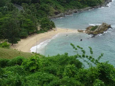
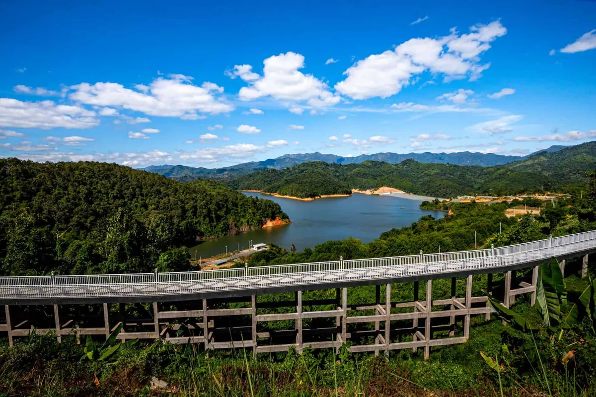
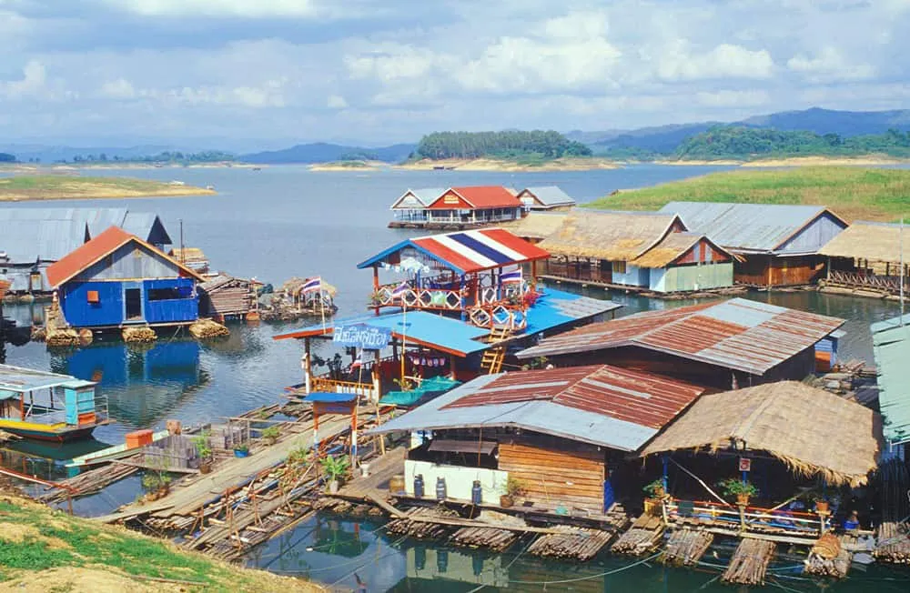
Sirikit Dam
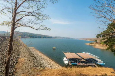
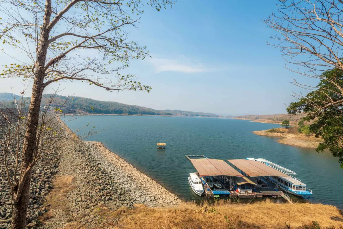
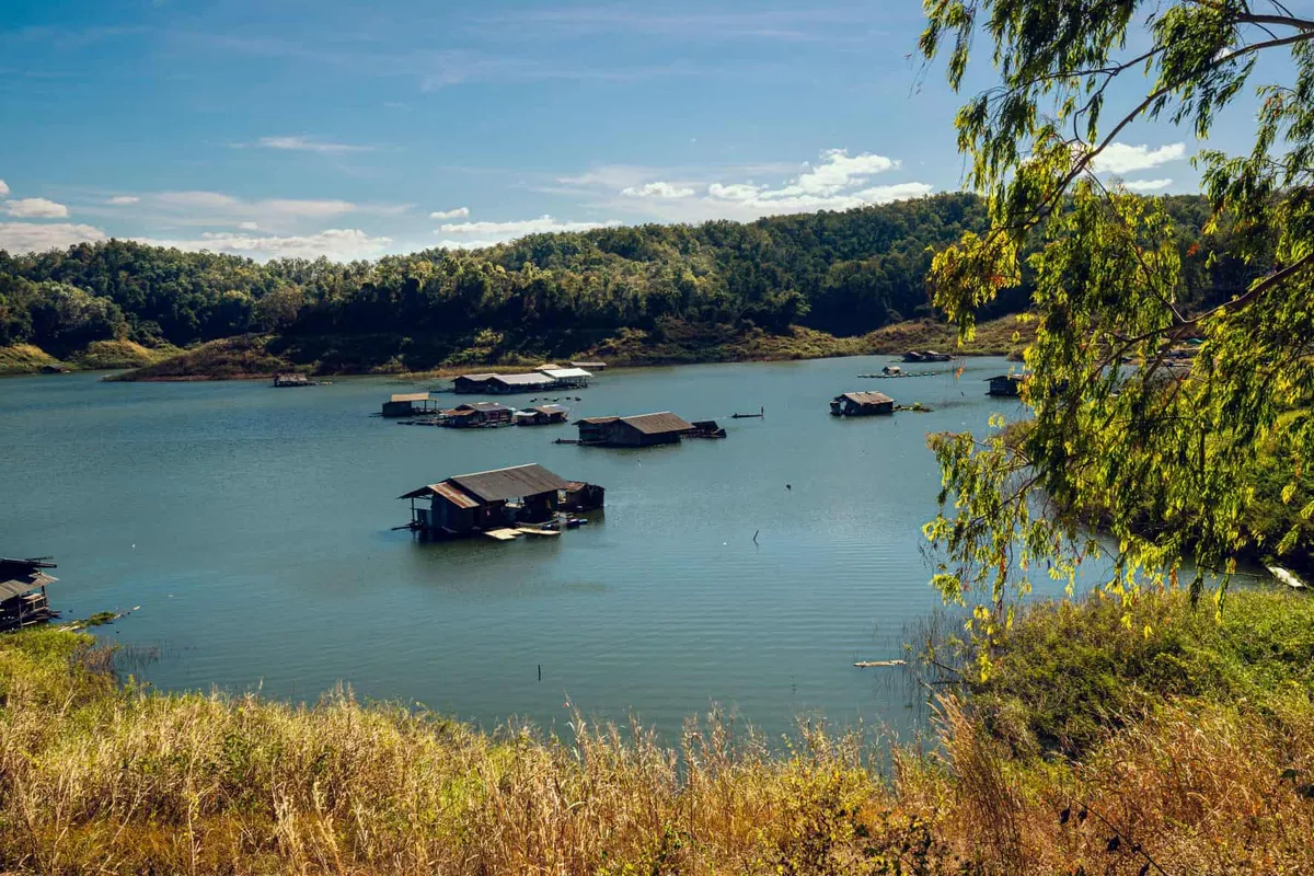
Thailand's largest earth-fill dam, backing up the Nan River into a vast reservoir with forested hills on three sides. Best in the cool season when the water is high and the mist sits on the hills.

Phu Soi Dao National Park
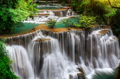
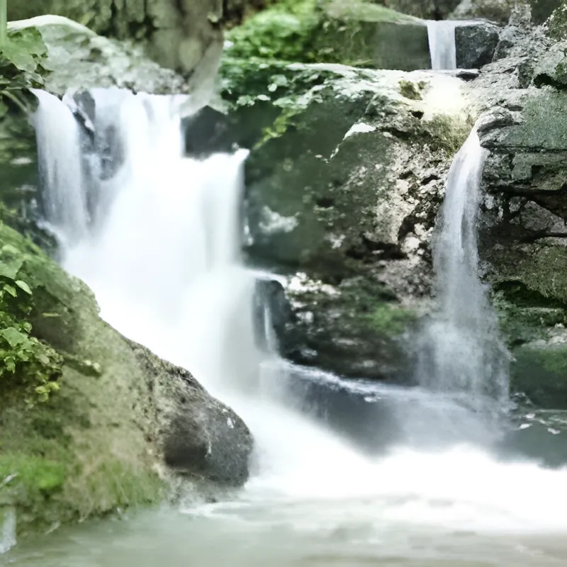
A highland park on the Laos border with a waterfall that freezes in cold years — unusual enough that it draws Thai visitors from across the north. The summit trail is for fit hikers only.

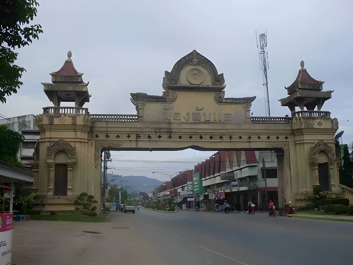
Laplae Town Gateway Arch
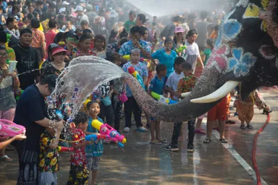
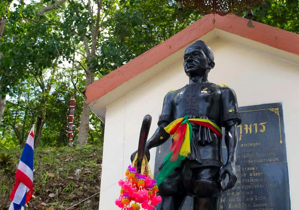
The remaining section of the old walled town of Pichai — a reminder that this quiet district was once a key defensive position on the northern frontier. The warrior-general Phraya Phichai, who fought on with a broken sword against the Burmese, is celebrated here each year.
Get to Uttaradit
The train from Bangkok's Hua Lamphong to Uttaradit takes around 7–8 hours — one of the quieter stops on the northern line, making it easy to combine with Phitsanulok or Phrae.

eSIM for Thailand
Land with data already working and skip the airport SIM queue. We tested six plans — code THAIHOLIDAY saves 10%.

Travel insurance
Hiking to Phu Soi Dao and riding mountain roads — sort cover before you go and check trekking and motorbike riding are included.
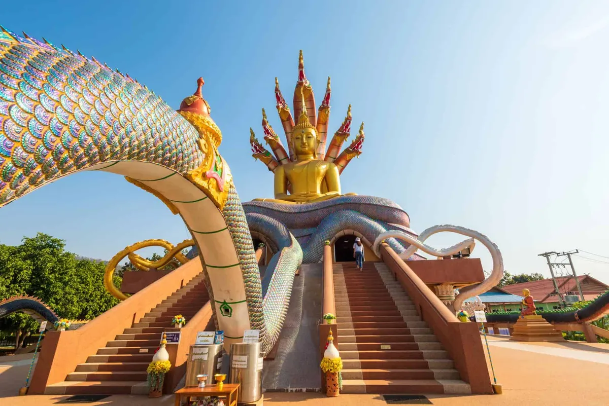
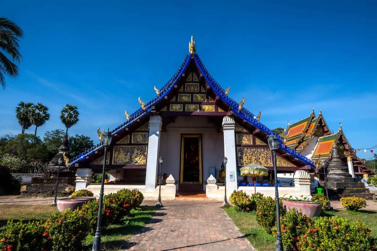
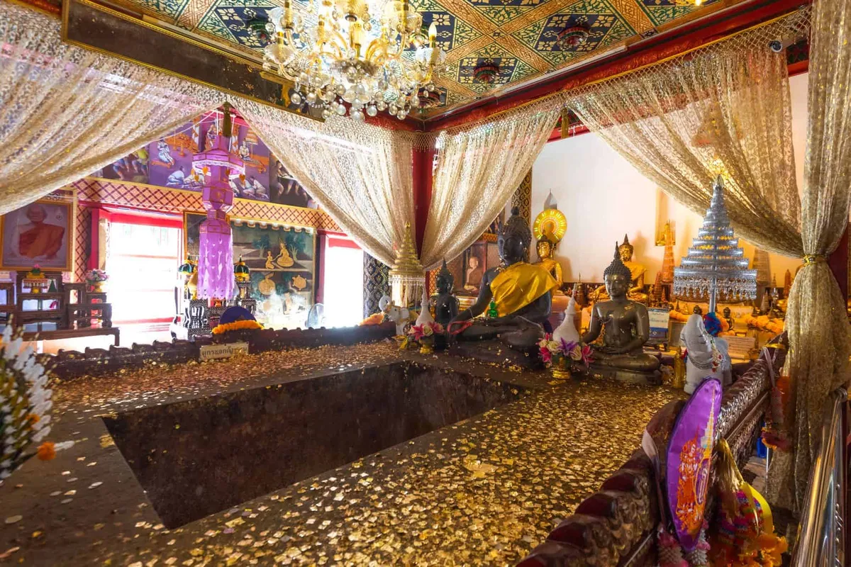
Wats, shrines & spiritual sites
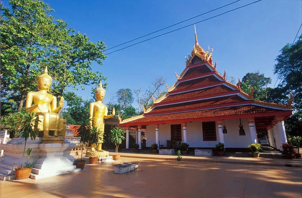
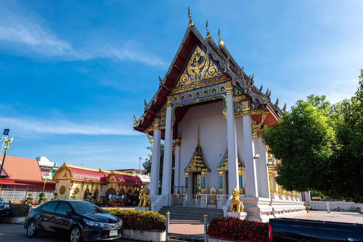
Temples in Uttaradit


Waterfalls, peaks, caves & parks
Nature & outdoors around Uttaradit


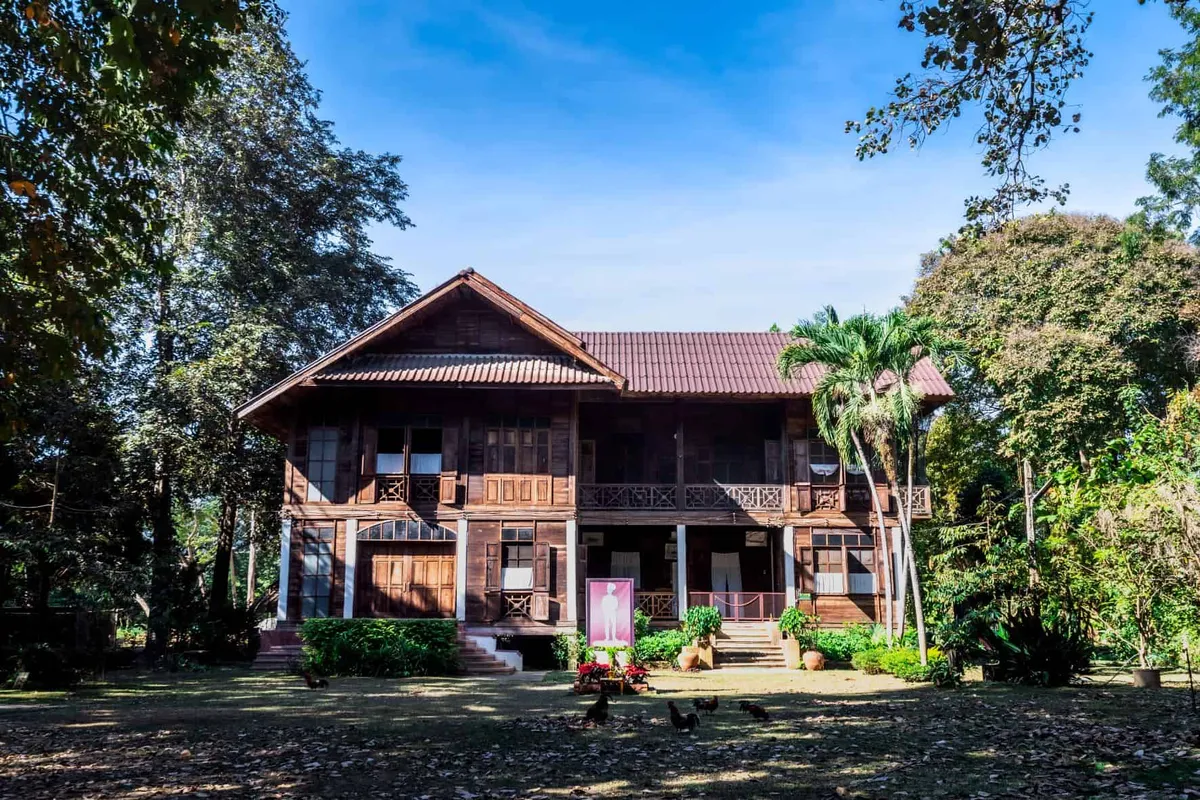
Museums, history & heritage
Museums & culture in Uttaradit


Things to do on the map
Tap a pin for details — 34 places in Uttaradit plotted.
When to go
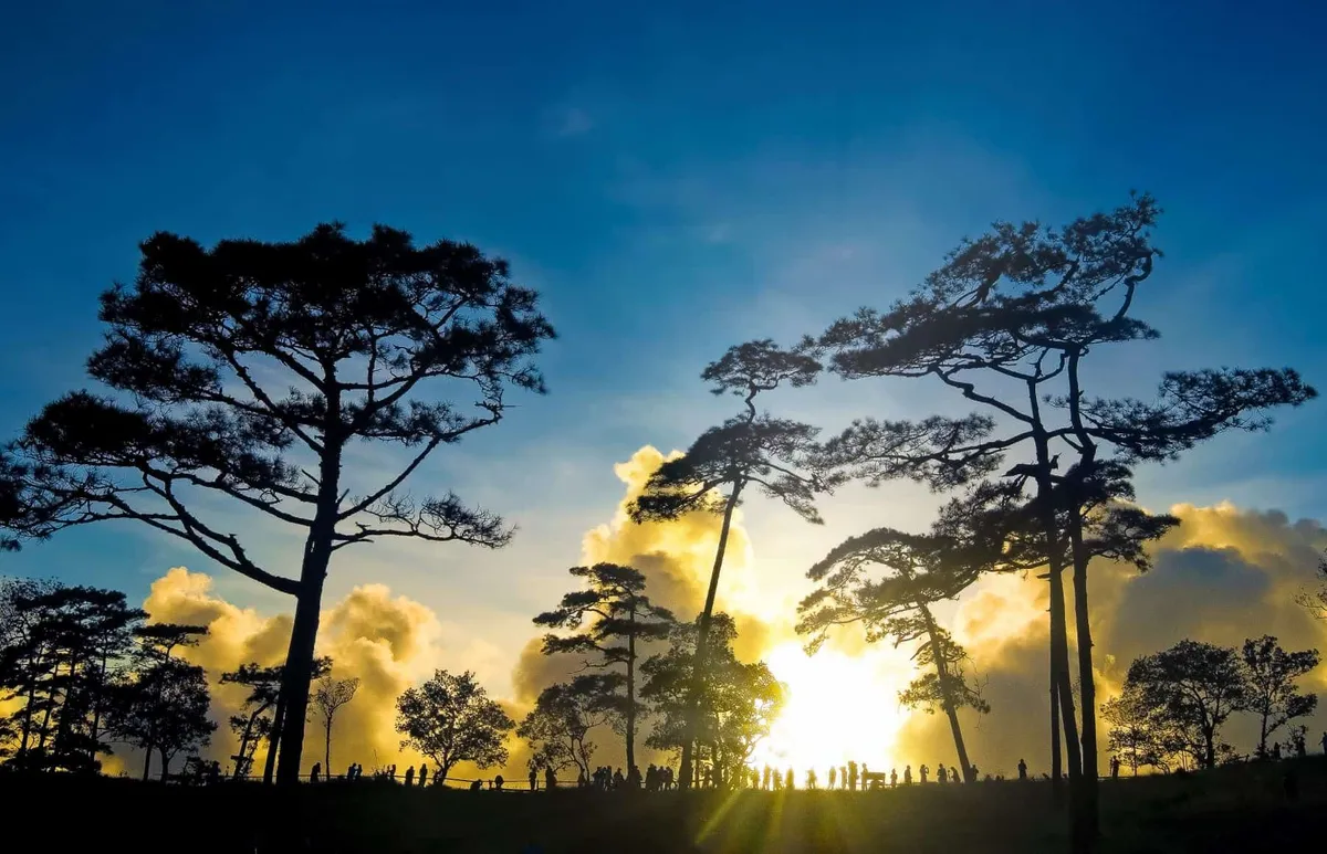
Nov–Jan The cool dry season is the best time for the province — comfortable temperatures for hiking at Phu Soi Dao and Klong Tron, clear reservoir views at Sirikit Dam, and durian and langsat orchards are active from June but the cool-season light suits the landscape best.
Feb–Apr Burning season affects the lower north, including Uttaradit. Haze from agricultural and forest burning can push PM2.5 into unhealthy ranges from February through April, with March the worst month. Outdoor activities and mountain visits are better postponed until after the rains begin.
May–Oct The monsoon runs May through October with September the wettest month. Sirikit Dam and Phu Soi Dao waterfall are at their most dramatic after heavy rain, but mountain trails can be slippery — check conditions before hiking.
About Uttaradit
Last updated July 2026
Overview
Uttaradit sits on the Nan River about 490 kilometres north of Bangkok, roughly halfway between Phitsanulok and Phrae. Its name means ‘port of the north’ — a reference to its former role as a river trading post, before the northern railway arrived in the early 20th century. Today the province is quiet by comparison with its better-known neighbours, which is part of its appeal: the landscapes are large, the attractions are genuine, and the visitor numbers are low.
The province has three claims that are hard to match anywhere else in Thailand. The Queen Sirikit Dam on the Nan River is Thailand’s largest earth-fill dam — completed in 1972 and still generating 500 MW of hydroelectric power — and its 259 km² reservoir is the province’s defining geographical feature. Ton Sak Yai National Park protects what is considered the world’s largest teak tree, a 1,500-year-old giant measuring nearly 10 metres in circumference. And Phu Soi Dao, rising to 2,120 metres on the Laos border, is one of the least-visited high-altitude national parks in the lower north.
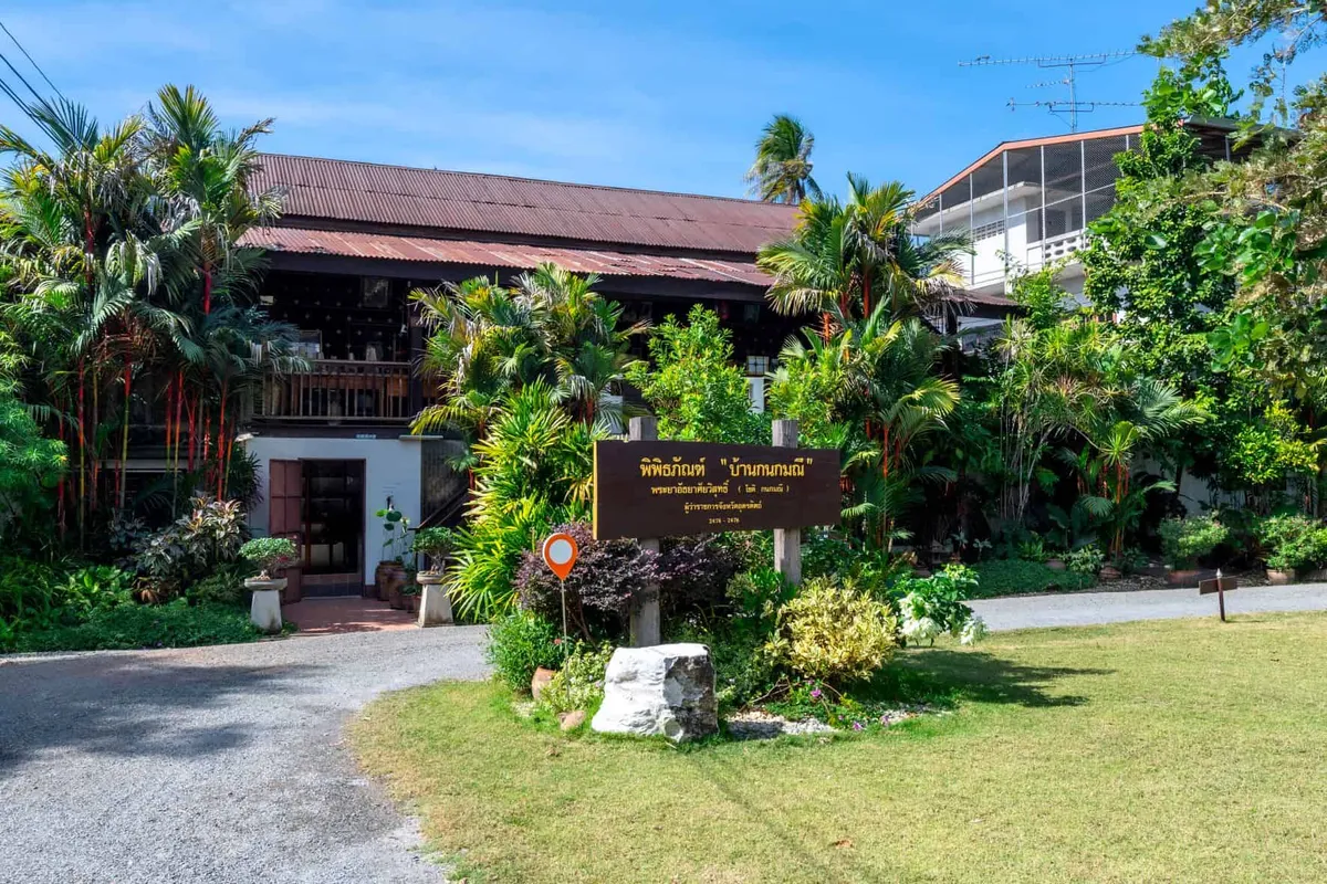
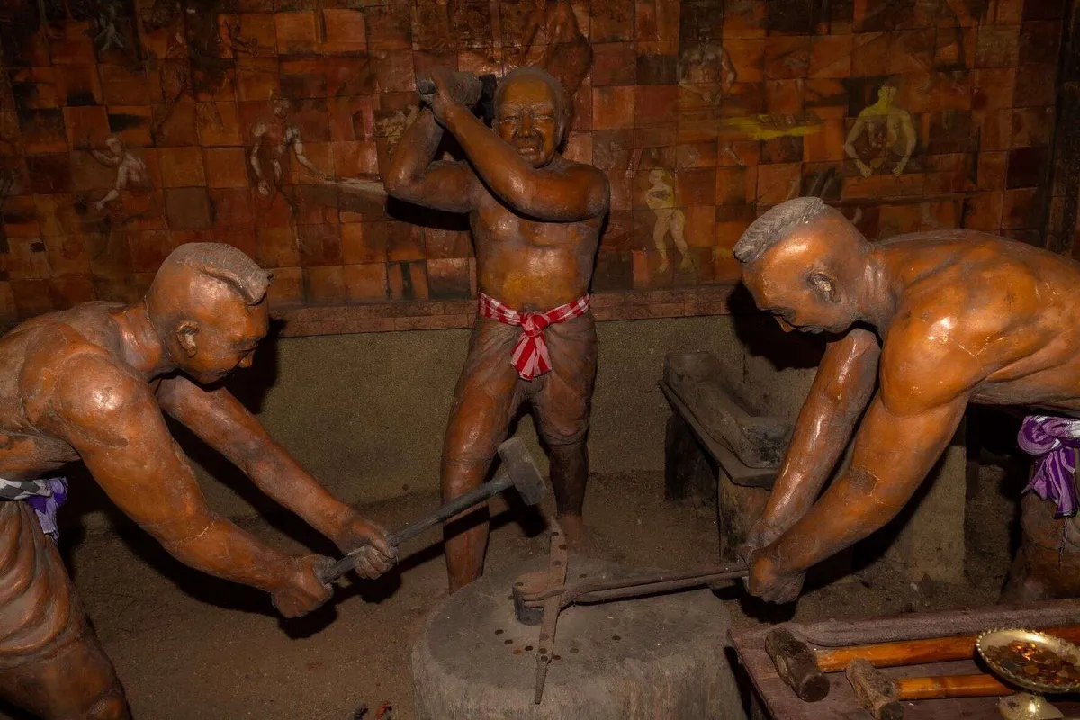
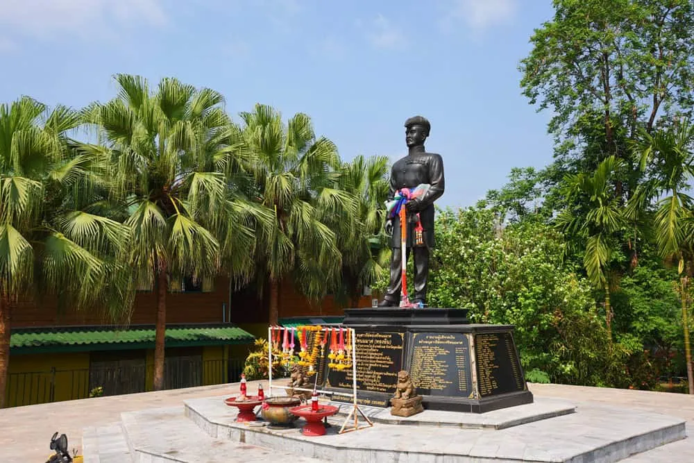
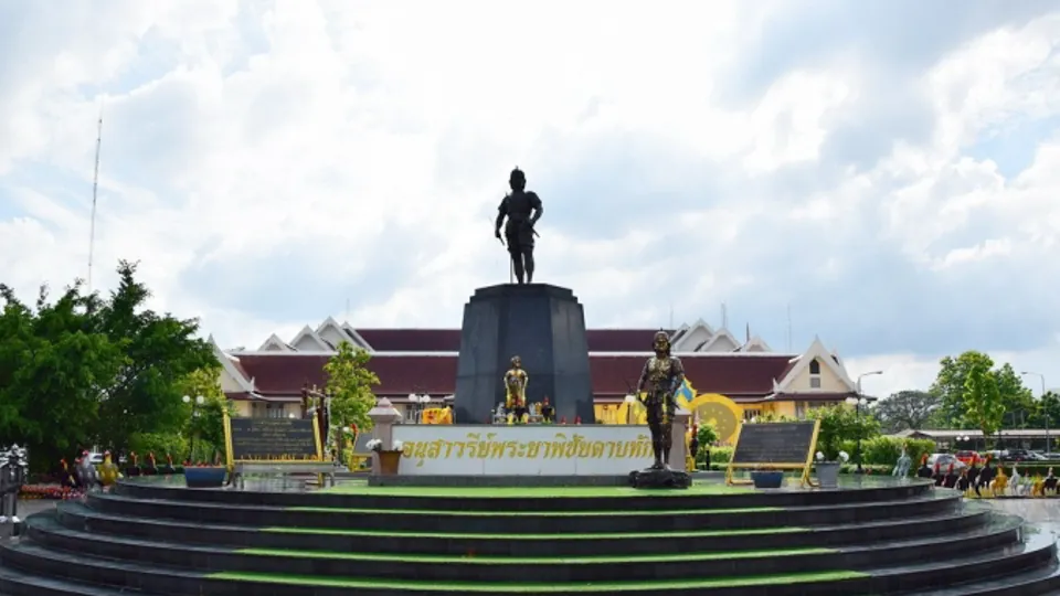
The town itself is defined by its relationship with Phraya Phichai Dap Hak, the ‘Broken Sword General’ of the Thonburi Kingdom. His story — a Uttaradit man who rose to become one of King Taksin’s most formidable commanders, then chose death over serving the Chakri dynasty — is central to the province’s identity. The memorial and museum dedicated to him are serious and well-curated.
To the west, Laplae district has its own distinct character: a walled town with a name that translates as ‘hidden from sight’, orchards of the prized Long Laplae durian variety, and langsat fruit for which the province is famous across Thailand.
Top Things to Do
Sirikit Dam and Reservoir is the scale sight of the province. The dam itself — 800 metres long, completed 1972, renamed after Queen Sirikit with royal consent — holds back a reservoir that stretches 250 square kilometres through the Nan River valley. The viewpoints above the dam structure give a strong sense of the engineering scale. Boat trips on the reservoir are available from the visitor area; the forested hills on the far bank are part of the watershed conservation zone. The hydroelectric station, with four 125 MW turbines, is one of Thailand’s principal power sources.
Ton Sak Yai National Park and the Giant Teak is the kind of sight that justifies a detour. The ancient teak at the centre of the park is estimated at around 1,500 years old, measures about 10 metres in circumference at breast height (official measurements range from 9.85m in 1982 to about 10.2m today), and stands around 37–39 metres tall (a storm in 1977 broke the top section; the original height was closer to 48 metres). It is widely considered the largest teak tree in the world. The Forestry Department has been documenting its measurements since the 1950s. The park is in Nam Pat district — allow most of a day to drive there and back from the city.
Phu Soi Dao National Park covers the high country on the Laos border in Nam Pat and Ban Khok districts. The summit of Phu Soi Dao reaches 2,120 metres — one of the higher peaks in the lower north — with a 160-hectare alpine plateau at the top. A five-tiered waterfall on the slopes is the most visited feature for day visitors who don’t attempt the summit trail. In the cool season, the flower fields at 1,630 metres produce blooms of the ‘Crested Naga’ flower that photographers make specific trips for. The park was gazetted in 2008 and sees far fewer visitors than Doi Inthanon or Doi Suthep.
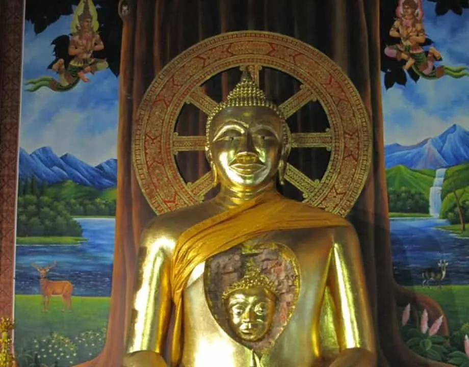
Phraya Phichai Dap Hak Memorial and Museum stands at the centre of Uttaradit town. The memorial — a statue of the general in fighting stance, holding his broken sword — is a serious piece of public history rather than tourist infrastructure. The adjacent museum covers his life: born in Uttaradit in 1741, he joined Phraya Taksin’s forces after the Burmese sacked Ayutthaya in 1767, rising to become one of the two commanders (alongside Chao Phraya Chakri, later Rama I) who were called Taksin’s left and right hands. His refusal to serve the Chakri dynasty after Taksin’s execution in 1782 — requesting his own death to follow his king — is the story that Uttaradit holds onto.
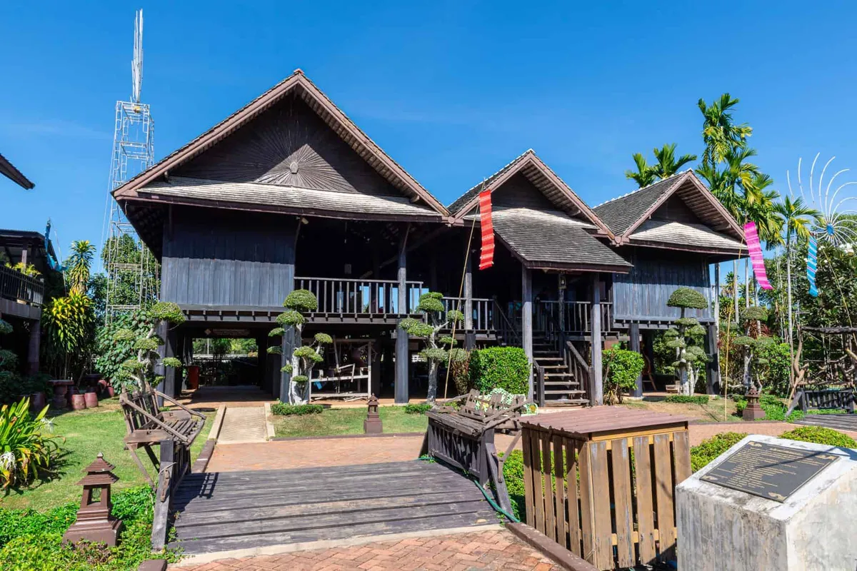
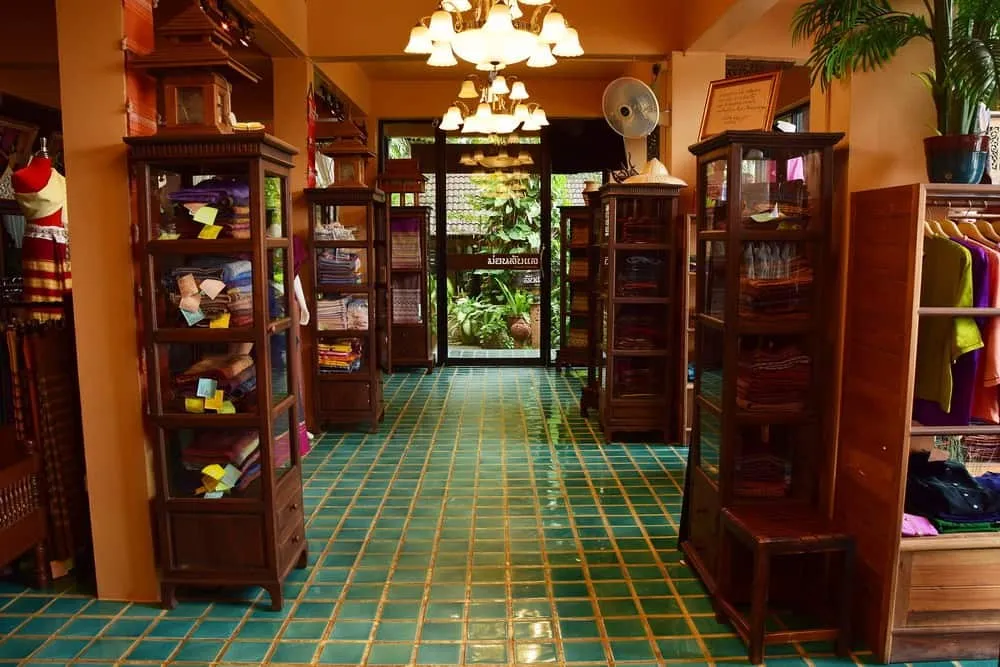
Laplae District is a half-day excursion from the city. The walled old town of Muang Laplae — ‘laplae’ meaning ‘hidden from sight’ in Thai — has an intact city gate and a local museum covering the history of this formerly secretive community. The orchards surrounding it produce Long Laplae and Lin Laplae durian varieties, prized in the north for their sweetness and distinctive character. Langsat, the province’s signature fruit, grows in abundance here — thin-skinned clusters with a mild, slightly acidic flavour unlike the better-known longan. The fruit season runs roughly June through August.
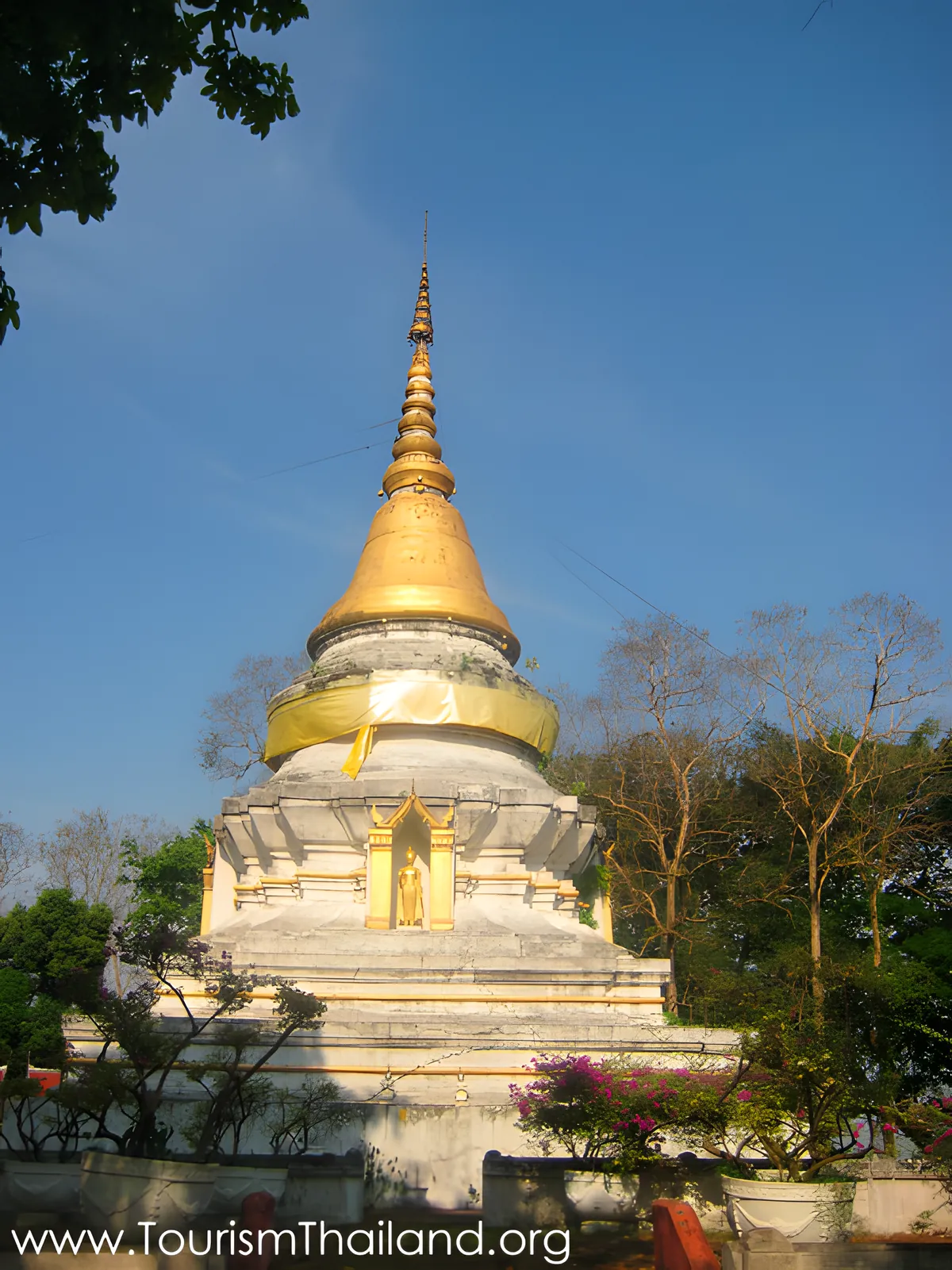
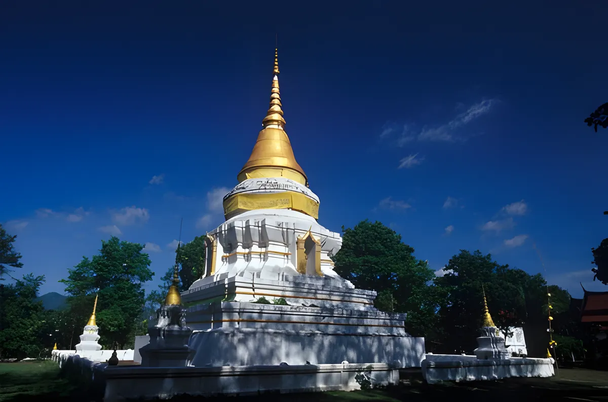
Wat Phra Borommathat Thung Yang sits on the Uttaradit–Laplae road in the Laplae area. The Sri Lankan-style chedi dates to the late Sukhothai period, around the reign of King Maha Thammaracha I in the 14th century, and is said to enshrine relics of the Buddha brought here before the establishment of Sukhothai. The Lanna-style vihara in front and the four corner chedis give the compound an unhurried, layered quality that distinguishes it from more heavily restored sites. Princess Sirindhorn restored the golden spire in recent years.
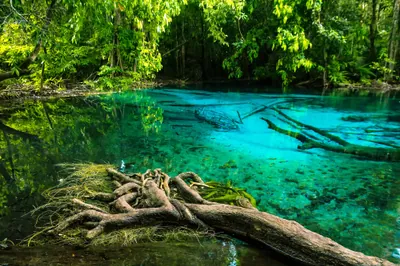
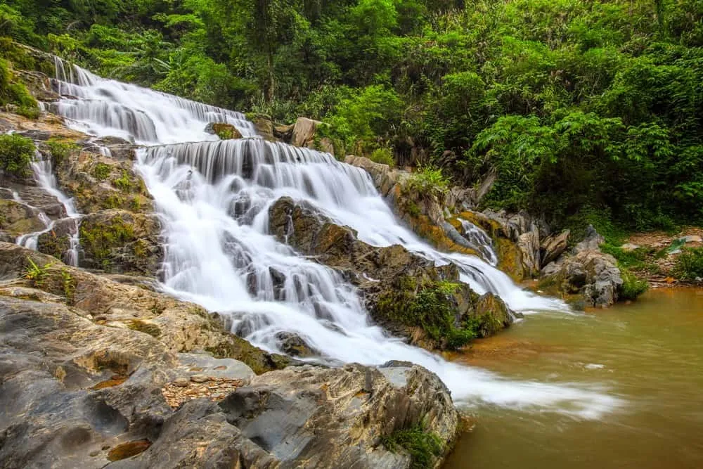
Klong Tron and Lamnam Nan National Parks extend across the western and northern portions of the province, protecting Nan River watershed forest. Klong Tron is more accessible for day hiking; Lamnam Nan borders the Nan River itself and offers a quieter alternative to the more famous parks further north.
Where to Stay
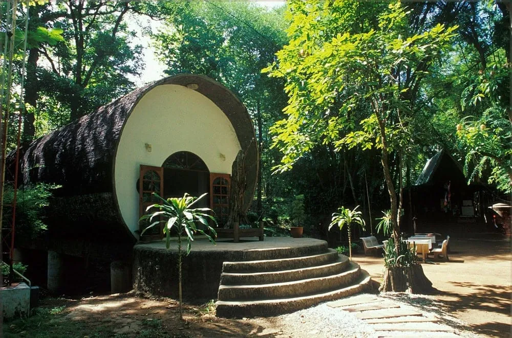
Uttaradit city has a functional range of local hotels and smaller guesthouses — enough for a comfortable two or three nights without any pretension to resort facilities. Budget and mid-range options dominate; the town is not set up for luxury tourism. A few properties in the ฿600–1,500 range offer clean rooms with air conditioning, reliable wifi, and the kind of local knowledge a guesthouse owner can provide.
There is no resort infrastructure around Sirikit Dam or in Laplae district — this is a province where you stay in town and drive out to the sights. For Phu Soi Dao National Park, park bungalows and camping are available in the cool season, but booking ahead through the national parks system is necessary.
Getting There
The northern railway line from Krung Thep Aphiwat Central Terminal in Bangkok stops at Uttaradit station — the scheduled journey takes 6 to 8 hours depending on the service, making an overnight sleeper the sensible option for the ~490 km route. Sila At, the next station north of Uttaradit, serves the northern part of the province. By car, Highway 11 connects Uttaradit to Phitsanulok (about 100 km south) and to Phrae and Den Chai to the north. There is no commercial airport serving Uttaradit; Phitsanulok Airport is the nearest, with daily flights from Bangkok (around one hour) and road connections of about 90 minutes to the city.
Within the province, a hire car or motorbike is essential. Sirikit Dam is 45 km north of town, Ton Sak Yai is in Nam Pat district to the north, and Phu Soi Dao sits near the Laos border — none of these have public transport connections.
Best Time to Visit
November through January is the best window. Temperatures are comfortable for hiking and sightseeing, the reservoir sits at good levels from the wet season just passed, and the mountain parks are accessible. December and January in particular offer the clearest skies and the best conditions for Phu Soi Dao’s summit trail.
February through April is the burning season across the lower north. Uttaradit sits in this smoke belt — PM2.5 levels regularly reach unhealthy ranges from February, with March the worst month. This doesn’t close the province, but visibility is reduced and outdoor activities carry a health caveat, particularly for anyone with respiratory sensitivities.
The wet season runs May through October. Sirikit Dam’s reservoir and the waterfalls in Phu Soi Dao are at their most dramatic after the monsoon rains, but mountain trails become slippery and some roads into the parks may close in heavy years. The fruit season for Laplae durian and langsat falls in June through August — if fruit is the reason for visiting, the wet season is the right time.
Frequently Asked Questions about Uttaradit
How do I get to Uttaradit from Bangkok?
What is the best time of year to visit Uttaradit?
How long do you need in Uttaradit?
How do I get around Uttaradit province?
What is Phraya Phichai Dap Hak known for?
Plan your
Uttaradit trip