Sirikit Dam is an earth-fill dam with a clay core on the Nan River in Tha Pla district, Uttaradit — 113.6 metres high and roughly 800 metres long, holding back Thailand’s third-largest reservoir after the Srinakarin and Bhumibol dams, with a maximum storage capacity of 9,510 million cubic metres. The dam grounds and EGAT’s Sumalai Park are free to enter.
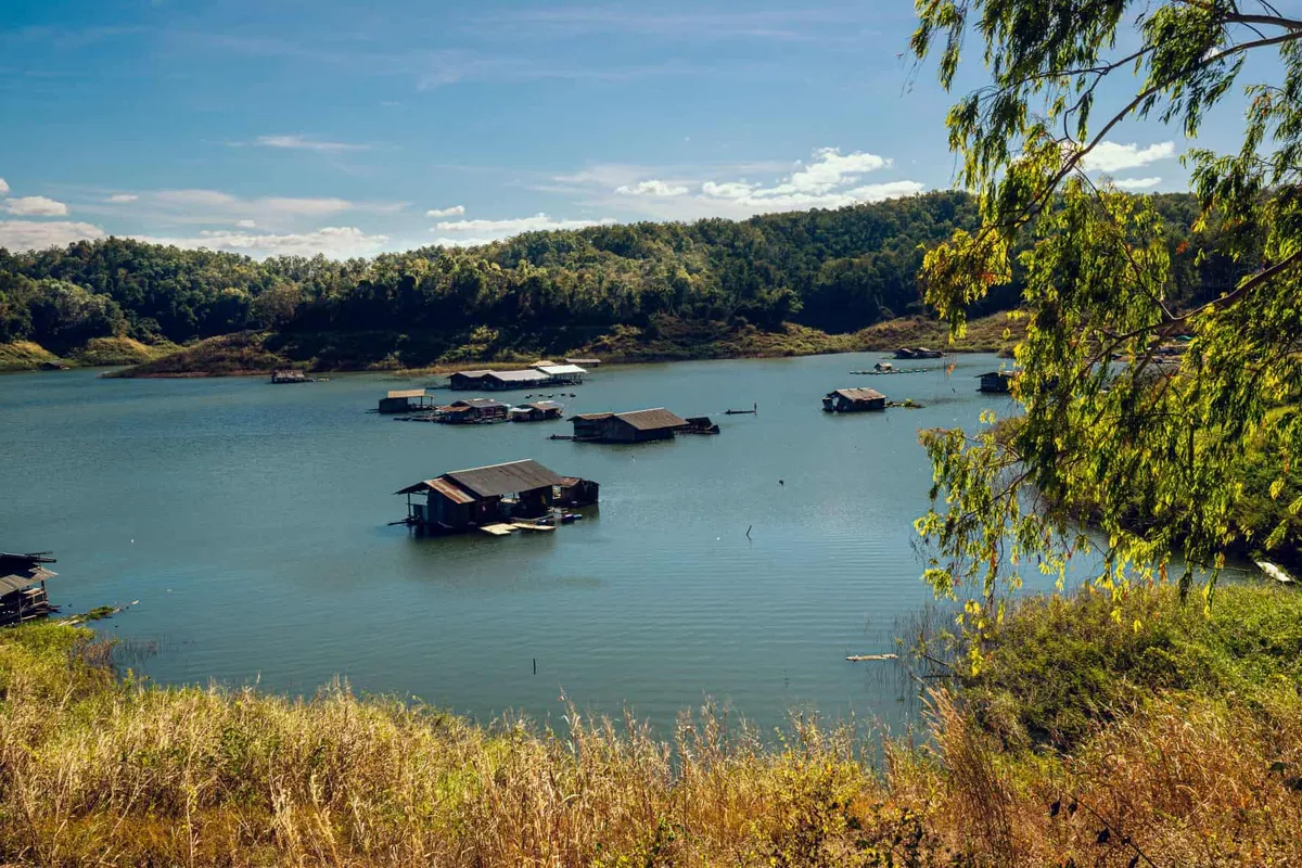
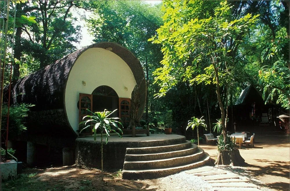
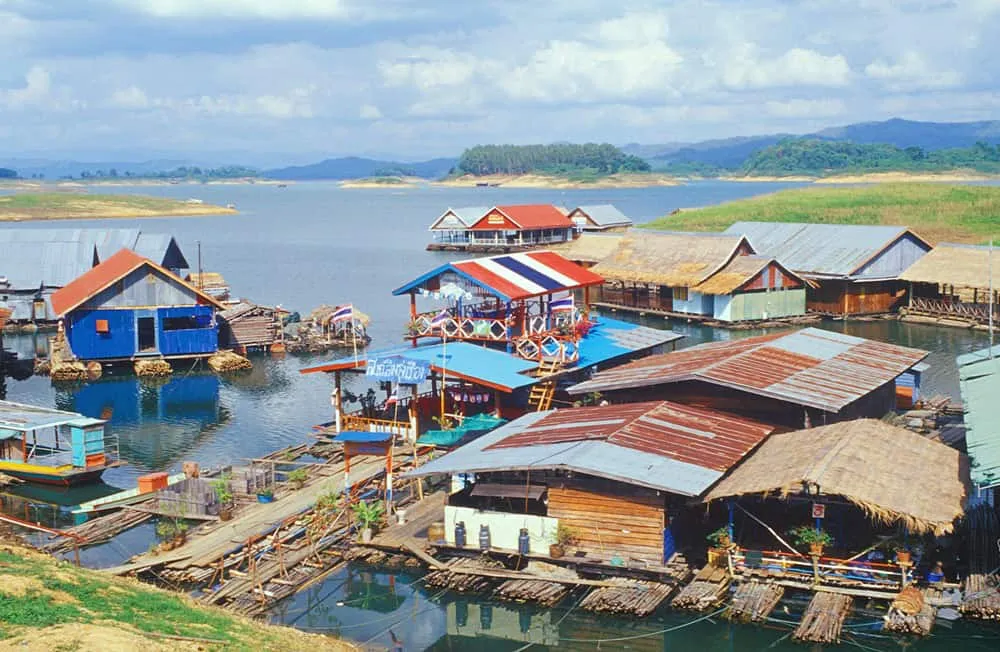
Sumalai Park, built by the Electricity Generating Authority of Thailand beside the dam for Queen Sirikit’s 50th birthday, is the main stop for casual visitors: a mix of garden beds, lotus ponds, an herb garden, a health plaza, and a multi-purpose lawn, centred on a sculpture called “Sculpture Towards the Light.” A short walk away, the Chalermprakiat Bridge — built in 2004 for the Queen’s 72nd birthday and formally named the Chalermprakiat Queen Sirikit Bridge — carries a royal message plaque and her cypher across the water. Up on the dam crest, the reservoir opens out into a genuine inland sea, with fishing families living on rafts moored along the shore and a handful of restaurants serving what they catch.
The dam crest view is at its best in the cool season (November-February), when the sky stays clear and water levels are typically high after the rainy months. Late afternoon is the strongest time to be up there — the light flattens out over the reservoir and the raft communities below become visible as the haze drops. Weekends draw day-trippers from Uttaradit town, but the site rarely feels crowded outside Thai public holidays.
Sirikit Dam is EGAT-managed rather than a standard tourist site, so signage and posted hours are limited — the phone line (055 461 136) is the most reliable way to check access before a specific visit, especially outside the cool season. The same Tha Pla stretch of Uttaradit also holds Skywalk at Huai Nam Ri and Lamnam Nan National Park, both worth combining with a dam visit.
Insider Tip: Time a visit for late afternoon — the dam crest catches the light over the reservoir, and the raft-house restaurants serving freshwater fish are busiest (and liveliest) right before dusk.
Watch out: Opening hours aren’t consistently posted online and the site is EGAT-managed, not a standard park — call ahead if you’re planning to arrive at a specific time.
- Height / length: 113.6 metres high, around 800 metres long, 12 metres wide at the crest
- Reservoir: 9,510 million m³ maximum capacity — Thailand’s third-largest, after Srinakarin and Bhumibol dams
- Entry: Free, dam grounds and Sumalai Park
- On site: Sumalai Park, Chalermprakiat Bridge, raft-house fishing villages, lakeside restaurants
- Location: Tha Pla district, Uttaradit, on the Nan River
Location & Directions
40 Mu 10
Uttaradit, Thailand
Show your taxi or Grab driver
เขื่อนสิริกิติ์
Frequently Asked Questions
Is Sirikit Dam free to visit?
How big is Sirikit Dam?
What is Sumalai Park?
Can you eat near the dam?
What is the Chalermprakiat Bridge?
Spotted something out of date or incorrect? Let us know
Stay Near Sirikit Dam
Compare places to stay in Uttaradit, or open the map for options closest to the attraction.