Ban Mani Phruek Security Development Project
โครงการพัฒนาเพื่อความมั่นคง (พมพ.) บ้านมณีพฤกษ์
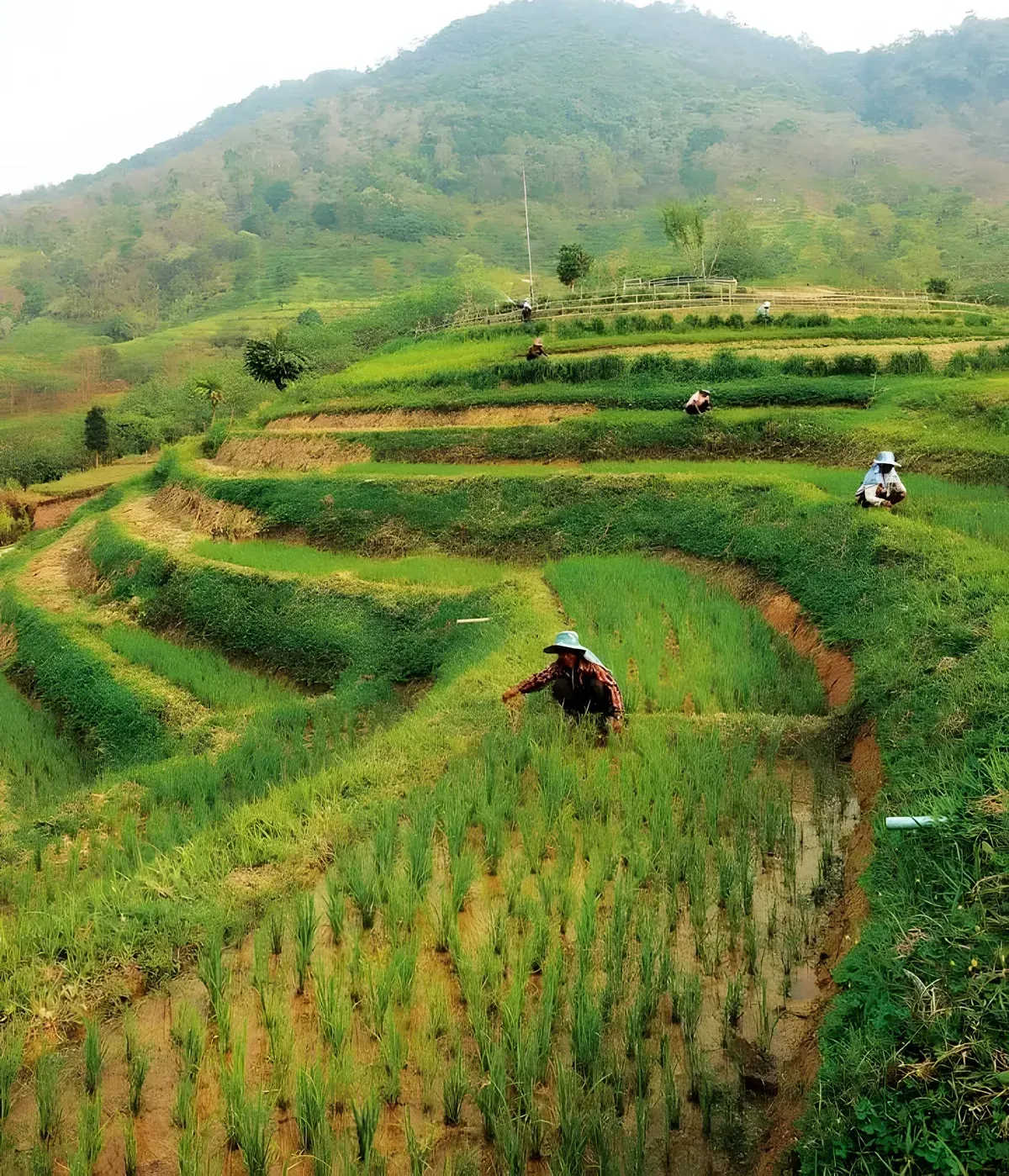
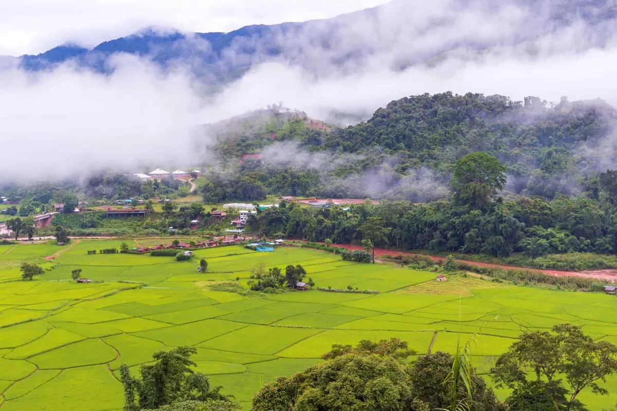
Ban Mani Phruek is a hill-tribe community, not a single farm you walk through: three villages of mostly Hmong families, with some Lawa households, set on a ridge near the Nan River basin close to the Laos border. The government began developing the area in 1984 under a royal-sponsored security and development scheme, encouraging residents to grow cold-climate crops as an alternative to less sustainable land use. Strawberries and lychees were the early experiments; Arabica coffee is what stuck, and it’s now the village’s main cash crop, grown across several varieties and roasted locally into three different profiles.
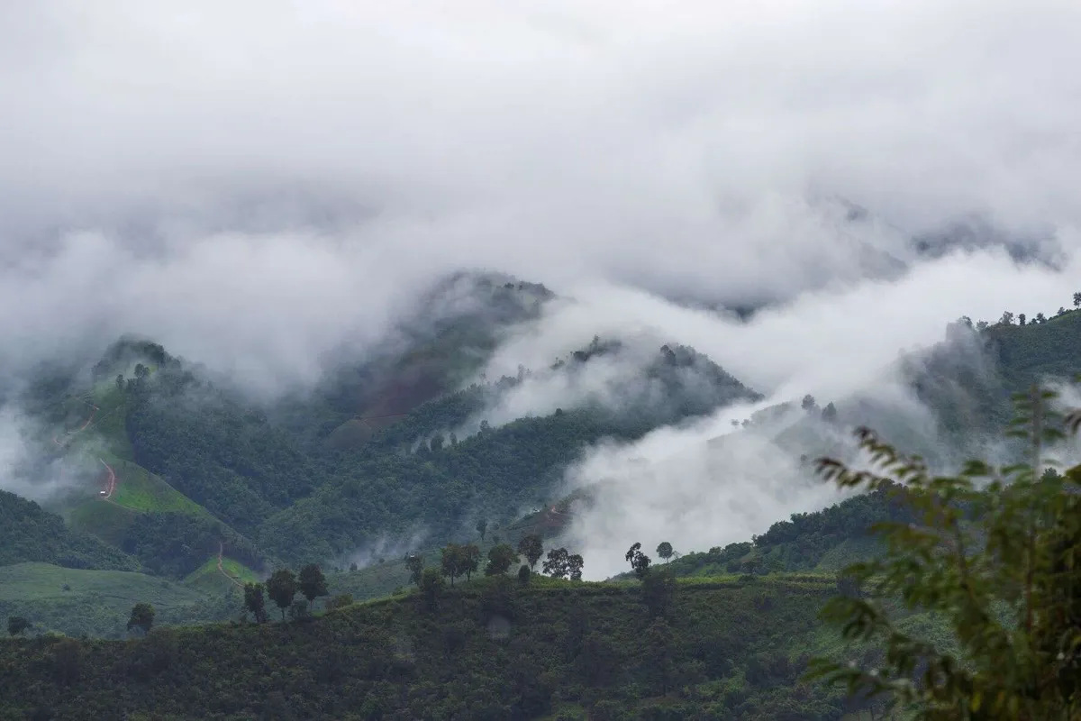
The reason most visitors make the drive is Doi Pha Phueng, a limestone peak reachable by a roughly 20-minute hike from the village, known for sweeping sunrise and sunset views across the surrounding hills. In the cool season, the slopes near the peak carry a scattering of wild Himalayan cherry (Prunus cerasoides), a tree more associated with higher-altitude spots like Doi Ang Khang, and a genuine surprise to find blooming this far into Nan’s back country. For a bigger display, Khun Sathan National Park, elsewhere in Nan, is the province’s best-known wild cherry spot from December to February. Pha Phueng Cave adds a second stop nearby, and a limestone formation locally known as the “Red Cliff” is pointed out as a former hideout used during the communist insurgency era, though little remains beyond the cave itself and the story attached to it.
Getting here is part of the experience, for better or worse. From Nan town, the route runs via Highway 1080 to Highway 1291, then roughly 22.5 km of increasingly rough, switchback road toward Ban Pang Kaew. A 4WD or high-clearance vehicle is strongly recommended, and the last stretch turns genuinely difficult after rain. There’s no public transport option; this is a self-drive or organised-tour destination only.
Accommodation on site is limited to homestays and a handful of hilltop bungalows, running around 400-450 THB per night including two meals. Book ahead, since the cool season (roughly November to February) draws both cherry-blossom chasers and coffee buyers, and rooms fill fast. Entry to the village itself is free.
Insider Tip: Ask at a homestay about buying coffee directly from the household that roasted it. Prices are lower than in Nan town, and you’ll usually get a better story about which slope the beans came from.
Watch out: mobile signal is patchy to nonexistent once you’re off Highway 1291, so download offline maps before you leave Thung Chang, and fill up on fuel. There’s no station in the village itself.
- Entry fee: Free
- Access: Highway 1080 → 1291 → ~22.5 km rough road toward Ban Pang Kaew; 4WD recommended
- Main draw: Doi Pha Phueng viewpoint (~20-minute hike) for sunrise/sunset and cool-season cherry blossom
- Community: Hmong and Lawa hill-tribe villages, developed since 1984, now centred on Arabica coffee
- Stay: Homestays/bungalows ~400-450 THB/night including two meals; book ahead in cool season
For other royal-development and hill-tribe stops in the province, see the Royal Project Phu Phayak and the Phu Fa Development Centre, both accessible from Nan town.
Location & Directions
Ban Mani Phruek, Ngop, Thung Chang District, Nan 55130
Nan, Thailand
Show your taxi or Grab driver
โครงการพัฒนาเพื่อความมั่นคง (พมพ.) บ้านมณีพฤกษ์
Frequently Asked Questions
What is the Ban Mani Phruek Security Development Project?
Is Ban Mani Phruek a coffee farm you can visit?
What's the main reason people visit?
Do you need a 4x4 to get there?
Can you stay overnight?
Spotted something out of date or incorrect? Let us know
Stay Near Ban Mani Phruek Security Development Project
Live prices for places closest to Ban Mani Phruek Security Development Project: tap a pin to compare.