The Royal Project Phu Phayak, Nan Province
สถานีพัฒนาการเกษตรที่สูงตามพระราชดำริภูพยัคฆ์
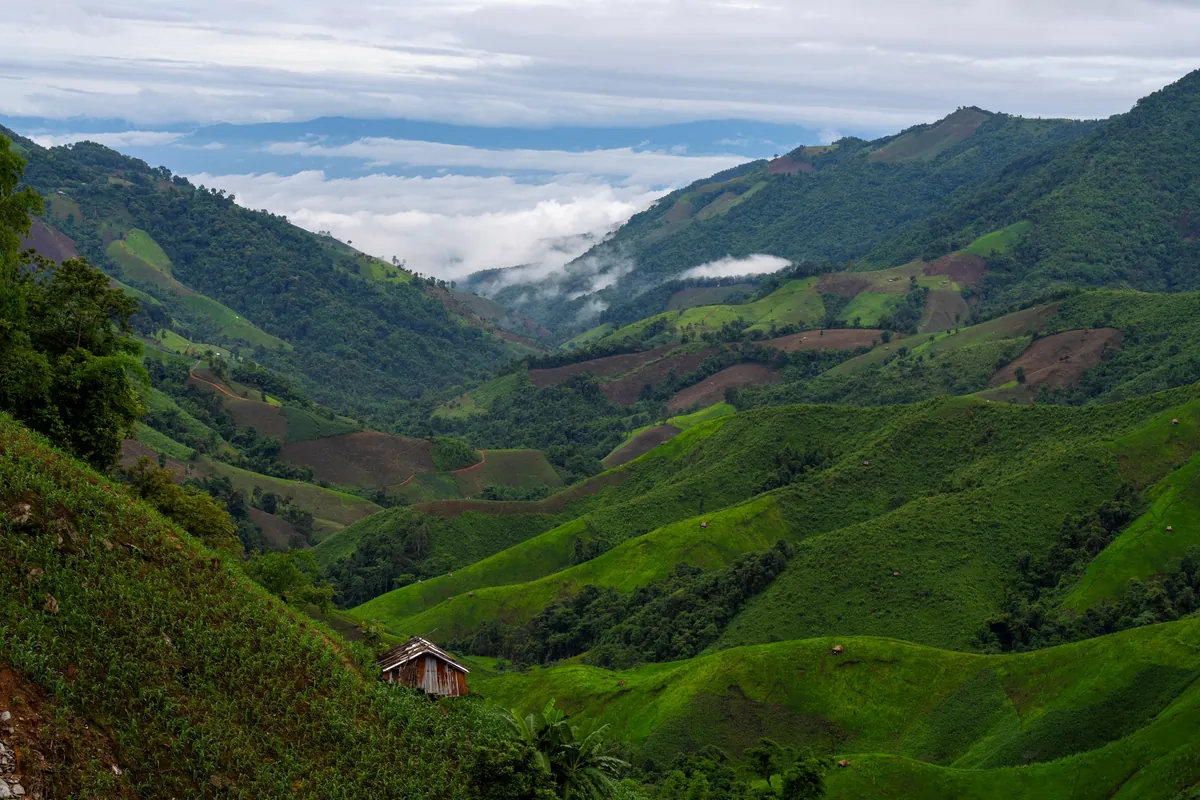
Phu Phayak sits at roughly 1,500 metres in Nan’s Chaloem Phra Kiat district, about 180km from Nan town via the Chaloem Phra Kiat route (230km if you come via Bo Kluea instead). It’s free to visit, open 06:00-18:00 daily, and the land itself has a harder history than the “royal project” label suggests: before 1980 this was opium-growing territory and a battlefield between Thai government forces and communist insurgents. The agricultural station was established afterward, under royal initiative, to give hill-tribe farmers here a legal livelihood and to bring the forest and watershed back after decades of conflict and clearing.
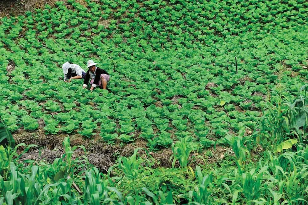
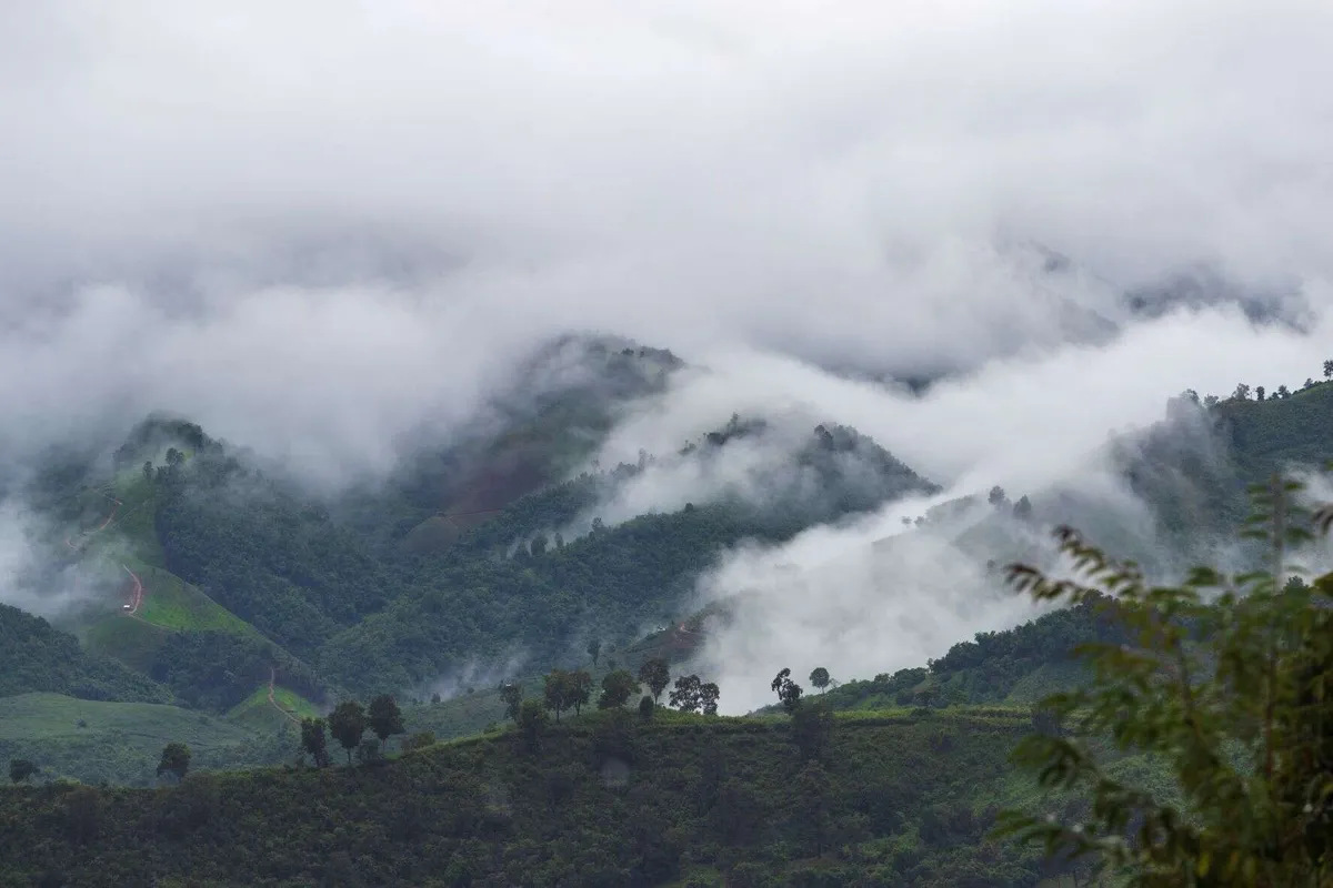
Mulberry is the crop most associated with the station today (it works with Princess Maha Chakri Sirindhorn’s Phu Fa development centre to support local growers) alongside other temperate vegetables and fruit that do well at this elevation but struggle in lowland Thailand’s heat. The terrain itself is the other draw: exposed rock faces and cliff edges gave the mountain its name (formerly Phu Pha Yak), and the station sits high enough that cloud regularly sits below the ridgeline in the early morning.
Insider Tip: Call the station before you set off (0 5473 0330) rather than just driving up. The last stretch of road is steep, unsurfaced in parts, and rough enough that the station itself recommends asking about a project vehicle for the final climb instead of pushing a standard rental car up it.
Watch out: This is a working agricultural station, not a resort with visitor infrastructure: there’s no restaurant, so arrange meals with the station ahead of time, and don’t expect paved paths or signage in English throughout.
Two guesthouses (24 beds combined) and a campsite for about 20 tents mean you can stay over rather than trying to do the drive in a single day, which is worth it given how far this is from anywhere else. Cool season (November–February) brings the clearest mountain views and the coldest nights. Pack warm layers, since temperatures at 1,500m drop well below what’s normal for Thailand after dark.
- Entry fee: Free
- Hours: Daily 06:00-18:00
- Distance from Nan town: ~180km via Chaloem Phra Kiat, ~230km via Bo Kluea
- Elevation: ~1,500m
- Stay options: 2 guesthouses (24 beds) + camping for ~20 tents, meals by advance arrangement
See Nan for the wider province, or combine the trip with Doi Phu Kha National Park and Khun Nan National Park, both on the same highland loop of Nan’s mountain districts.
Location & Directions
Ban Nam Ri Phatthana, Mu 12, Khun Nan, Chaloem Phra Kiat, Nan
Nan, Thailand
Show your taxi or Grab driver
สถานีพัฒนาการเกษตรที่สูงตามพระราชดำริภูพยัคฆ์
Frequently Asked Questions
Is Phu Phayak free to visit?
How far is it from Nan town, and what's the road like?
What was this land used for before it became a royal project?
What do they grow there now?
Can I stay overnight?
Spotted something out of date or incorrect? Let us know
Stay Near The Royal Project Phu Phayak, Nan Province
Live prices for places closest to The Royal Project Phu Phayak, Nan Province: tap a pin to compare.