Pang Tong Palace
พระตำหนักปางตอง (ศูนย์บริการและพัฒนาที่สูงปางตองตามพระราชดำริ)
Pang Tong Palace is a working royal farm you can walk into, not a palace you can walk through: the residence itself is closed to visitors, but the sheep meadow, wildlife breeding station and crop terraces around it are open daily, free, at 1,000 metres elevation in Mok Champae subdistrict above Ban Rak Thai. Established in 1980 as the second of the King’s highland development centres, it covers roughly 5,350 rai roughly 40 km north of Mae Hong Son town.
What you can (and can’t) see
Past the entrance gate stands Saan Maharat, a small shrine holding a statue of King Chulalongkorn (Rama V), with a second, smaller shrine to the Wild Tiger Corps opposite it. The royal residence building itself is not open to the public (this is a working development project, not a house museum) but everything around it is. Soldiers stationed on the property are there because the royal family periodically visits to inspect the project’s work, not because tourist access is limited; walking around and photography are unrestricted.
The farm and the wildlife station
The sheep farm is the main stop for most visitors: a flock grazes an open meadow where you can walk in, feed the animals and watch demonstrations of shearing and hand-weaving the wool into scarves sold at the on-site shop. Further along, the wildlife breeding station houses species rarely seen up close anywhere in Thailand: clouded leopards, serow, barking deer, Siamese fireback pheasants, gibbons, Asian black bears and hornbills, kept across a dedicated conservation zone. Terraced plots elsewhere on the grounds grow temperate fruit and vegetables that don’t tolerate lowland heat, part of the same royal effort to give highland farmers an alternative to opium cultivation.
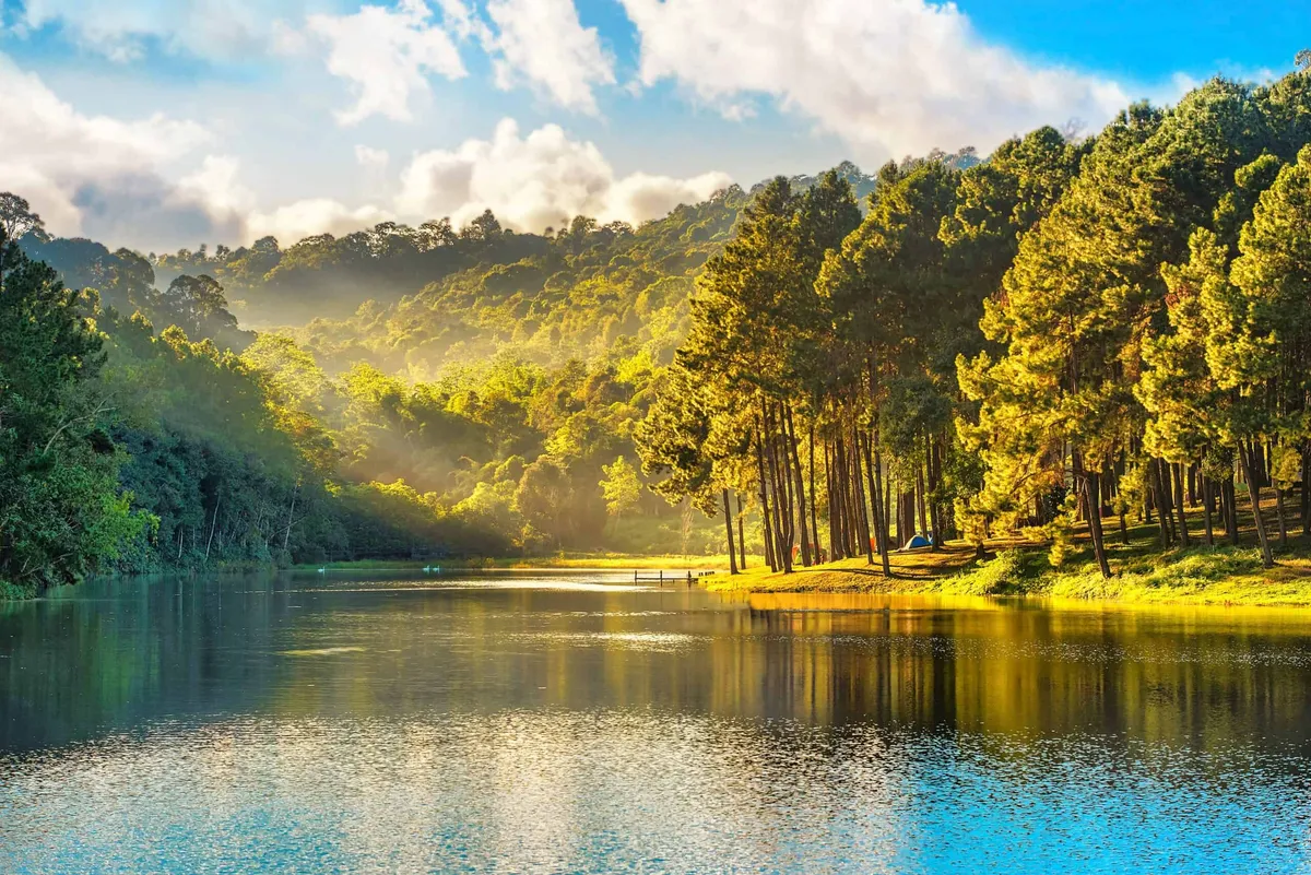
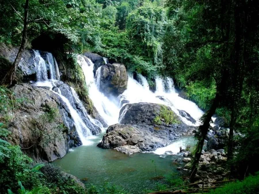
Insider Tip: Combine the visit with Namtok Pha Suea waterfall, about 2 km before the entrance, and Pang Ung’s pine-fringed lake, roughly 4 km further along the same mountain road. The three make a natural half-day loop from Mae Hong Son town.
Watch out: The final stretch of road climbing to Pang Tong is narrow, unlit and steep in places. Drive it in daylight and go slowly on a rented motorbike if the surface is wet.
Planning your visit and getting there
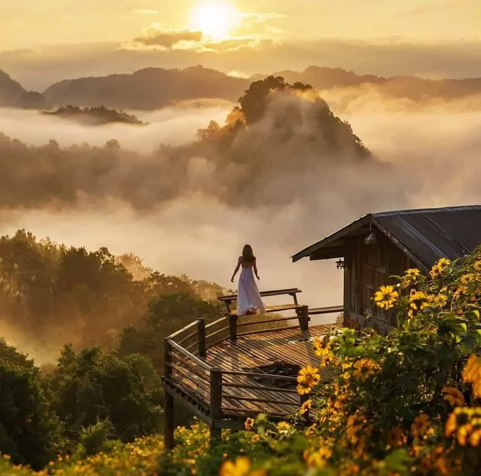
Mornings are quietest and coolest at this altitude; direct highland sun with little shade takes over the open meadow by midday. Mist regularly settles over the grassland at dawn between November and February, when overnight temperatures can drop close to freezing. Bring a jacket even if you’ve come from a warm lowland town. From Mae Hong Son town, it’s roughly a 1-hour drive north on Route 1095, with a signed turn into Mok Champae subdistrict at around the 40 km mark.
- Entry fee: Free
- Hours: Daily 08:30–16:30
- Elevation: 1,000m
- Getting there: ~40 km / 1 hour north of Mae Hong Son town via Route 1095
- Founded: 1980, as a royal highland development project
Pair it with Pang Ung for the lake and Namtok Pha Suea for the waterfall. Both sit on the same access road within a few kilometres.
Location & Directions
Mueang Mae Hong Son, Mae Hong Son
Ban Rak Thai, Thailand
Show your taxi or Grab driver
พระตำหนักปางตอง (ศูนย์บริการและพัฒนาที่สูงปางตองตามพระราชดำริ)
Frequently Asked Questions
Is Pang Tong Palace free to enter?
What is there to see and do at Pang Tong Palace?
How far is Pang Tong Palace from Mae Hong Son town?
Is Pang Tong Palace the same place as Pang Ung?
When was Pang Tong Palace established?
Spotted something out of date or incorrect? Let us know
Stay Near Pang Tong Palace
Live prices for places closest to Pang Tong Palace: tap a pin to compare.