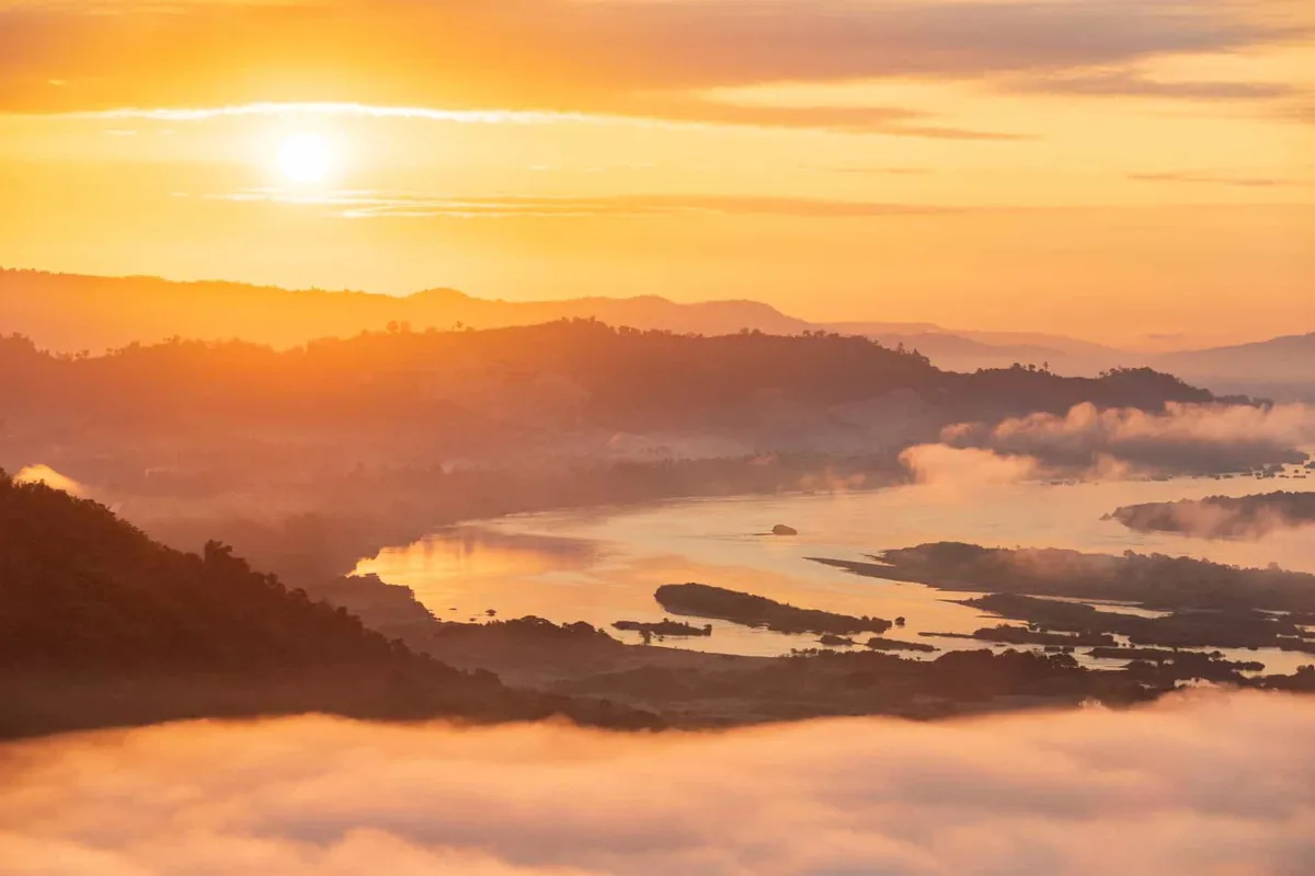
Phan Khot Saen Khrai is not a garden, despite what older listings claim — it’s a stretch of the Mekong riverbed near Ban Muang village in Sangkhom district, where rock islets and sandbars up to 300 metres wide and more than 5 km long break the surface once the river drops in the dry season. Locals nicknamed it the “Grand Canyon of Nong Khai” for the scale of exposed rock. There’s no entry fee, and no fixed opening hours — it’s simply visible from the riverbank whenever the water is low enough.
The name comes from “khrai,” a riverside tree that once grew in dense stands across these sandbars — “a thousand rock knolls, ten thousand khrai trees.” Today the formations stretch along the river opposite Laos, covering the stretch of Route 211 through Ban Nong, Ban Phukhao Thong, Ban Muang, and Ban Huai Kho. Boat operators at the Ban Muang pier run short trips out among the rock islets, weaving between channels that are impassable once the river rises. From the bank, the rock shapes and shallow pools make for a quieter, less-visited stop than Sangkhom’s better-known temple viewpoints nearby.
Timing matters more here than almost anywhere else in the province. From roughly November through April, as the Mekong recedes after the rainy season, more rock surfaces and the sandbars widen — this is when the site earns its reputation. By the time the rains return in May, the whole formation disappears back under the river, and there’s nothing to see until the following dry season.
Insider Tip: Ask at the Ban Muang pier for a boat rather than just viewing from the bank — the channels between the rock islets are the actual draw, and they’re invisible from the road.
Watch out: This is a seasonal phenomenon, not a permanent site. Check with a local operator or the district office before making the trip in the rainy season (roughly May–October), when the rocks are underwater and there’s nothing to see.
Getting here from Nong Khai town takes about two hours by car, roughly 95 km west along Route 211, the river road that also passes Sangkhom’s other Mekong viewpoints. There’s no public transport running directly to Ban Muang, so a car, motorbike, or hired driver is the practical option.
- Entry fee: Free (boat trips cost extra, negotiated locally)
- Best time to visit: November–April, when the Mekong is low
- Extent: Roughly 300 m wide, over 5 km long, near Ban Muang village
- Getting there: About 95 km from Nong Khai town via Route 211
- Access: View from the riverbank, or hire a boat at Ban Muang pier
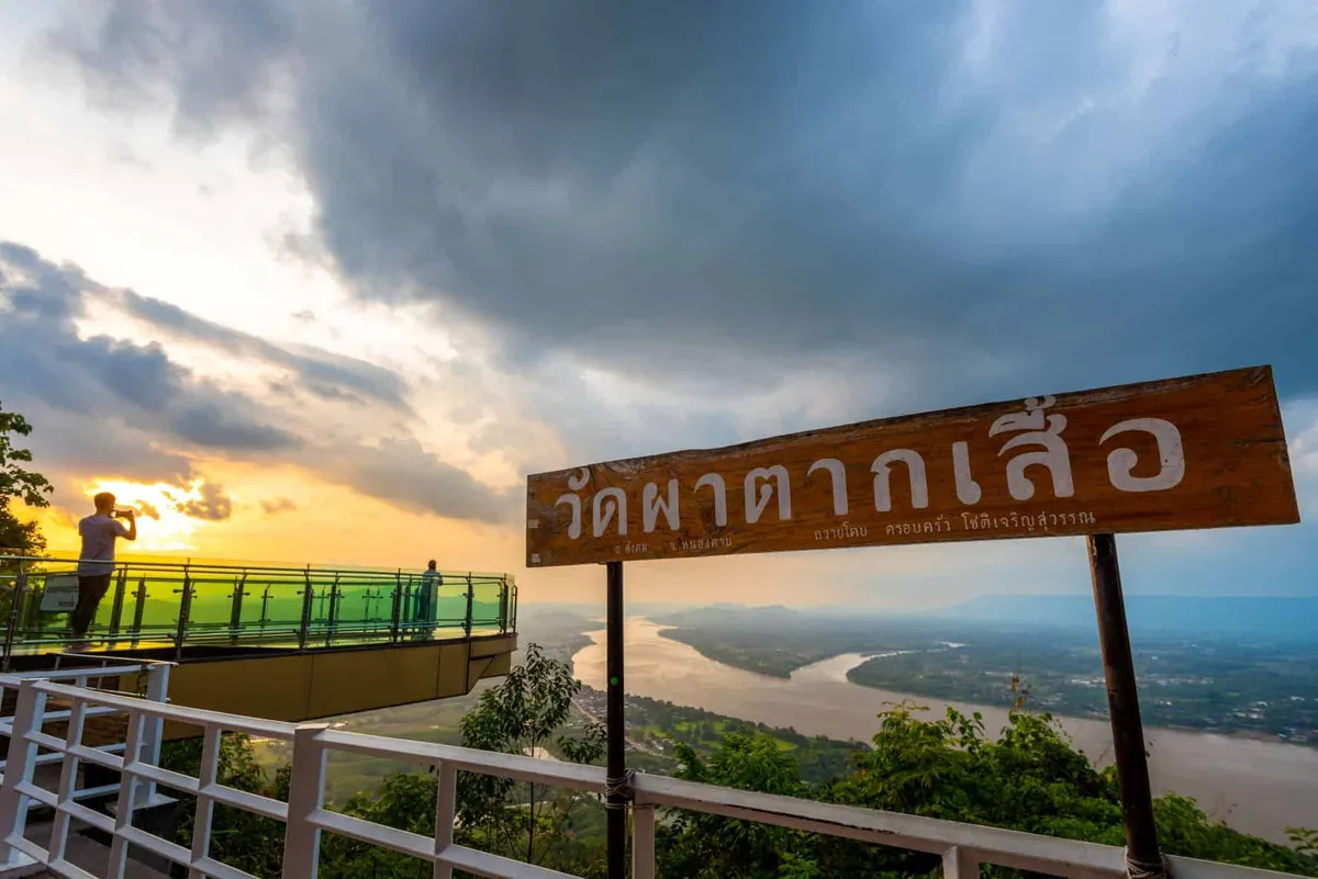
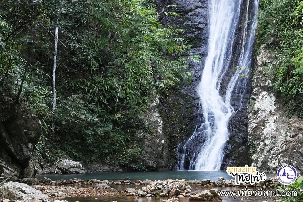
Sangkhom district holds several other Mekong-side stops worth combining with a visit: Wat Pha Tak Suea, the cliffside temple with its glass skywalk, and Namtok Than Thip, a multi-tiered waterfall a short drive away. Nong Khai town is the nearest hub for accommodation.
Location & Directions
Mu 2 Ban Muang
Nong Khai, Thailand
Show your taxi or Grab driver
พันโขด แสนไคร้
Frequently Asked Questions
What actually is Phan Khot Saen Khrai?
Where does the name come from?
When is the best time to see it?
Is there a fee to visit?
How far is it from Nong Khai town?
Spotted something out of date or incorrect? Let us know
Stay Near Phan Khot Saen Khrai
Live prices for places closest to Phan Khot Saen Khrai — tap a pin to compare.