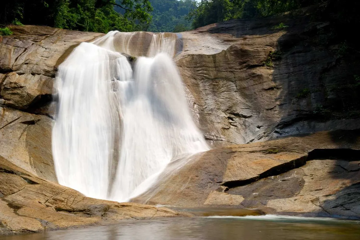
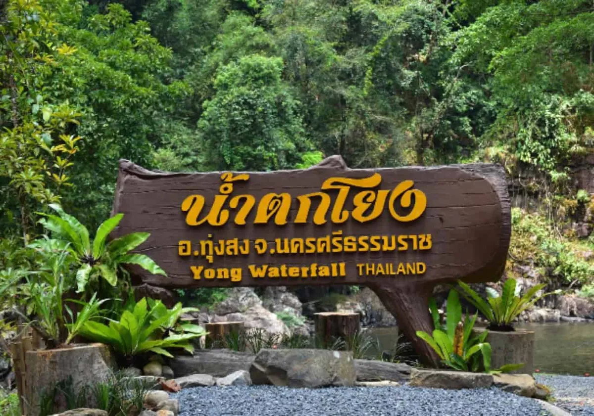
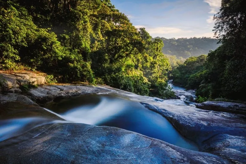
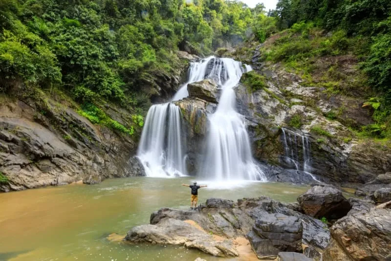
Tha Phae Waterfall drops through ten limestone tiers on the Chang Klang side of Khao Luang National Park, though only the first three are open to visitors without a park guide. It’s free to enter, about 36km and a 45-60 minute drive from Nakhon Si Thammarat town, and unrelated to the better-known Khiriwong village on the mountain’s opposite flank.
The three accessible tiers — Nan Phae Noi, Nan Nang Khruan, and Nan Toei — step down through forest that’s noticeably cooler than the coastal lowlands below. Nan Phae Noi, right at the entrance, has the widest and calmest pool of the three, making it the easiest spot for a swim without scrambling over wet rock. Moving up to Nan Nang Khruan and Nan Toei means a short, sometimes slippery forest trail, with the sound of water carrying through the canopy well before you reach either pool. Beyond the third tier, seven more named cascades continue up the mountain — Nan Ai Suai, Nan Pu, Nan Pai, and Nan Nam Rang among them — but Khao Luang National Park only opens that stretch as a supervised trail with park officers, not a route you can walk on your own.
Insider Tip: Ka Rome Waterfall is 6km away on the same road and shares the Chang Klang trailhead system — worth combining into one outing if you’re already out this far, rather than treating Tha Phae as a standalone stop.
Watch out: Don’t confuse this with Ban Khiriwong, the popular homestay and trekking village that also sits inside Khao Luang National Park — it’s roughly 30km away on the other side of the mountain, in Lan Saka district, with its own separate access road. Tour operators and taxi drivers sometimes conflate the two because both are marketed as “Khao Luang waterfalls.”
Rain feeds the falls most reliably from the tail end of the southwest monsoon through the northeast monsoon, roughly October to December, when all three open tiers run full. In the dry months of the hot season, the lower pools still hold water but the higher tiers can thin out considerably.
- Entry fee: Free
- Open tiers: 3 of 10 (Nan Phae Noi, Nan Nang Khruan, Nan Toei) — higher tiers need a park-guided trail
- Distance from town: ~36km via Highway 4016 then 4015
- Best months: October–December for full flow
- Not the same place as: Ban Khiriwong village (separate access, opposite side of the mountain)
Namtok Karom, 6km down the same road, and That Noi Temple, also in Chang Klang district, make sensible add-ons to the same trip. The broader Nakhon Si Thammarat hub covers the rest of the province, including the Khiriwong side of Khao Luang.
Location & Directions
Highway 4015, Chang Klang, Nakhon Si Thammarat
Nakhon Si Thammarat, Thailand
Show your taxi or Grab driver
น้ำตกท่าแพ
Frequently Asked Questions
How many tiers does Tha Phae Waterfall have?
Can I hike to the higher tiers?
Is Tha Phae Waterfall the same place as Khiriwong village?
How do I get to Tha Phae Waterfall from Nakhon Si Thammarat town?
Is there an entrance fee?
Spotted something out of date or incorrect? Let us know
Stay Near Tha Phae Waterfall
Live prices for places closest to Tha Phae Waterfall — tap a pin to compare.