Bang Lang National Park
อุทยานแห่งชาติบางลาง
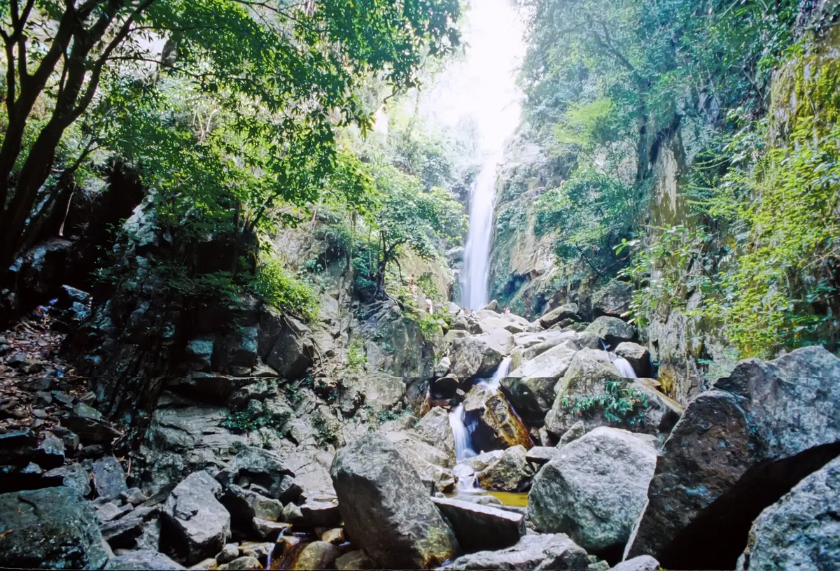
Bang Lang National Park protects rainforest and reservoir around the Bang Lang Dam in Yala’s Bannang Sata district, part of a protected area spanning Bannang Sata, Tharn To, and Betong districts. It’s known chiefly for hornbill birding — the park is home to several of Thailand’s hornbill species — and for boat trips across the flooded valley the dam created. Entry is 100 THB for foreign visitors, 20 THB for Thais, and the gate is open daily 08:00–16:00.
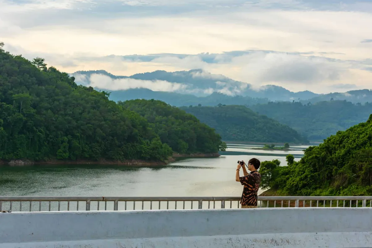
Most visitors experience the park from the water rather than on foot. Boats, including larger double-decker vessels, run from piers near the dam out across Than To Lake, passing small forested islands and giving a good vantage on the flooded valley without needing to trek. Birding is best in the early morning or evening; hornbills are most visible from July to August, when they move in flocks and their wingbeats are loud enough to hear before you see them. The gibbon calls and dense dipterocarp canopy along the accessible trails near the visitor centre give a sense of the wider rainforest, though the park’s deeper interior — the Hala-Bala forest complex — is not something a day visitor wanders into casually.
Insider Tip: Combine a visit with the neighbouring Bang Lang Dam viewpoint — the dam sits within the same reservoir system and is often visited as part of the same trip, with its own boat-hire points and photo spots.
Be honest with yourself about scope here: the roadside viewpoints, boat piers, and short trails near the dam are what almost every visitor actually sees. Deeper jungle trekking or overnight forest camping requires arranging a guide through the DNP park office in advance — this isn’t a park set up for independent multi-day hiking.
Watch out: Bannang Sata and the surrounding districts are part of Thailand’s deep South, where the Thai government and most Western foreign ministries advise checking current travel guidance before visiting — security conditions in the border provinces can shift, including occasional disruption on nearby roads. Daytime visits along Highway 410 to the dam and reservoir are standard practice; check with Yala tourism contacts or your embassy’s advisory before heading further toward Betong or into more remote park areas.
Cool, dry months from November to March bring the most comfortable hiking and boating conditions. The park is reached from Yala town via Highway 410, and having your own vehicle is close to essential — public transport doesn’t run this far. Bring insect repellent, water, and binoculars if birding is the goal; mobile signal thins out well before the park gate.
- Entry fee: 100 THB (foreigners), 20 THB (Thai nationals)
- Hours: Daily 08:00–16:00
- Best for hornbills: Early morning/evening; peak flocking July–August
- Getting there: Highway 410 from Yala town; own transport recommended
- Deep South context: Check current travel advisories before venturing beyond the main dam/reservoir route
Location & Directions
Tham Thalu Bannang Sata District Yala 95130
Yala, Thailand
Show your taxi or Grab driver
อุทยานแห่งชาติบางลาง
Frequently Asked Questions
What is there to actually do at Bang Lang National Park?
How much does it cost to enter?
Is it safe to visit Bang Lang National Park?
When is the best time to see hornbills?
Can I stay overnight in the park?
Spotted something out of date or incorrect? Let us know
Stay Near Bang Lang National Park
Live prices for places closest to Bang Lang National Park — tap a pin to compare.