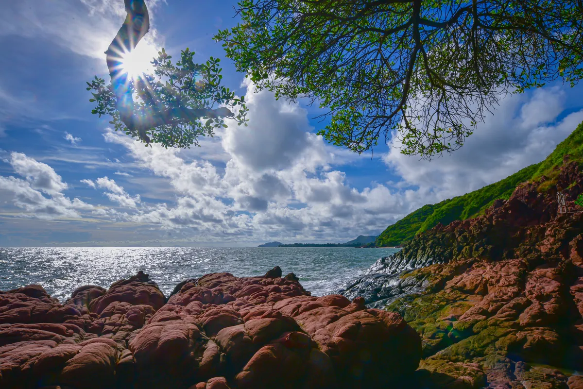
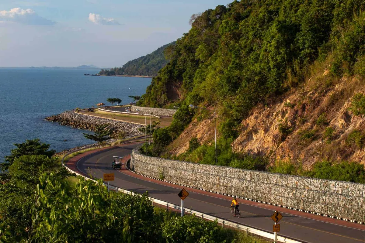
The Chaloem Burapha Chonlathit Road is a roughly 100-kilometre scenic coastal route that runs along Thailand’s eastern Gulf seaboard, from Rayong through Chanthaburi towards Trat. Most of its best stretches are in Chanthaburi, where the road hugs the shore and climbs over headlands, opening up wide views of the sea. It is a drive to enjoy for its own sake rather than a single fixed sight, and it’s free to drive — no toll, no entry fee.
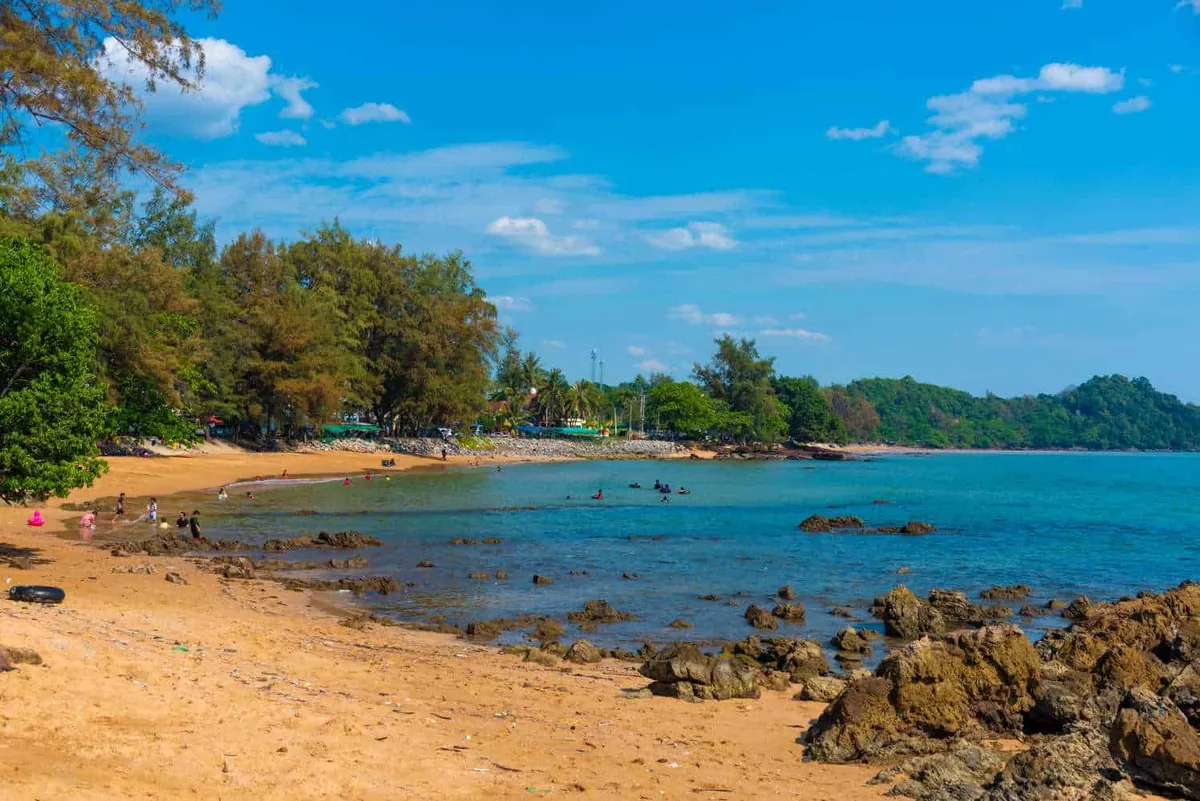
The signature stop is the Noen Nang Phaya viewpoint, a clifftop curve where the road sweeps above the Gulf and where a small skywalk and photo spots draw a steady stream of visitors. Along the way you pass quiet beaches such as Chao Lao Beach, fishing villages, seafood shacks, and the mangroves and learning centre around Kung Krabaen Bay. Each season changes the colours of the sea and the roadside vegetation, and there are plenty of pull-offs to stop for a photo or a coffee.
Driving or cycling the route gives a relaxed, unhurried feel quite different from a town attraction. Traffic is light outside holidays, and the mix of sea views, beaches and small communities makes it an easy half-day along the coast. Local vendors set up at the popular viewpoints, so you are rarely far from grilled snacks or a cold drink.
Insider Tip: Stop at Noen Nang Phaya on the way out rather than the way back — the morning light comes in low over the water and the skywalk is far less crowded before mid-morning tour groups arrive.
- Entry: Free (road use); parking/food at individual stops extra
- Length: ~100 km, Rayong to Trat via Chanthaburi
- Signature stop: Noen Nang Phaya viewpoint
- Best time: Early morning or late afternoon, November–February for cooler weather
- Transport: Own car, motorbike or tour — public transport along the route is limited
The road is most pleasant in the cooler morning or late-afternoon hours, when the light is best and the heat is down. You will need your own car, motorbike or a tour to do it justice, as public transport along the coast is limited. Bring sun protection and a camera, and allow time to stop at the viewpoints rather than driving straight through — the Chanthaburi hub has more on where to base yourself for the trip.
Location & Directions
Tha Mai, Chanthaburi
Chanthaburi, Thailand
Show your taxi or Grab driver
ถนนเฉลิมบูรพาชลทิต
Within Walking Distance


Frequently Asked Questions
Is there a toll or entry fee for the Chaloem Burapha Chonlathit Road?
What's the best single stop if I only have an hour?
Do I need a car, or can I do this route by public transport?
How long does the full route take?
When is the best time of day to drive it?
Spotted something out of date or incorrect? Let us know
Stay Near Chalerm Burapa Chollathit Road
Compare places to stay in Chanthaburi, or open the map for options closest to the attraction.