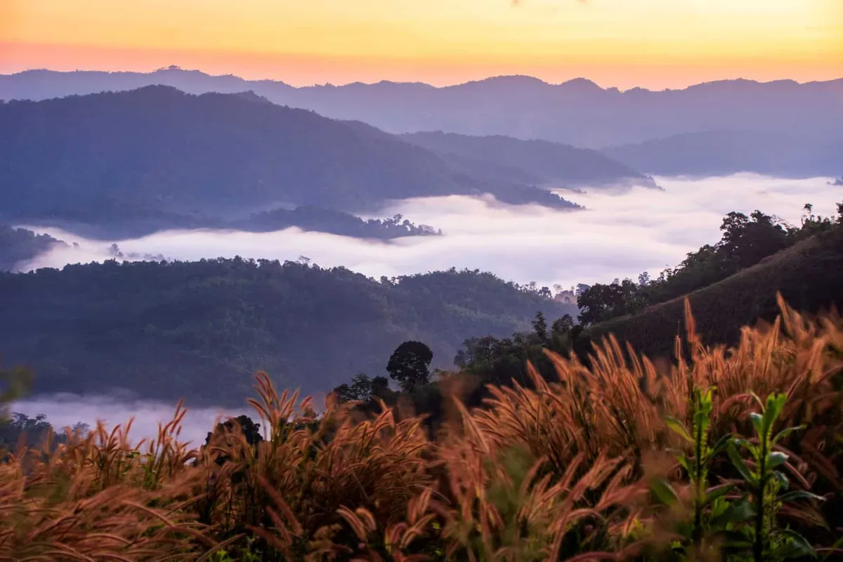
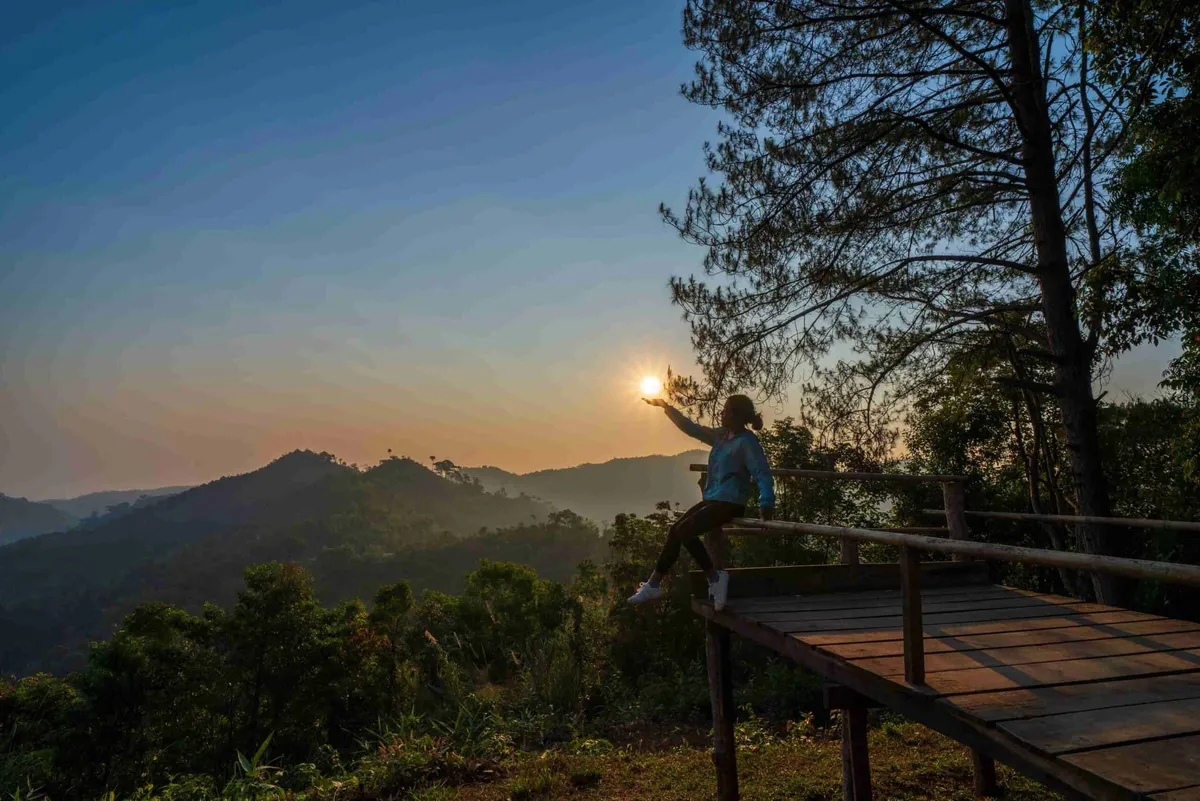
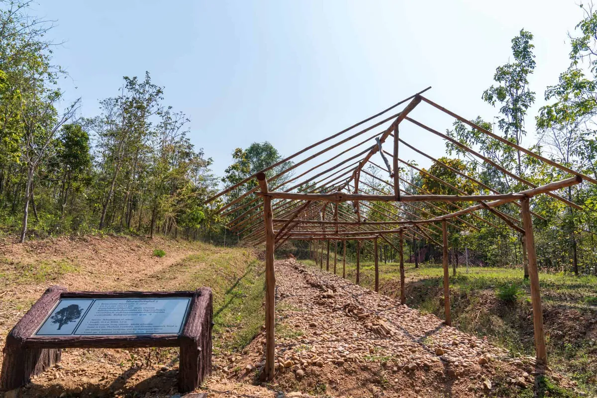
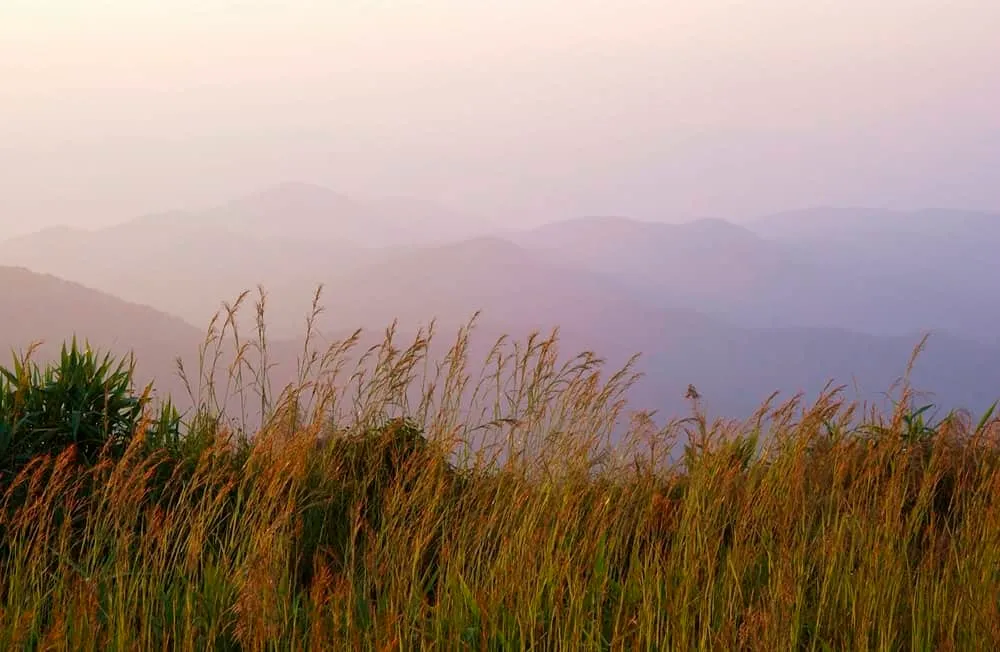
Doi Hua Mot is a bald, grassy summit inside Umphang Wildlife Sanctuary in Tak province’s Umphang district, reached via the winding Highway 1090 from Mae Sot. At around 920 metres, the peak’s name, literally “bald-headed mountain”, comes from its treeless crown: the forest gives way near the top to open grassland dotted with cycads, candle trees and wildflowers, with views across the hills toward the Myanmar border.
There are two viewpoint spots. The closer one is about 300 metres from the car park and camping area and gets most of the foot traffic; a second overlook is a steeper 1.5-kilometre, roughly 20-minute climb further along the ridge and sees far fewer visitors. Either way, the trail climbs through forest first (cooler air, the smell of damp leaves, birdsong in the canopy) before breaking out onto open grass and low shrubs where the cycads and the wide ridge-line views begin.
Doi Hua Mot’s main draw is the sea-of-mist sunrise: cloud fills the valleys below while the summit stays clear, at its best from late rainy season into early winter, roughly October to December. Catching it means being on the ridge before dawn, which in practice means camping overnight at the sanctuary’s designated site near the viewpoint rather than driving up on the morning itself, since day-use access doesn’t open early enough otherwise. Confirm current camping arrangements and any fees with sanctuary staff before you go, as rules at Thailand’s wildlife sanctuaries change without much notice online.
Getting here is most of the challenge: from Mae Sot, Highway 1090 to Umphang is one of Thailand’s most winding roads and takes about four hours by car, and Doi Hua Mot lies a further stretch into the sanctuary beyond Umphang town. Pack water, sturdy boots and warm layers: nights and early mornings at this elevation get cold even though lowland Tak stays hot. This is Tak province, not Kanchanaburi; despite both sharing long, mountainous borders with Myanmar, Umphang’s mist viewpoints and Kanchanaburi’s are a full day’s drive apart.
Insider Tip: Skip the crowded 300-metre viewpoint on a weekend and take the longer 1.5-kilometre trail to the second overlook instead: the same sea-of-mist view, a fraction of the people.
- Elevation: About 920 metres
- Entry: Listed as free; confirm current fees and camping arrangements with Umphang Wildlife Sanctuary staff
- Best time: Late rainy season to early winter (roughly October-December) for the mist
- Access: Highway 1090 from Mae Sot (about 4 hours) via Umphang town
- Trails: A 300m viewpoint and a steeper 1.5km/20-minute climb to a second, quieter overlook
Location & Directions
Umphang, Tak
Tak, Thailand
Show your taxi or Grab driver
ดอยหัวหมด
Frequently Asked Questions
Is Doi Hua Mot in Tak or Kanchanaburi province?
When is the best time to see the sea of mist at Doi Hua Mot?
Do you need to camp overnight to see the sunrise?
How hard is the hike to the viewpoint?
How do you get to Doi Hua Mot from Mae Sot?
Spotted something out of date or incorrect? Let us know
Stay Near Doi Hua Mot
Live prices for places closest to Doi Hua Mot: tap a pin to compare.