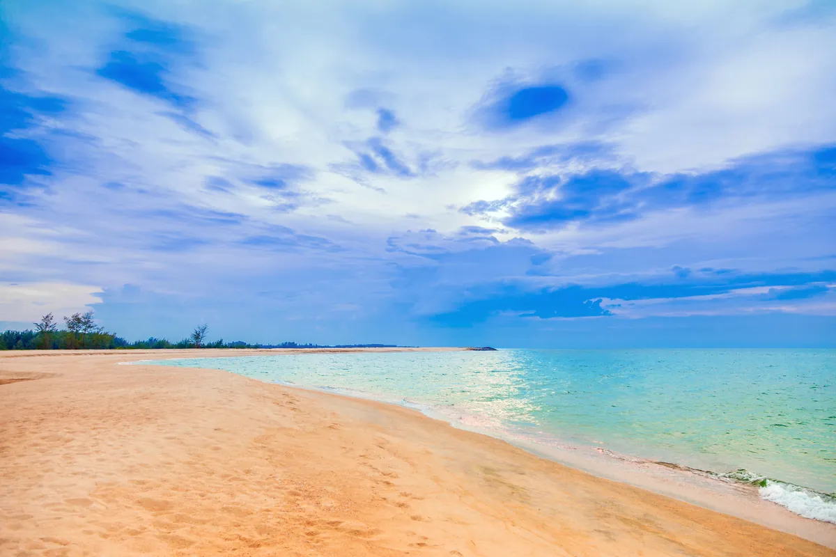
Hat Talo Kapo lies about 18 km from Pattani town by road: southeast on Highway 42, left at Amphoe Yaring, then across the Yamu Canal through forest and village land to reach the coast. The beach itself is a long run of sand backed by sea pines and coconut palms, with the Gulf of Thailand’s turquoise water in front and a working fishing community behind it.
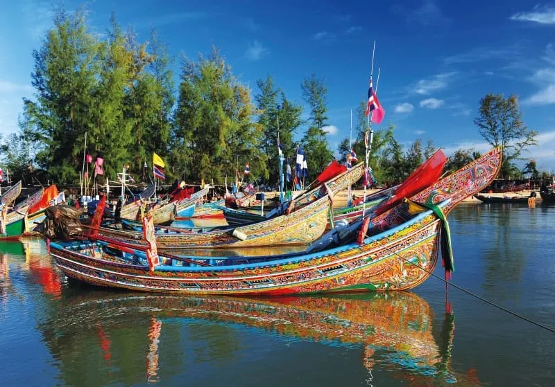
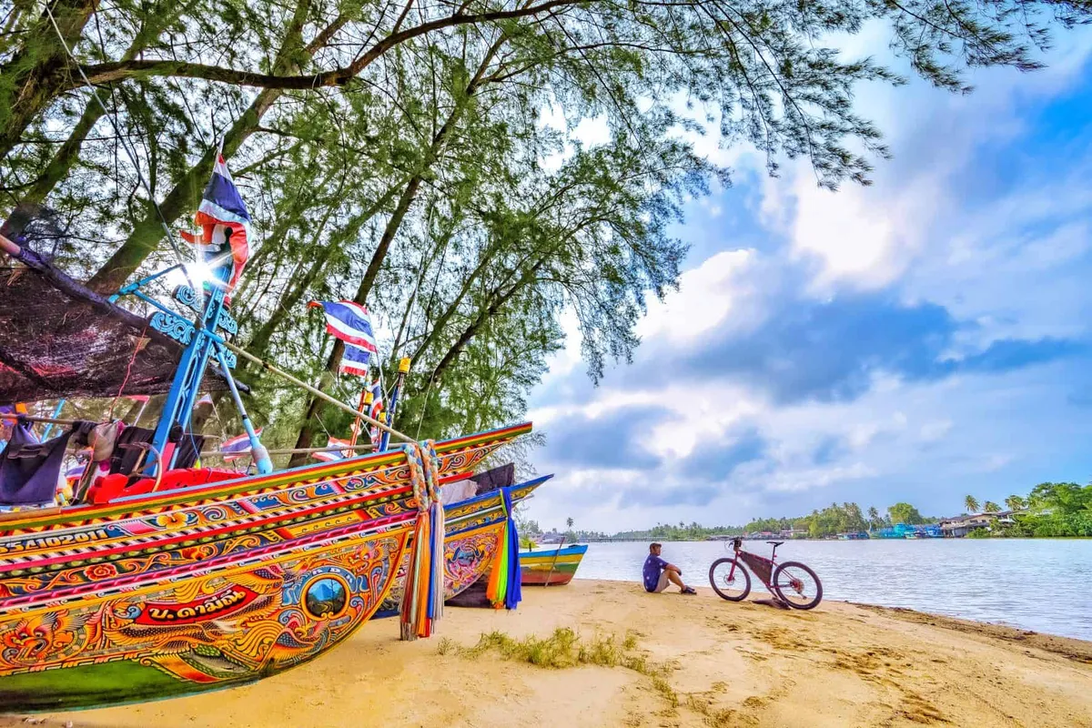
What sets Talo Kapo apart from other Pattani beaches is the fleet of kolae moored along the shore. These wooden fishing boats, hand-painted with bright colours and swirling patterns, are found only in Thailand’s deep South and are built and used almost entirely by the Muslim fishing communities of Pattani, Narathiwat and Yala. Rows of them line the sand where local fishermen land their catch, giving the beach a working, lived-in character rather than a manicured tourist one.
Small accommodations, simple restaurants and a beachside café or two are scattered along the shore road, but this isn’t a developed resort strip: most visitors are day-trippers from Pattani town or the wider Deep South rather than international beach tourists. Shade under the pines and palms makes it a reasonable spot for a walk or a picnic, and the boats themselves are the main draw for photography.
Insider Tip: Go in the late afternoon when fishermen bring boats in for the day. The kolae are more active and colourful against the light than at midday, and you’ll see the working side of the beach rather than just moored boats.
- Entry fee: Free
- Distance from Pattani town: ~18 km via Highway 42
- Known for: Kolae (traditional painted fishing boats)
- Setting: Sea pines and coconut palms along a working fishing beach
- Contact: 0 7352 2411
Getting There
Hat Talo-Kapo Beach is located at Yaring, Pattani, close to the Yaring Mangrove Education Center in the same district. Hat Ma Ruat is another Pattani beach worth comparing it with. View on Google Maps.
Tips for Visitors
-
Check the current flag system for swimming conditions.
-
Shade can be limited away from the pines. Consider bringing your own umbrella.
-
Keep valuables locked in your accommodation, not on the beach.
-
Rip currents can occur. Swim parallel to shore if caught.
Location & Directions
Yaring, Pattani
Pattani, Thailand
Show your taxi or Grab driver
หาดตะโละกาโปร์
Frequently Asked Questions
How far is Hat Talo Kapo from Pattani town?
What are kolae boats and why are they here?
Is it a swimming beach or a fishing-village visit?
Are there facilities at the beach?
Spotted something out of date or incorrect? Let us know
Stay Near Hat Talo-Kapo Beach
Live prices for places closest to Hat Talo-Kapo Beach: tap a pin to compare.