Laem Ta Chi (Laem Pho)
แหลมตาชี หรือ แหลมโพธิ์
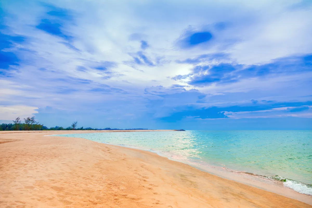
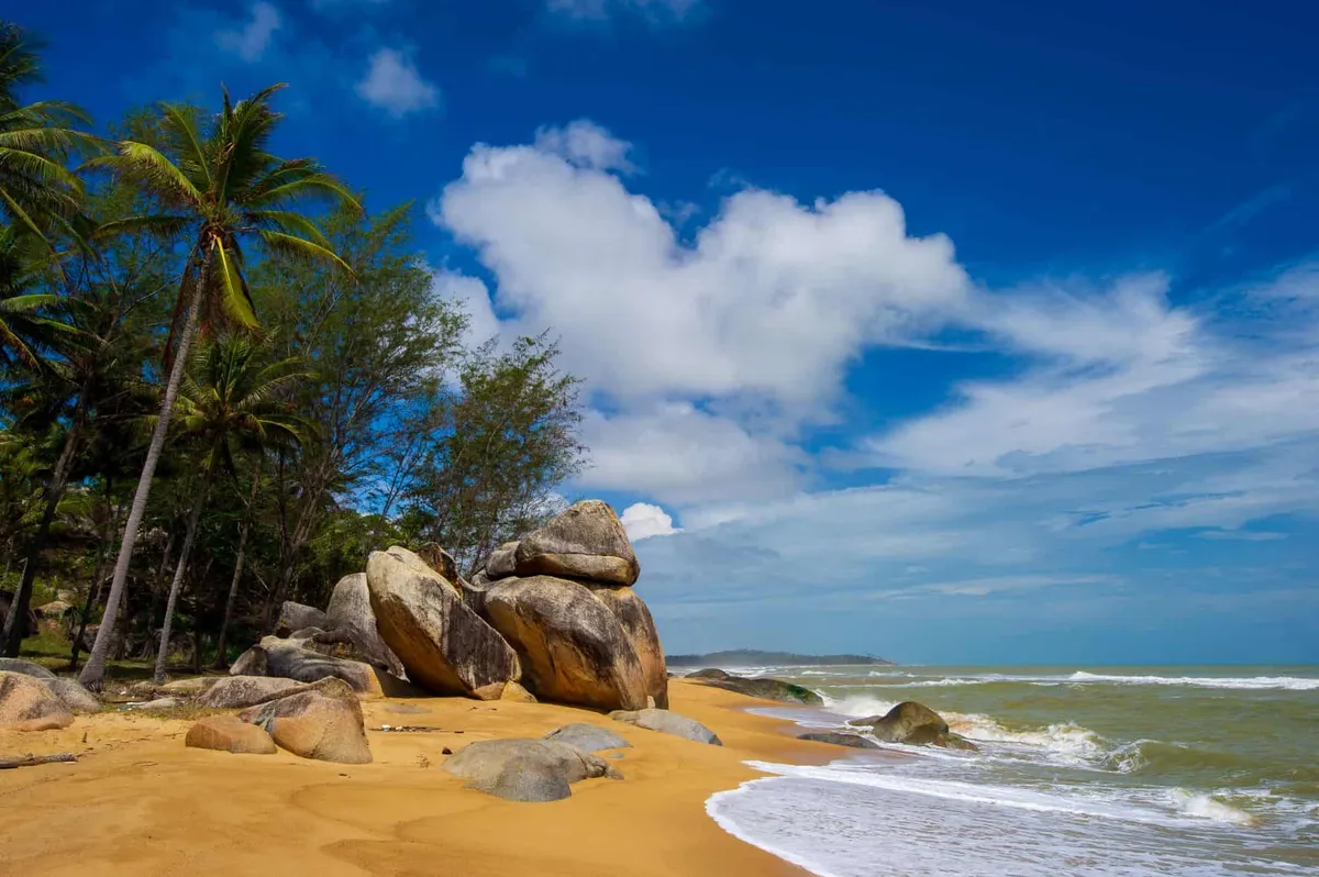
Laem Ta Chi, also called Laem Pho, is a sand spit roughly 16 kilometres long at the tip of the Laem Pho peninsula in Yaring district, Pattani province. It separates the calmer water of Pattani Bay on the inner side from the open Gulf of Thailand on the outer side, and the tip itself keeps growing, adding an estimated 20-40 metres of new sand a year. Entry is free, with no fixed gate or fee.
Experience
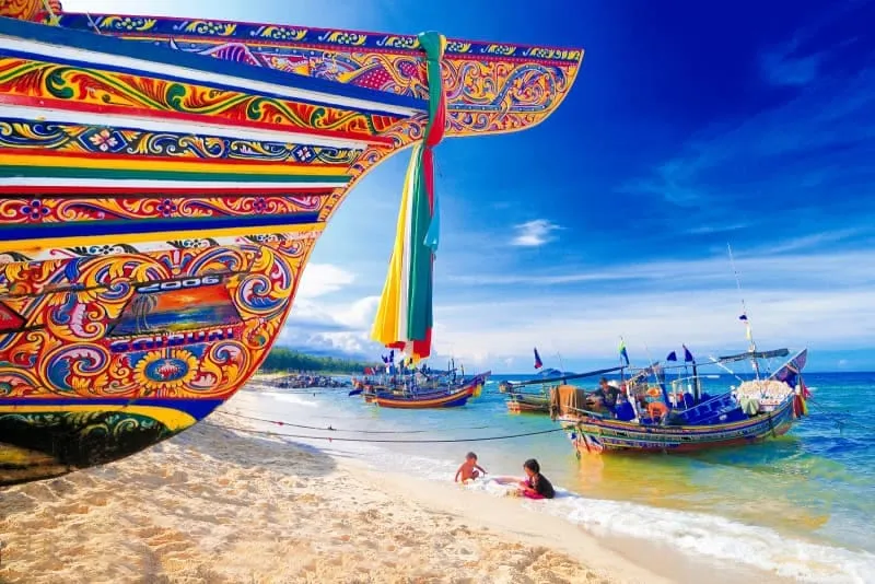
The inner shore, facing the bay, is lined with fishing settlements (Ban Dato, Ban Talo Samilae and Ban Budi among them) where fishing remains the main livelihood. The outer side, facing open sea, supports aquaculture: snapper cages, cockle and mussel beds worked by families from these same villages. A scattering of private guesthouses sits along this outer stretch, mostly used by weekend anglers rather than package tourists. At the very tip, where the two bodies of water meet, sunrise over the Gulf and sunset over the bay are both visible from close to the same spot, a detail locals point to as the cape’s main draw.
Atmosphere & Timing
This is a working coastline, not a resort beach. Expect longtail boats, drying nets and the rhythm of a fishing community rather than sun loungers or beach bars. Early morning and late afternoon are the most rewarding times, both for the light and for watching boats head out or come back in. Community-run boat trips depart from tourist communities around Pattani Bay, including Bang Pu, and typically take about 30 minutes to reach the cape.
Insider Tip: Pair the boat trip with a stop at Ban Dato Mosque, which sits in the same Laem Pho subdistrict, or the Yaring Mangrove Education Center a short drive inland. Either extends a cape visit into a fuller half-day.
Watch out: Pattani is one of Thailand’s three deep-south provinces, and several governments advise against all but essential travel there because of an ongoing insurgency. This isn’t specific to Laem Ta Chi, but it applies to the wider area. See the Pattani guide for the current security picture before planning a trip, and travel with local knowledge if you go.
Practical
Two routes reach the cape. By boat, services run from the Pattani River estuary or from tourist communities around the bay, a roughly 30-minute crossing. By road, it’s about 43 kilometres from Pattani city: Highway 42 toward Narathiwat, then Rural Road 2062 through Yaring, past Talo Kapo Beach to the end of the road. There’s no set opening or closing time; the cape is open coastline, and visits run on daylight and tides rather than a schedule.
- Entry fee: Free
- Length: Roughly 16 km sand spit, growing 20-40 m a year at the tip
- By boat: ~30 minutes from the Pattani River estuary or Bang Pu
- By road: ~43 km from Pattani city via Highway 42 and Rural Road 2062
- Nearby: Ban Dato Mosque (same subdistrict), Yaring Mangrove Education Center
Location & Directions
Yaring, Pattani
Pattani, Thailand
Show your taxi or Grab driver
แหลมตาชี หรือ แหลมโพธิ์
Frequently Asked Questions
What is Laem Ta Chi?
Is it safe to visit Pattani province?
How do I get to Laem Ta Chi?
Is there anywhere to stay near the cape?
What's nearby worth combining with a visit?
Spotted something out of date or incorrect? Let us know
Stay Near Laem Ta Chi (Laem Pho)
Live prices for places closest to Laem Ta Chi (Laem Pho): tap a pin to compare.