Mon Khlui is a grassland viewpoint at roughly 1,100 metres elevation on the border of Tha Song Yang and Mae Wa Luang subdistricts in Tak province, part of the wider border highlands covered by the Mae Sariang area. It’s reached via a steep unpaved road off Highway 105. Entry is free, camping is allowed on the summit, and a 4WD vehicle is strongly recommended for the final climb.
Experience
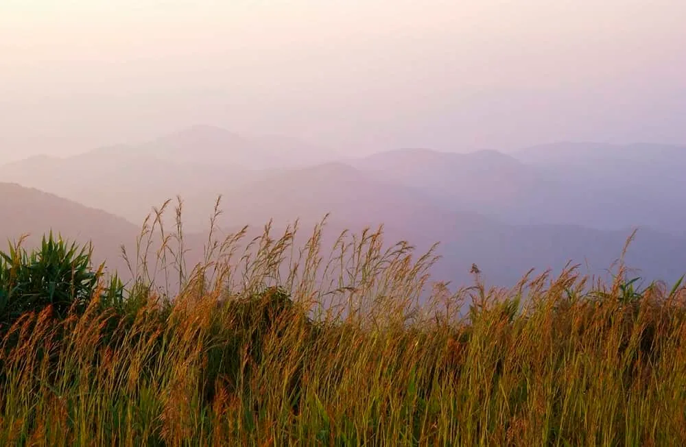
The name comes from the Pakayor (Karen) language — “Khlui Khlo,” roughly “a mountain naturally covered in grass” — and that’s the defining feature: open grassland across the summit, broken up by patches of dwarf forest rather than dense tree cover. That openness is what makes the views work in almost every direction, including west over a ravine along the Mae Yom River, where morning mist regularly fills the valley below, and out toward the neighbouring peak of Doi Mon Thu Le.
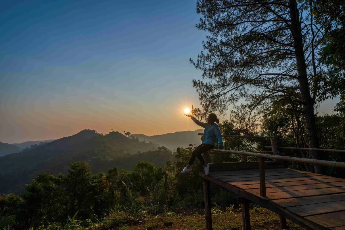
Sunrise and sunset are both worth timing a visit around — the exposed grassland gives an unbroken horizon for either, and clear nights bring heavy stargazing given the distance from any town lighting. The cool season (roughly November to January) is when the sea-of-mist effect is most reliable and when most visitors make the trip.
Atmosphere & Timing
This is a genuinely remote spot — access is via Highway 105 through Mae Sot and Mae Lamao to around kilometre 158, then a signed turn onto a roughly 7.5 km unpaved track that climbs steeply into the hills. Local pickup trucks wait at the base for visitors without a 4WD of their own. Once up top, the summit is largely undeveloped: a grassland camping area rather than a resort setup, with space for a couple hundred tents during busier cool-season weekends.
Practical
There’s no entry fee and no fixed facilities beyond what campers bring or arrange locally — this favours self-sufficient visitors over a casual drop-in stop. The Tha Song Yang Subdistrict Administrative Organization (tel. 05 503 0358 / 08 9268 0119) can help with local transport arrangements for the final stretch. If you’re combining it with other stops in the district, Wat Mongkhon Khiri Khet and the grassland scenery at Bua Tong Fields at Doi Mae Ho are both in the same border-highlands stretch.
Insider Tip: Book a local 4WD pickup at the base rather than attempting the 7.5 km unpaved climb in a standard car — the steepness and loose surface catch out most rental sedans.
Watch out: Temperatures at the summit run 10-15°C cooler than the valley floor, especially before dawn — cool-season nights can approach single digits Celsius, so pack real layers, not just a light jacket.
- Entry fee: Free
- Elevation: Approximately 1,100 metres
- Access: Highway 105 to km 158, then a 7.5 km unpaved road — 4WD recommended
- Best time: November-January for the clearest sea-of-mist mornings
- Camping: Allowed on the summit grassland, capacity for roughly 200 visitors
Good to Know
Good for
Location & Directions
Tha Song Yang, Tak
Tak, Thailand
Show your taxi or Grab driver
ม่อนคลุย
Frequently Asked Questions
Is Mon Khlui free to visit?
Do you need a 4WD to get up?
When is the best time to see the sea of mist?
Can you camp overnight at Mon Khlui?
How high is Mon Khlui?
Spotted something out of date or incorrect? Let us know
Stay Near Mon Khlui
Live prices for places closest to Mon Khlui — tap a pin to compare.