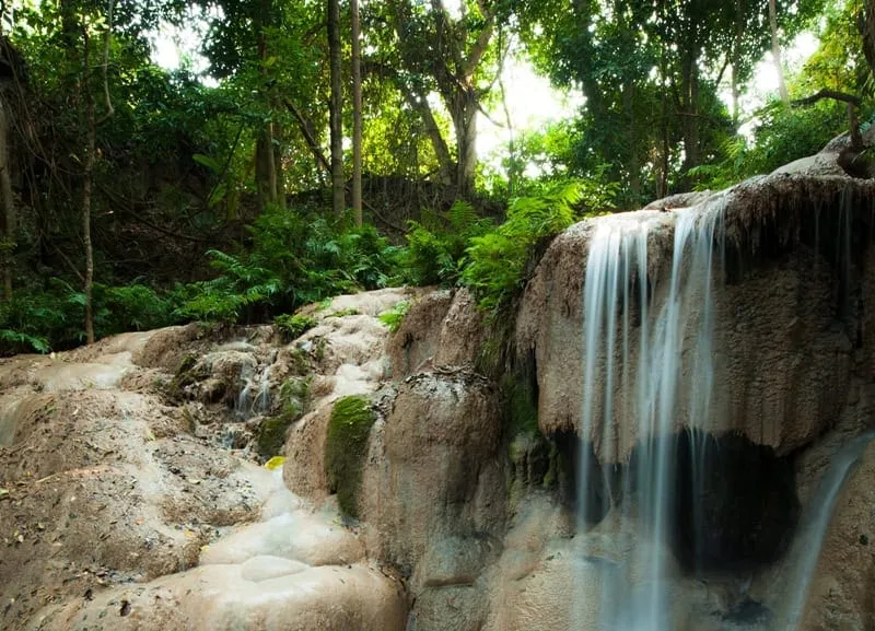
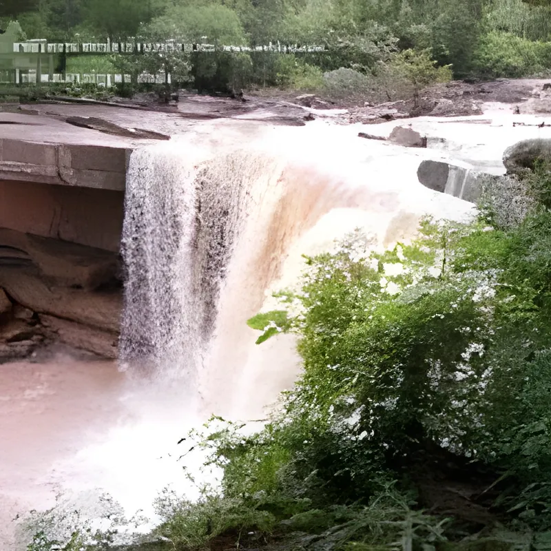
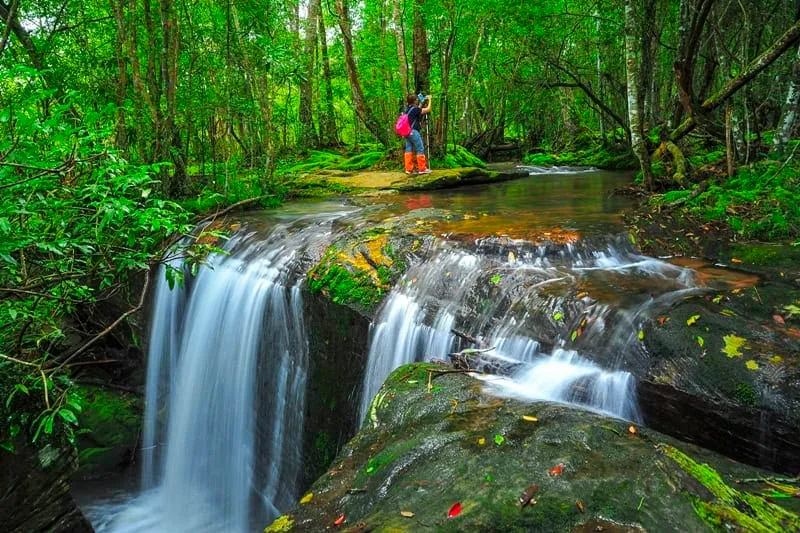
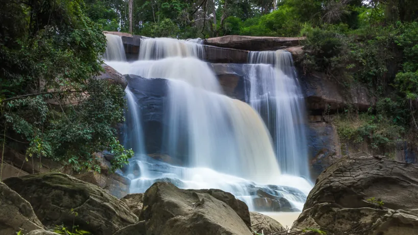
Namtok Tat Hong is a three-tiered waterfall, about 40 metres in total drop, fed by the Nam Phong River as it flows down the northwestern valley of Phu Kradueng National Park in Si Than subdistrict, Loei. It’s reached by a separate paved side road near the park’s Na Noi protection unit, not the summit hiking trail — free entry at this access point, open daily 08:30–16:30, though the wider park (and this waterfall with it) closes 1 June–30 September each year for ecological recovery.
Steep rock cliffs flank both sides of the gorge as the river spills over three broad, stepped ledges. In good flow the water crashes down loudly enough to justify the name — “tat” (gorge) and “hong” (roar) in local Isan dialect. Looking downstream from the falls, you can pick out Tat Rong waterfall in the distance, a second cascade on the same river system. The Nam Phong itself is no minor stream — it’s the river that eventually feeds the Ubolratana Dam over in Khon Kaen — but up here it’s still narrow mountain water dropping through forest.
The access route has its own history: this stretch of forest carries a marked trail once used by the Free Thai Movement (Seri Thai) during World War II, linking Loei to Phetchabun province, and Tat Hong sits along it alongside smaller sights — Tat Huai Wua falls, a stretch of white sand, and rock formations at Kaeng Hin Tang. Getting here doesn’t require the fitness or gear a Phu Kradueng summit attempt does. From the Phu Kradueng subdistrict office, a paved road runs roughly 23 km to a parking area near the falls, with only a short 200-metre walk on foot at the end — a normal car handles the route in dry conditions. That accessibility is also the honest limitation: because it’s reachable by road, it draws day-trippers with cameras rather than the solitude a longer trek would filter out, especially on weekends in peak season.
Insider Tip: Visit October–December for the fullest flow — by the dry season (February onward) the cascade thins considerably, though it never fully stops.
Watch out: There are no facilities at the falls — no food stalls, no toilets — so bring water and snacks, and check the park’s seasonal closure dates before planning a trip in the June–September window.
- Entry fee: Free at this access point
- Hours: Daily 08:30–16:30 (park closed 1 Jun–30 Sep annually)
- Structure: Three-tiered waterfall, ~40m drop, on the Nam Phong River
- Access: ~23 km paved side road from Phu Kradueng subdistrict, then a 200m walk
- Best time: October–December for peak flow
Location & Directions
Phu Kradueng, Loei
Loei, Thailand
Show your taxi or Grab driver
น้ำตกตาดฮ้อง
Frequently Asked Questions
Do I need to climb Phu Kradueng's plateau to see Tat Hong?
Is the waterfall open year-round?
When's the best time to see it at full flow?
Is there an entry fee?
What does "Tat Hong" mean?
Spotted something out of date or incorrect? Let us know
Stay Near Namtok Tat Hong
Live prices for places closest to Namtok Tat Hong — tap a pin to compare.