







Hat Yai
หาดใหญ่
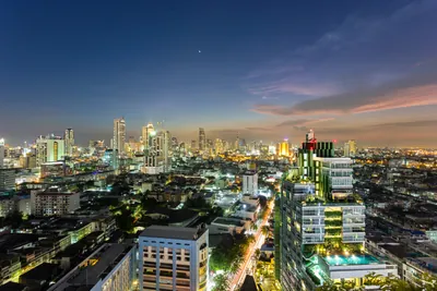
Southern Thailand's largest city, a cross-border food, market and shopping capital where Malaysian and Singaporean weekenders outnumber Western tourists.
- Best time
- February to April (driest and coolest)
- From Bangkok
- ~1.5 hrs by flight to Hat Yai (HDY); 14-16 hrs on the overnight sleeper
- Known for
- Cross-border Malaysian and Singaporean weekend trade - markets, malls, night bazaars, food
- Transport
- Hat Yai Junction is southern Thailand's main rail hub; HDY airport ~12 km south-west
- Safety
- Outside the deep-south advisory districts, but the FCDO does caution against the Hat Yai-Padang Besar rail line
Updated July 2026
Plan your trip
Recommended by us

Kim Yong Market
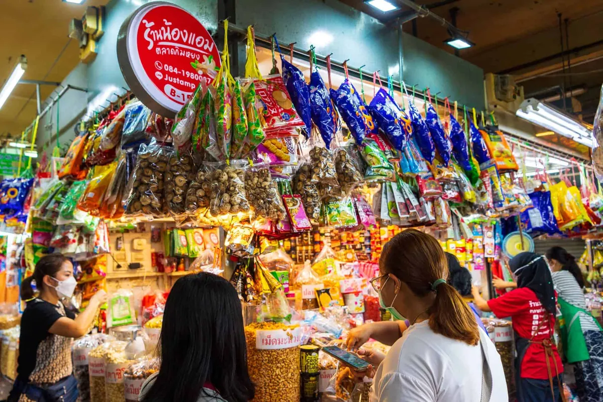
Central market for snacks, dried goods, and southern flavours. Go hungry.

Khlong Hae Floating Market
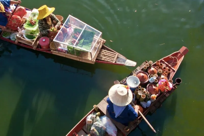
Weekend floating market on the canal. Check the day before you go.

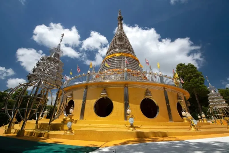
Phra Mahathat Chedi Traiphop Traimongkon
Glass chedi with city views, Hat Yai’s landmark silhouette.

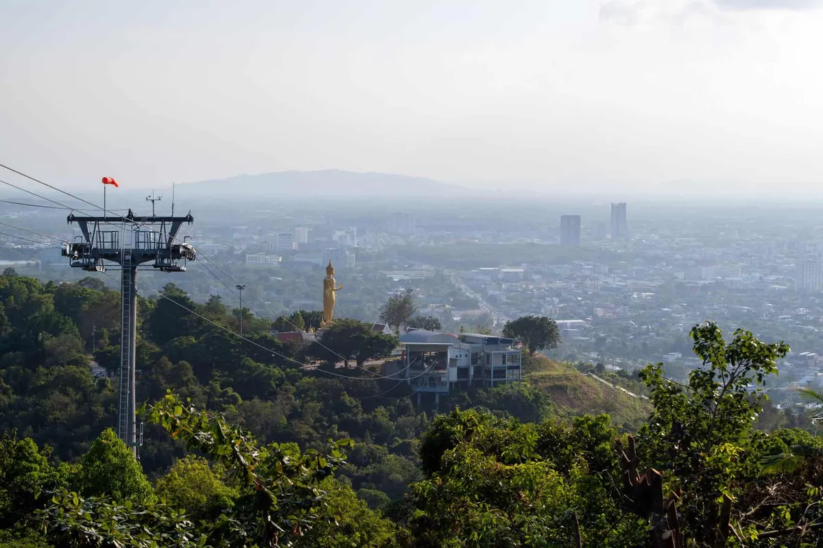
Hatyai City Park
Green space for an evening walk when the heat drops.
Get to Hat Yai
Southern Thailand’s main hub: direct flights from Bangkok, or train overnight. Gateway to Songkhla and the deep south.

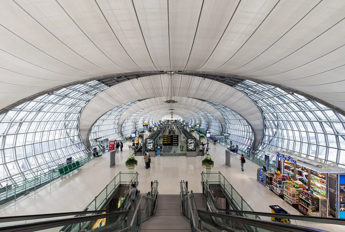
eSIM for Thailand
Land with data already working and skip the airport SIM queue. We tested six plans. Code THAIHOLIDAY saves 10%.

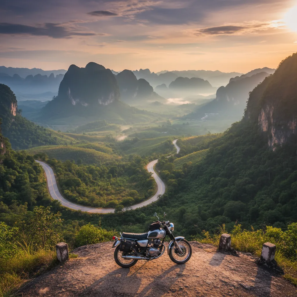
Travel insurance
Scooters and day trips are common here. Sort cover before you go and check the motorbike clause.
Top sights & experiences
Things to do in Hat Yai



Things to do on the map
Tap a pin for details. 7 places in Hat Yai plotted.
Where to stay in Hat Yai

A Little Nap Hometel

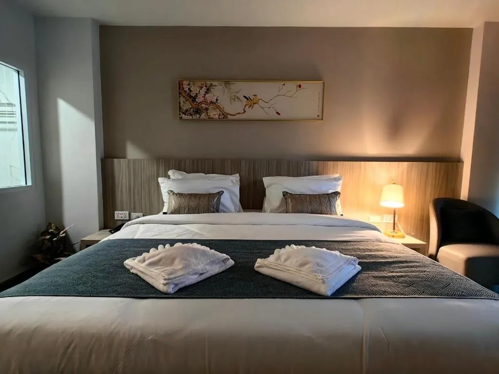
Chinatown Living Hatyai Hotel

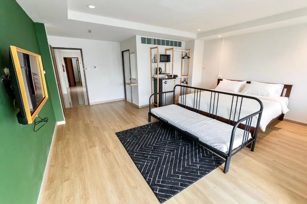
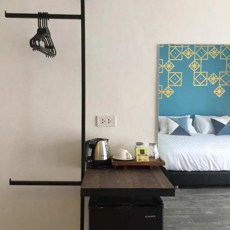
De Blue Door
- 2 bedrooms

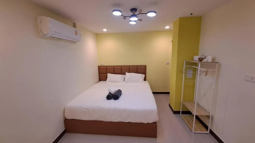
Goodnight Poshtel

Hatyai Muslim Home
- 3 bedrooms

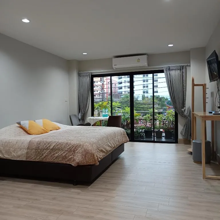
IHome Hatyai
- Sleeps 2

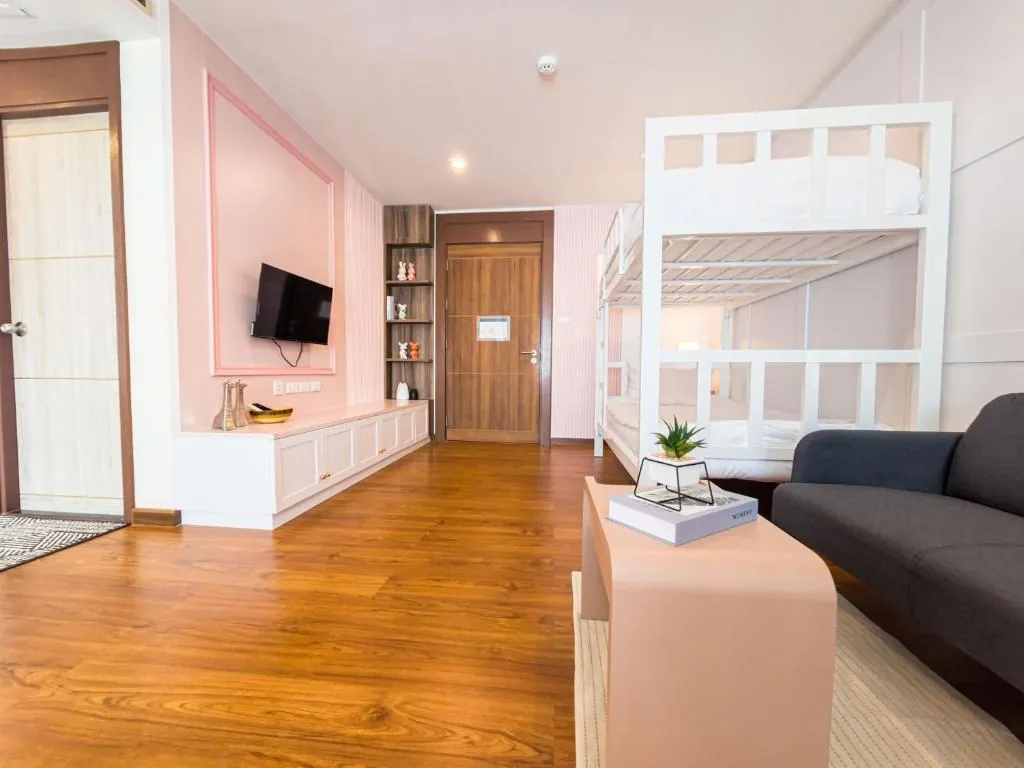
J The Park Condotel
- 1 bedroom

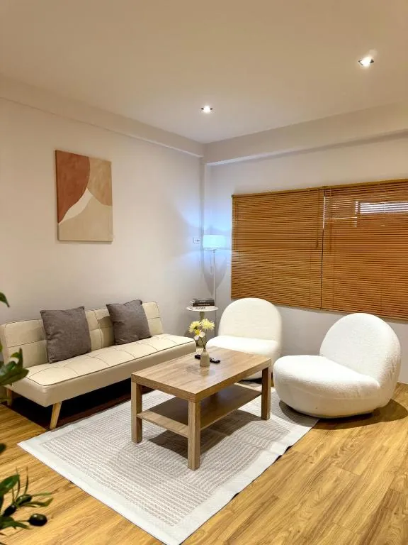
Luana Hatyai House
- 2 bedrooms

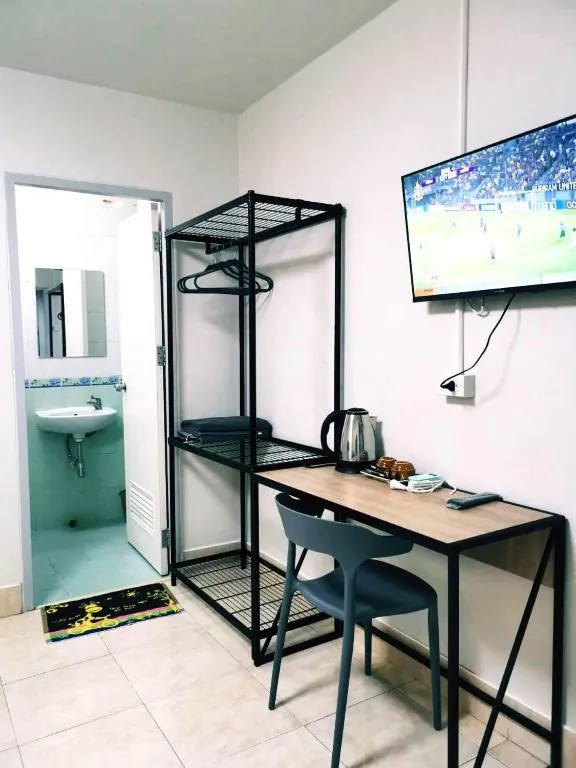
Moon's House Hatyai
- Sleeps 2

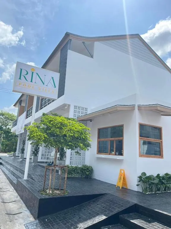
Rina Poolvilla
- 1 bedroom
- Sleeps 2

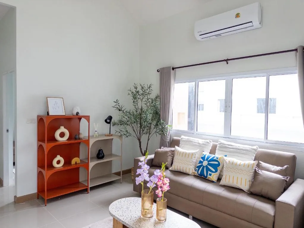
Serene Poolvilla
- 3 bedrooms
- Sleeps 2

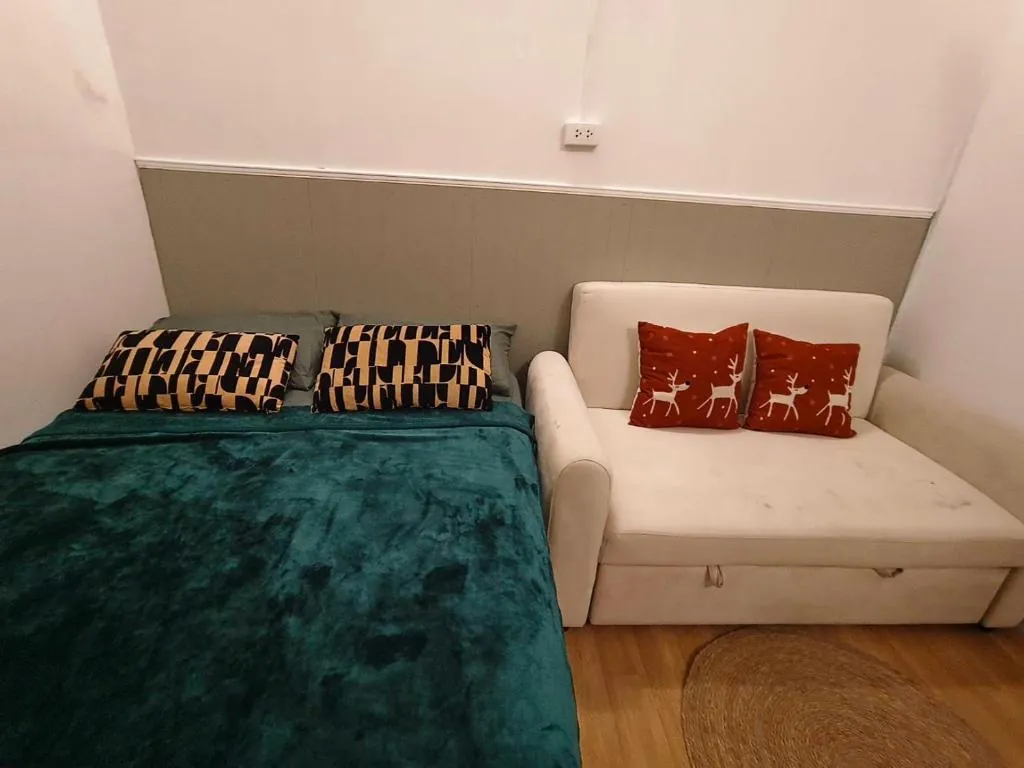
Srida House
- Sleeps 1–2
When to go
Feb-Apr The driest and coolest stretch of the year, and the best window for walking the markets and hill temples without a rain jacket.
May-Sep Warm and humid with irregular showers. The city functions normally; a downpour might close a night market early but rarely costs you a day.
Oct-Dec The northeast monsoon's heaviest months, and flood risk here is real rather than theoretical - Hat Yai sits in a low basin where two waterways converge. November 2025 brought record rainfall and the most damaging flood in the city's modern history. Check current conditions before booking in this window.
Jan Rain eases off from the December peak but can still be significant. Treat it as a transition month rather than a dry one.
About Hat Yai
Last updated July 2026
Overview
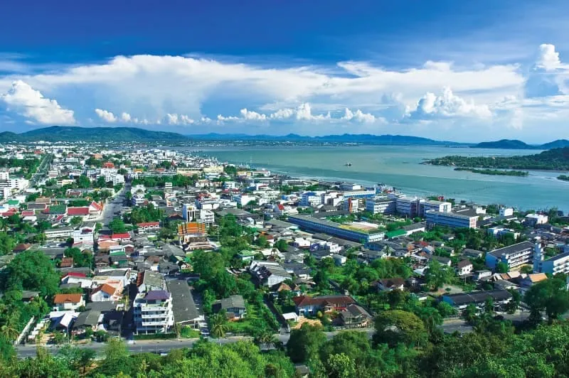
Hat Yai is the largest city in southern Thailand, and it is not trying to be a beach town. It is a commercial city: the retail, food and transport engine for a region where the Malaysian border sits around 60 kilometres south. On a typical weekend a large share of the people filling its hotels and market stalls have crossed from Penang, Kedah or Kuala Lumpur specifically to eat, shop and spend a night somewhere louder and cheaper than home. That is the honest pitch: come for the food, the markets and the after-dark energy, not for scenery.
The city sits inland, about 25 kilometres from Songkhla city and the Gulf coast, in a low-lying basin where the Khlong U-Tapao and Khlong Sadao converge before draining toward Songkhla Lake. That geography is why Hat Yai floods periodically, and why November 2025 was catastrophic rather than routine: roughly 630mm of rain in 72 hours put large parts of the city under water, and the local hotel association reported around 90 percent of its roughly 300 hotels affected. Recovery has been real but uneven: attractions and markets came back first, while hotel and restaurant reopenings ran well into 2026. If you are booking, confirm your specific property is open and trading.
On safety more broadly, Hat Yai lies outside the areas the UK Foreign Office advises against visiting. Those cover Pattani, Yala and Narathiwat provinces plus four Songkhla border districts (Chana, Thepha, Na Thawi and Saba Yoi), none of which sit on a normal Hat Yai itinerary. The FCDO does flag the Hat Yai to Padang Besar railway line, which passes through those districts en route to Malaysia. The city has its own history tied to the deep-south insurgency, including a car bombing at Lee Gardens Plaza in March 2012; there has been no repeat at that scale since, and day-to-day life here runs at an entirely ordinary pace.
Top Things to Do
Kim Yong Market is the clearest expression of what Hat Yai is for: Thai and Malaysian traders side by side, prices quoted in baht and ringgit, dried fruit and curry puffs next to electronics. Free to walk, and the food stalls are the real reason to come. Arrive hungry.
Khlong Hae Floating Market, a few kilometres from the centre, runs Friday to Sunday evenings only. Turning up midweek finds an empty canal. When it is on, vendors sell seafood, fruit and southern Thai dishes from longtail boats moored along the waterway.
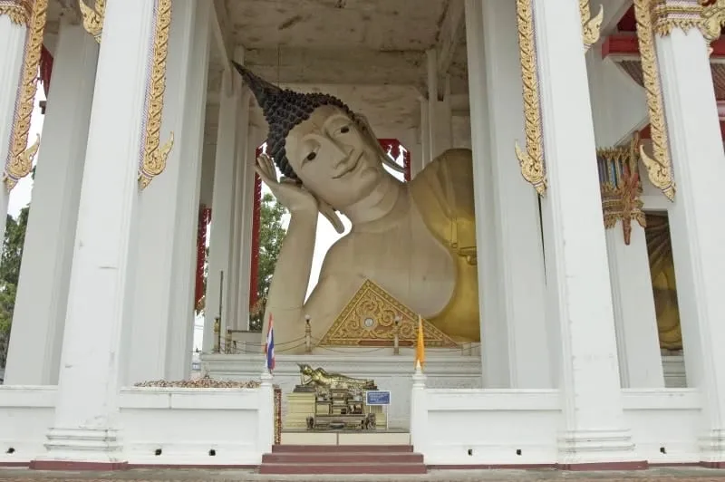
Mahattamangkhalaram Temple, better known as Wat Hat Yai Nai, holds one of southern Thailand’s largest reclining Buddha images, a gilded figure roughly 35 metres long under a purpose-built hall. Free, and modest dress applies as at any working temple.
Phra Mahathat Chedi Traiphop Traimongkon, locally the “stainless steel chedi” for its clad exterior, sits on Khao Kho Hong hill north of the centre, with a wide view back over the city toward Songkhla Lake.
The same hill holds Hat Yai City Park, the city’s main green space, along with a cable car linking the viewpoints. Reported cable-car hours and closed days vary between sources, so confirm on the day rather than planning around a specific time.
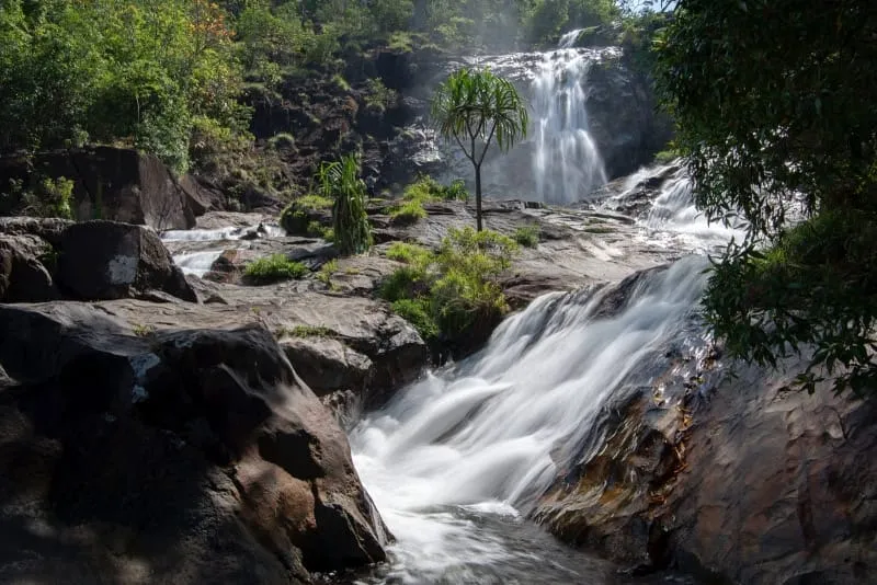
Ton Nga Chang Waterfall, “Ivory Tusk Falls”, is about 26 kilometres west in the hills of Hat Yai district, a seven-tier cascade named for the tier where the flow splits into two tusk-like streams. It is the one genuinely scenic half-day within easy reach of the city, and it flows hardest in the wet months when the city itself is least pleasant.
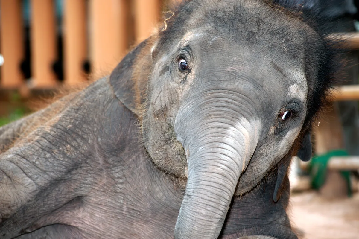
One venue worth naming honestly rather than recommending: Chang Puak Camp in the Nam Noi area is a riding-and-show elephant camp, not a sanctuary. We do not recommend elephant riding or performance venues: the training and the riding cause documented welfare harm. If elephants matter to you, choose an observation-only operation with no riding and no shows.
Where to Stay
Hat Yai has by far the widest hotel range in the deep south, and it is where most visitors to the province base themselves rather than in Songkhla city.
The commercial core around Lee Garden Plaza and the Niphat Uthit roads is the default choice: walking distance to Kim Yong Market, the malls and the night-market strips, with everything from international chains to budget guesthouses. Staying near Hat Yai Junction suits anyone arriving late or connecting onward by train, and sits within the same central grid. The area around CentralFestival, a few kilometres from the centre, offers newer hotel stock and mall access for shoppers who do not need the night markets on their doorstep.
One practical caveat given the scale of the 2025 flooding: hotel reopenings ran unevenly through 2026, and a handful of long-established properties did not return. Confirm directly with any hotel that it is open and operating before you commit.
Getting There
Hat Yai International Airport (HDY) is about 12 kilometres south-west of the centre, 20 to 30 minutes by taxi, Grab or airport minibus. AirAsia, Thai Lion Air, Nok Air and Thai Airways all connect Hat Yai to Bangkok’s Don Mueang and Suvarnabhumi in roughly 1.5 hours. It is the practical gateway not just for the city but for Satun, the Trang coast, and the ferries out to Koh Lipe.
Hat Yai Junction is the most important railway station in southern Thailand, with the overnight sleeper from Bangkok taking 14 to 16 hours, and local services south to Padang Besar on the Malaysian border, connecting to Malaysian KTMB trains toward Butterworth for Penang. Note the FCDO advisory against all but essential travel on the Hat Yai to Padang Besar stretch, since it passes through the cautioned border districts. Most travellers cross by road instead.
Cross-border buses and minivans run direct to Penang in about 3 to 4 hours via the Sadao crossing, and to Kuala Lumpur in roughly 6 to 8. Within the city, songthaews, metered taxis and Grab cover everything, and the central grid is compact enough to walk.
Songkhla city and its old town are about 25 kilometres east, roughly 40 minutes by songthaew or taxi. See the Songkhla province guide for the coast, Koh Yo and the lake.
Best Time to Visit
Hat Yai follows the northeast-monsoon pattern of the lower Gulf, which runs opposite to Phuket and Krabi: wet from October into January, driest from February to April. Because the city sits in that low basin, it takes the wet season more literally than most southern towns: the floods of 1988, 2000, 2010 and November 2025 all fell in this window.
February through April is the reliable stretch: coolest, driest, and best for walking markets and temple grounds. May through September is warm and humid with irregular showers that rarely derail a day of eating and shopping. October through December is the wettest and the period to approach with the most care, worth checking current conditions before booking, particularly for low-lying areas near the canals and the market district.