Ko Thepho is Thailand’s largest freshwater island, formed when a canal was cut linking the Chao Phraya and Sakae Krang River on the edge of Uthai Thani town. A suspension bridge crosses from the municipal fresh market to Wat Uposatharam on the island.
The subdistrict, and the island, take their name from pla thepho, a river catfish once so abundant in the bay-shaped stretch of water here that locals started calling the area Ko Thepho after it. Before the canal was dug, this was a peninsula rather than an island, jutting south to where the Chao Phraya and Sakae Krang rivers met. The new channel on the north side let the Chao Phraya top up the Sakae Krang during the dry season, and in the process cut the peninsula loose from the mainland.
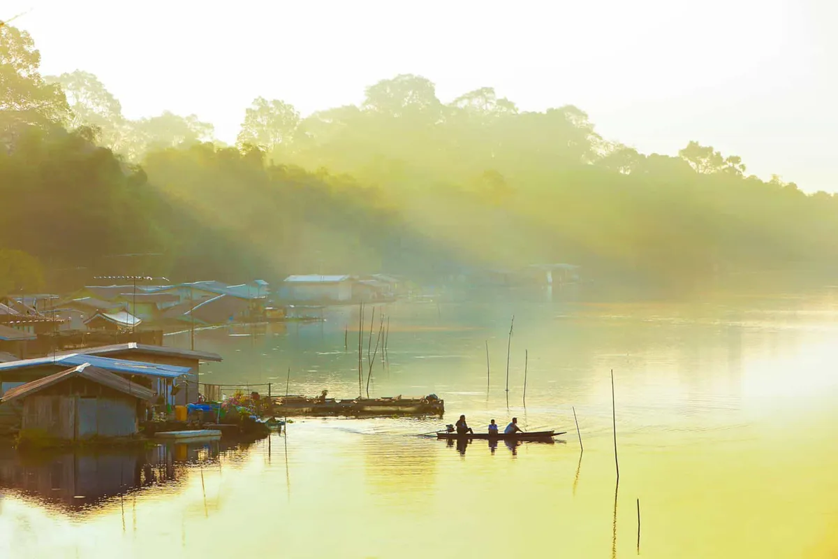
Most visitors come to cycle the island’s flat network of paths, which run through bamboo groves, cornfields, and rice paddies rather than any built-up area. This is farmland, not a resort island. Scooters cover the same routes if you’d rather skip the pedalling. The island remains one of Uthai Thani’s important wetland farming areas, growing rice, corn, and vegetables in the space between the two rivers.
From the suspension bridge, the view runs straight down two rivers rather than open water (the Sakae Krang to the south, the Chao Phraya to the north) with the municipal market’s rooftops visible on the Uthai Thani bank behind you.
Watch out: Ko Thepho floods in most rainy seasons, some years badly enough to cut bridge access and submerge low-lying paddies for two weeks or more. Check local conditions before planning a cycling trip between roughly August and October.
Insider Tip: The vehicle ferry near the bridge is the faster crossing if you’re driving. The suspension bridge is really built for foot and scooter traffic, and its approach can back up when the market is busy.
There’s no entry fee. This is a residential and farming area, not a ticketed attraction. Cross by the suspension bridge near the municipal market or by the vehicle ferry a little further along; either way you’re within a few minutes of central Uthai Thani.
- Entry fee: Free
- Getting there: Suspension bridge or vehicle ferry from Mueang Uthai Thani
- Activities: Cycling or scooter riding through rice paddies, cornfields, and bamboo groves
- Nearby: Wat Uposatharam, Sakae Krang River
- Watch out: Seasonal flooding, roughly August-October
Location & Directions
Mueang Uthai Thani, Uthai Thani
Uthai Thani, Thailand
Show your taxi or Grab driver
เกาะเทโพ
Frequently Asked Questions
Why is Ko Thepho called Thailand's largest freshwater island?
Is there an entry fee for Ko Thepho?
How do you get onto the island?
Does Ko Thepho flood?
Spotted something out of date or incorrect? Let us know
Stay Near Koh Thepho
Live prices for places closest to Koh Thepho: tap a pin to compare.