




Sakae Krang River
ลำน้ำสะแกกรัง
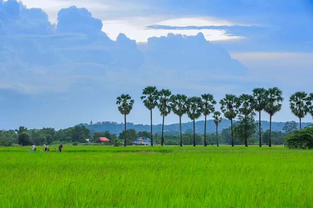
The Sakae Krang River runs about 225 km from its source near Khao Plai Huai Khaeng in Mae Wong National Park, Nakhon Sawan province, south through Nakhon Sawan into Uthai Thani, where it joins the Chao Phraya near Wat Tha Sung. It’s the river that gives Uthai Thani town its shape and its best-known sight: roughly 150 raft houses moored along its banks, the last such community left in Thailand.
Most of what people come to see sits within Uthai Thani town itself: the Sakae Krang Floating Village Community near Wat Uposatharam, where residents live on wooden rafts and raise fish in floating cages, and Khao Sakaekrang, a limestone hill overlooking the river a short distance away. The river as a whole adds its course, its annual festival, and the general experience of getting out on the water.
The river’s other signature event is an annual long-boat race for the Royal Cup, held on the water directly in front of Uthai Thani’s provincial hall. It runs during the rainy season, roughly late August through October, when monsoon flow raises the water enough to race. Decorated longboats crewed by rowing teams from across the province compete along a roughly 2 km stretch, drawing crowds along both banks. Sightseeing boats often run extra trips down to the race area on festival days, on top of the regular tourist runs past the raft houses.
Outside the festival, the river’s daily rhythm is fishing and transport rather than spectacle: longtail boats moving between rafts, cage-fed catfish and gourami checked morning and evening, and herons working the shallows. Evening light, roughly the hour before sunset, is when the water turns gold and boat traffic picks up as families head home, the best single window for a short ride.
Insider Tip: Combine a river trip with the raft-house village and a climb up Khao Sakaekrang for a hilltop view over the whole river. The three sights sit within a short walk or ride of each other in Uthai Thani town.
Watch out: During the rainy season the current runs faster and the water rises noticeably. Informal boatmen are generally cautious, but avoid swimming and keep valuables in a dry bag regardless of season.
Boats leave from piers near Uthai Thani town’s riverside market; there’s no fixed fare, so agree the price before setting off. Bring insect repellent and a hat: there’s little shade once you’re out on the water.
- Length: ~225 km, tributary of the Chao Phraya
- Source: Mae Wong National Park, Nakhon Sawan province
- Confluence: Joins the Chao Phraya near Wat Tha Sung, Uthai Thani
- Boat race: Annual Royal Cup long-boat race, roughly late August-October
- Getting on the water: Informal longtail boats from piers near Uthai Thani’s riverside market; agree the fare first
Location & Directions
Mueang Uthai Thani, Uthai Thani
Uthai Thani, Thailand
Show your taxi or Grab driver
ลำน้ำสะแกกรัง
Frequently Asked Questions
How long is the Sakae Krang River and where does it start?
Is this the same as the floating village attraction?
What's the boat racing festival?
Can I take a boat ride outside festival season?
When's the best time to visit?
Spotted something out of date or incorrect? Let us know
Stay Near Sakae Krang River
Live prices for places closest to Sakae Krang River: tap a pin to compare.