Mae Tho National Park
อุทยานแห่งชาติแม่โถ
Mae Tho National Park covers about 990 sq km of forested hill country straddling Hot and Mae Chaem districts in Chiang Mai province. Entry costs 300 THB for foreign visitors and 50 THB for Thai nationals, and the gate is open daily 08:00-16:30. The park’s high point, Doi Mae Tho, tops out at 1,699m, with the surrounding forest feeding Jaem Creek and Lid Creek below.
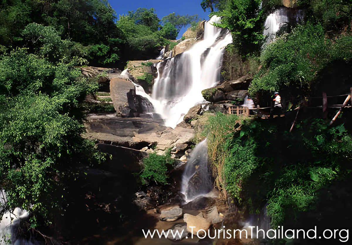
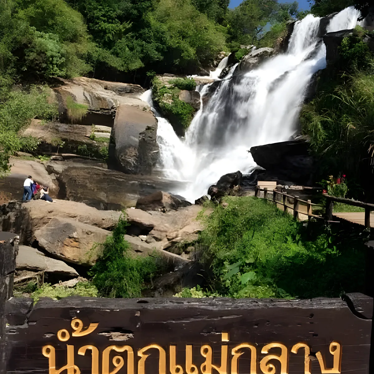
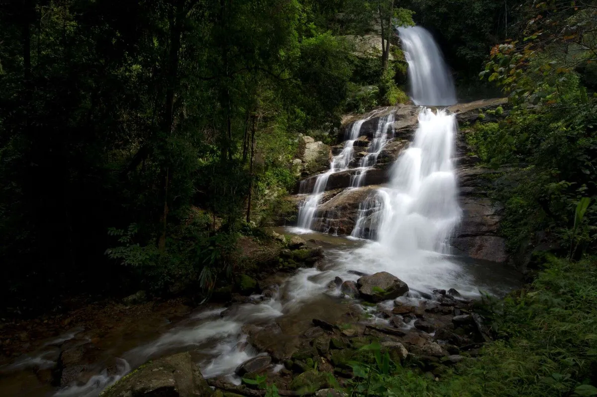
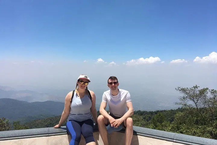
The park’s best-known stop is Mae Aep Waterfall, a 10-12m-wide cascade reached by a 1km trail about 6km from headquarters. Mae Toom Cave adds a different kind of attraction — stalactite and stalagmite formations shaped enough like temple pillars that the name refers to it, plus a resident bat colony that locals will point out with a flashlight. From the Doi Mae Tho viewpoint at the summit, the view opens onto grassland-covered hills partly managed by the local Hmong community for visitors, with valley-floor rice terraces below that turn gold around the November harvest before the dry season strips the colour back out. On a clear day, Doi Inthanon’s silhouette is visible on the horizon to the north — Thailand’s highest peak sits roughly two hours away by road and makes a natural pairing if you’re touring both parks.
The higher ground stays noticeably cooler than the Chiang Mai valley floor — expect temperatures as low as 8°C at dawn during the cool season, a sharp contrast to the daytime warmth once the sun’s up. The park’s streams also support canoeing when water levels allow, typically October through March, adding an activity beyond hiking and waterfall-viewing for visitors who plan ahead.
Insider Tip: Time your visit for November or December if you want both the golden rice terraces below and clear long-range views from the summit — by January the fields have usually been cut back to bare earth after harvest.
Watch out: The park’s own accommodation is limited to a handful of bungalows plus summit camping space — bring your own sleeping bag, food, and warm layers regardless of where you stay, since the higher elevations get cold overnight and supplies at headquarters aren’t extensive.
Getting here takes real planning: from Chiang Mai city, it’s Highway 108 toward Hot for about 89km, then Highway 108 toward Mae Sariang for another 54km to Ban Kong Loi, followed by roughly 16km on Provincial Highway 1270 to the gate. Most visitors treat this as an overnight trip rather than a day trip given the drive. Call ahead (0 5381 8348) to check bungalow and camping availability before setting out.
- Area: About 990 sq km across Hot and Mae Chaem districts
- Highest point: Doi Mae Tho, 1,699m
- Entry fee: 300 THB (foreigners), 50 THB (Thai nationals)
- Hours: Daily 08:00-16:30
- Highlights: Mae Aep Waterfall, Mae Toom Cave, Doi Mae Tho viewpoint
Location & Directions
13 village No.1
Chiang Mai, Thailand
Show your taxi or Grab driver
อุทยานแห่งชาติแม่โถ
Frequently Asked Questions
How much does it cost to enter Mae Tho National Park?
What is there to see inside the park?
Can you stay overnight in the park?
When is the best time to visit?
How do you get there from Chiang Mai city?
Spotted something out of date or incorrect? Let us know
Popular tours in Chiang Mai





Stay Near Mae Tho National Park
Live prices for places closest to Mae Tho National Park — tap a pin to compare.