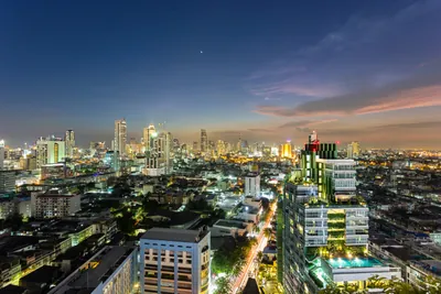





Vajiralongkorn Dam (Khao Laem Dam)
เขื่อนวชิราลงกรณ (เขื่อนเขาแหลม)
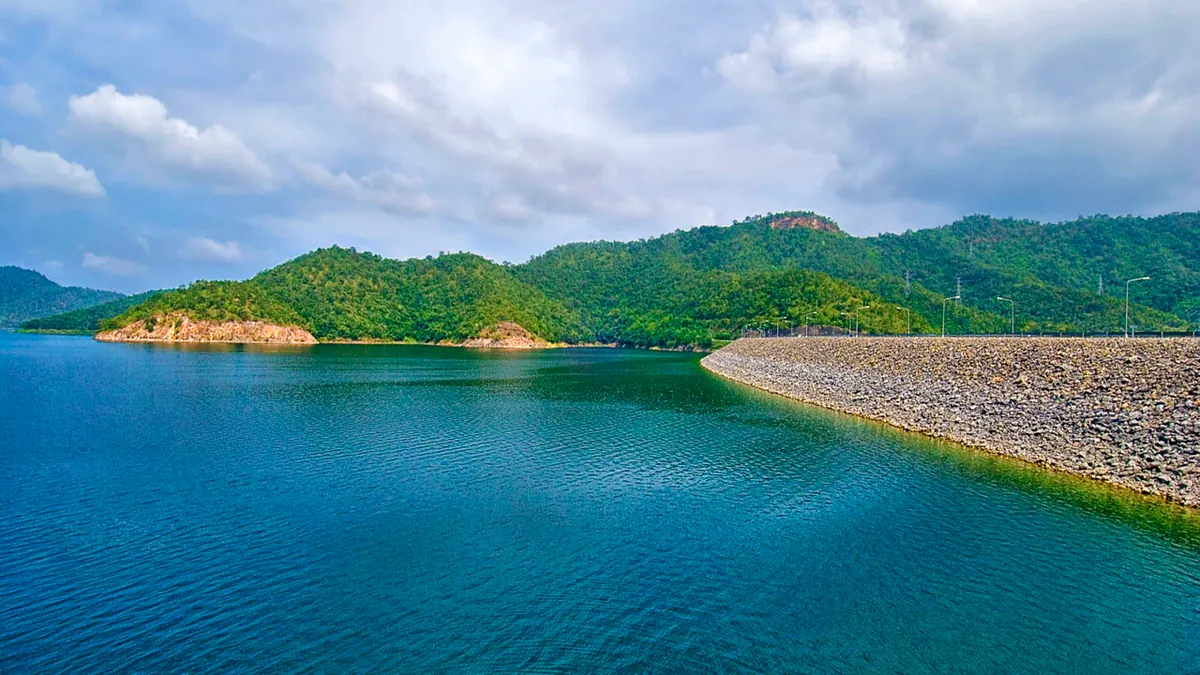
Vajiralongkorn Dam holds back the Khao Laem Reservoir in Thong Pha Phum district, western Kanchanaburi, a 92-metre rock-fill dam built by the Electricity Generating Authority of Thailand in 1984, when the rising water flooded roughly 40,000 hectares of valley to feed a 300MW hydroelectric station. The reservoir it created stretches more than 60km north toward Sangkhlaburi, and from the dam crest the view is mostly water: forested hills rising as islands from a lake that covers 388 square kilometres. Entry is free, and the dam is open daily from 6am to 6pm.
Walking the crest is the main activity: a long, flat concrete deck with the reservoir on one side and the valley below the dam wall on the other. A troop of monkeys hangs around the crest most afternoons, used enough to visitors that they’ll approach for food (best not to offer any; they get pushy). Near the visitor area there’s a modest row of shops and restaurants, a koi pond, and a footpath down toward the water where people swim and fish for snakehead and catfish. Bird watchers do well early morning along the reservoir edge, and the Pom Pi viewpoint nearby adds another angle on the lake.
Watch out: Don’t confuse this with the famous “sunken temple” boat tours. Those depart from near the Mon Bridge in Sangkhlaburi, about 70km north on the same reservoir, not from the dam itself. Coming here expecting to see submerged ruins from the crest will disappoint.
Cool season, November through February, gives the clearest air and the most comfortable temperatures for a walk along the crest; visit outside those months and expect haze and considerably more heat by mid-morning. The site gets a trickle of Thai day-trippers on weekends but rarely feels busy: this is a working EGAT facility with a viewing area attached, not a purpose-built tourist stop.
Insider Tip: If the submerged-temple boat trip is the real draw, base yourself in Sangkhlaburi rather than trying to combine it with a stop at the dam: the two sights sit at opposite ends of the same reservoir, roughly an hour and a half apart by road.
The dam is about 7km northwest of Thong Pha Phum town, close to two hours from Kanchanaburi town and 3.5-4 hours from Bangkok by road. Self-drive or a hired car is the practical way in; there’s no direct public transport to the dam itself. For more of the same reservoir system with a 23-tier waterfall and trails, Khao Laem National Park covers the Sangkhlaburi end of the lake.
- Entry fee: Free
- Hours: Daily 6am-6pm
- Height: 92m rock-fill dam, built 1984, run by EGAT
- On site: Dam-crest walk, monkey troop, fishing, swimming, Pom Pi viewpoint
- Sunken temple tours: Depart from Sangkhlaburi, ~70km north, not from the dam
Location & Directions
Pha Phum, Kanchanaburi
Kanchanaburi, Thailand
Show your taxi or Grab driver
เขื่อนวชิราลงกรณ (เขื่อนเขาแหลม)
Frequently Asked Questions
Is there an entrance fee for Vajiralongkorn Dam?
Can you see the famous sunken temple from here?
What is there to do at the dam itself?
Is Vajiralongkorn Dam the same place as Khao Laem Dam?
How do I get to the dam from Kanchanaburi town?
Spotted something out of date or incorrect? Let us know
Popular tours in Kanchanaburi




Stay Near Vajiralongkorn Dam (Khao Laem Dam)
Live prices for places closest to Vajiralongkorn Dam (Khao Laem Dam): tap a pin to compare.