




Hat Chiang Rai
หาดเชียงราย (พัทยาน้อย)
Hours from the venue's Google Maps listing, synced 7 Oct 2026
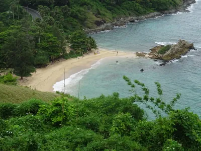
Hat Chiang Rai is a sandbank along the Mae Kok River in Ban Pa Ngio, Rop Wiang subdistrict, about 5 km from central Chiang Rai. It’s free, open year-round, and known locally as “Pattaya Noi” (Little Pattaya) because the pale sand exposed at low water resembles a sea beach, even though this is a river, not the coast.
What’s on the sandbank
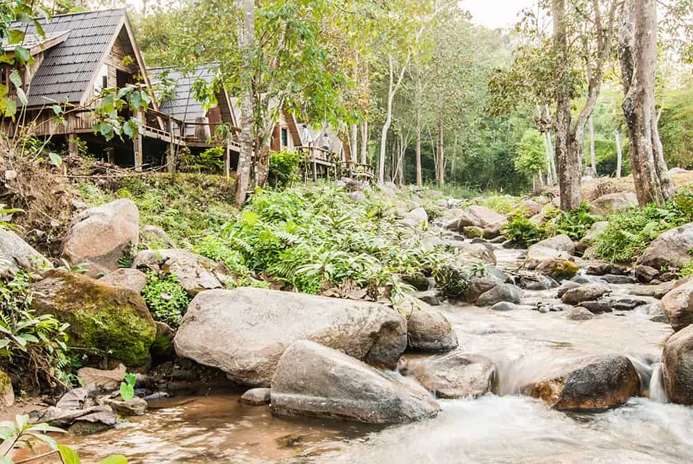
The sandbank runs roughly 1.2 km along the Kok, backed on one side by limestone hills that rise close to the water near Ban Pa Ngio. The karst outcrops and stalactite formations across the river are what several Thai visitor accounts single out as the area’s best view, not just the sand. Riverside restaurants and raft-house eateries (เรือนแพ) line the bank, serving the kind of grilled fish and northern Thai dishes you’d expect at a local river spot rather than a tourist strip. There’s also a sports ground and a health park (ลานกีฬา, สวนสุขภาพ) nearby, which is where you’ll actually find Chiang Rai residents on a normal evening: walking laps, playing takraw, or just sitting by the water after work.
Not a swimming beach
Watch out: how much sand is showing depends entirely on the river level. Visit in the dry season, roughly November through April, and the sandbank is wide and walkable. Come during or right after the rainy season and the Kok runs higher, narrowing or submerging the exposed sand. The “beach” effect the name promises may simply not be there.
This isn’t a swimming destination in the way a Gulf or Andaman beach is: there’s no lifeguard, no marked swimming area, and the current in the main channel can be stronger than it looks from the bank. Most visitors treat it as a place to walk, eat, and watch the river rather than a place to swim.
Planning your visit
Insider Tip: Come in the late afternoon when the raft-house restaurants fill up with locals rather than at midday: the heat off the exposed sand is intense by noon, and the light for photos is far better a couple of hours before sunset.
- What it is: A ~1.2 km sandbank on the Mae Kok River, not a sea beach
- Location: Ban Pa Ngio, Moo 4, Rop Wiang subdistrict, Mueang Chiang Rai: about 5 km from town
- Entry: Free, no set hours
- Best season: Dry season (Nov-Apr) for maximum exposed sand
- On site: Riverside restaurants, raft-house eateries, an adjoining sports ground and health park
Nearby
The same river continues past the Mae Kok River more broadly, and Chiang Rai’s Walking Street night market is a short drive back toward the city center if you’re combining a riverside evening with dinner and shopping.
Location & Directions
Mu 4, Rop Wiang, Mueang Chiang Rai 57000
Chiang Rai, Thailand
Show your taxi or Grab driver
หาดเชียงราย (พัทยาน้อย)
Frequently Asked Questions
Is this connected to Pattaya on the Gulf coast?
Is Hat Chiang Rai an actual beach?
Where exactly is it?
Is there an entry fee?
What can you actually do there?
When is the sandbank at its best?
Spotted something out of date or incorrect? Let us know
Popular tours in Chiang Rai






Stay Near Hat Chiang Rai
Live prices for places closest to Hat Chiang Rai.