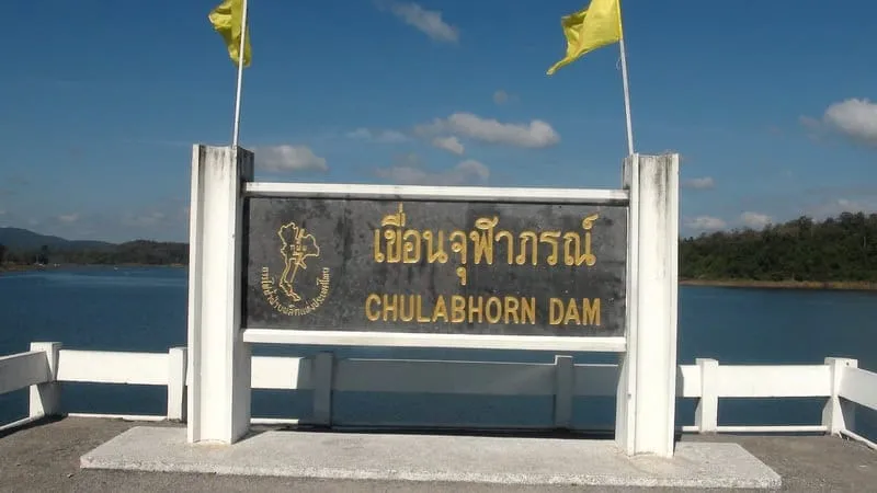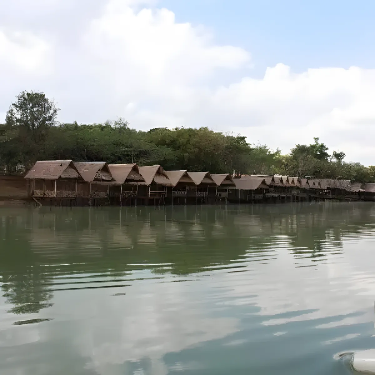





Huai Kum Dam is a rock-and-earthfill dam with a clay core, not concrete, standing 35.5 metres high with a crest 282 metres long and 8 metres wide, built at Ban Pak Huai Kum in Nong Phon Ngam subdistrict, Kaset Sombun district. Its job is straightforward: catch and hold the water released from Chulabhorn Dam upstream so it can be released steadily for irrigation downstream, rather than in one uncontrolled surge. That practical purpose is also why it’s underdeveloped for tourism: there’s no visitor center, boat rental, or restaurant row, just the dam wall and the stream below it.
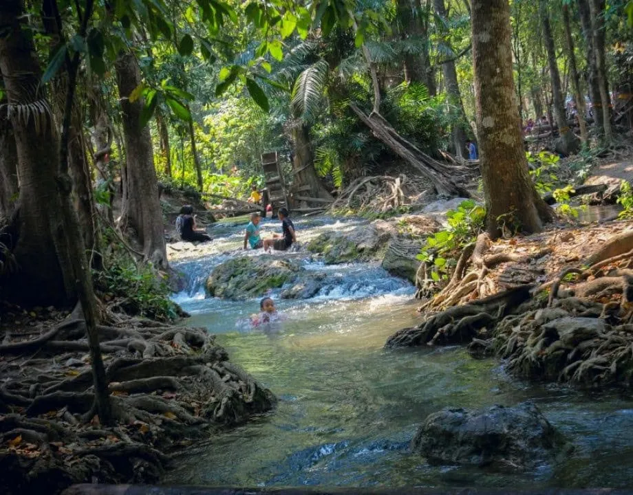
The real draw is the stretch of river directly below the dam, where the outflow from Chulabhorn forms shallow pools and slow-moving channels that locals and visiting families wade and swim in, especially on weekends. A network of hiking trails runs along the reservoir’s forested edge, and camping is possible on the grounds near the dam. Bring your own gear, as there’s nothing to rent on site. The reservoir itself, upstream of the wall, is broad and mostly used by local fishers rather than tour boats; it’s not set up for recreational cruising.
Watch out: There’s minimal shade along the dam crest and the trails, and no shops nearby for water refills once you’re past the entrance road. Bring more than you think you’ll need, especially March to May when Isan daytime highs regularly clear 35°C.
Getting here means a car or motorbike from Kaset Sombun district town (about 32km) or Chaiyaphum’s provincial capital (about 102km). There’s no direct public bus to the dam itself, so a rented vehicle or a pre-arranged songthaew is the only realistic option. November to February brings cooler air and clearer views for the drive; rainy season (June-October) fills the reservoir higher but also swells the stream below the dam, so check conditions before wading in.
- Entry fee: Free
- Hours: Daily 08:30-16:30
- Dam type: Rock/earthfill with clay core, 35.5m high, 282m crest
- Distance: ~32km from Kaset Sombun town, ~102km from Chaiyaphum city
- Nearby: Chulabhorn Dam (Nam Phrom Dam) upstream
Location & Directions
Kaset Sombun, Chaiyaphum
Chaiyaphum, Thailand
Show your taxi or Grab driver
เขื่อนห้วยกุ่ม
Frequently Asked Questions
What kind of dam is Huai Kum Dam?
Is there an entry fee?
What is there to do at Huai Kum Dam?
How far is it from Chaiyaphum town?
Is Huai Kum Dam the same as Chulabhorn Dam?
Spotted something out of date or incorrect? Let us know
Stay Near Huai Kum Dam
Live prices for places closest to Huai Kum Dam: tap a pin to compare.