


DepositPhotos (standard license)
Ban Khiri Wong
บ้านคีรีวง
Eco-village at the foot of Khao Luang mountain with waterfalls and fruit orchards.
Recommended by us

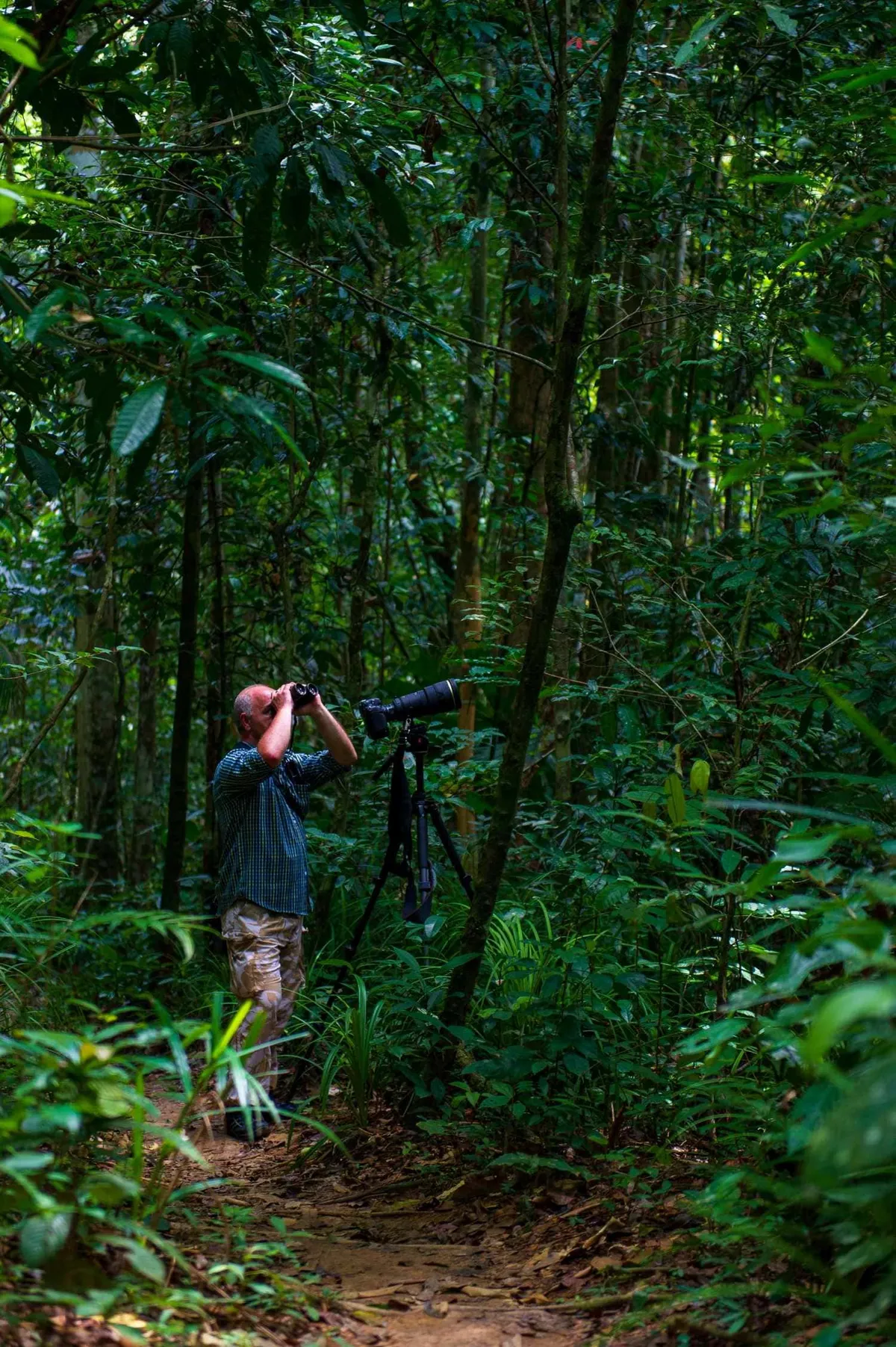
Khao Luang National Park
One of the south's highest peaks and a serious birding destination. The forest trails start from Ban Khiri Wong — hire a local guide for the upper routes.

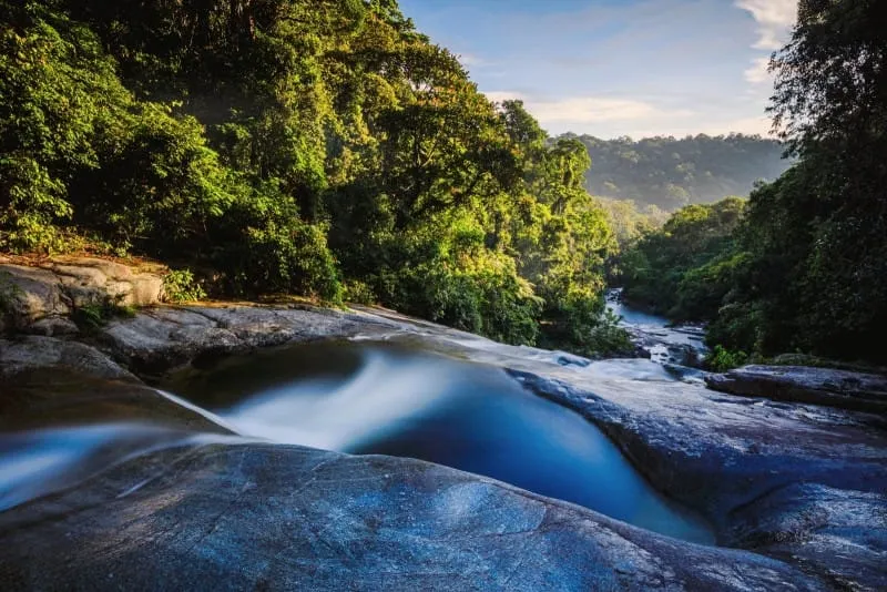
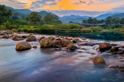
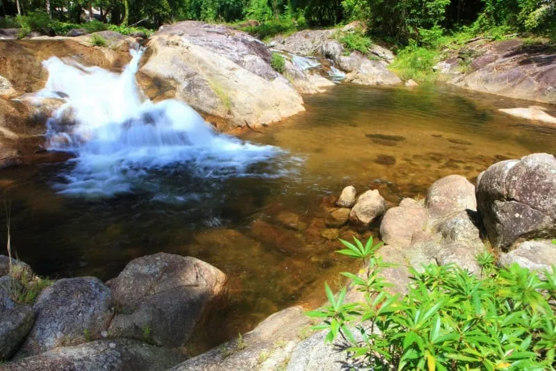
Ai Khiao waterfall
The most accessible waterfall from Ban Khiri Wong — a short walk through orchard land. Best after the wet season when the flow is strong.

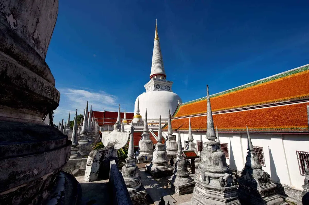
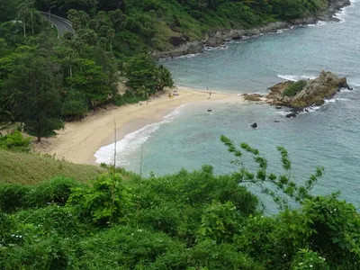
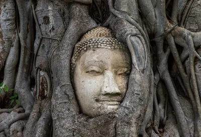
Wat Phra Mahathat
The great temple of Nakhon Si Thammarat — one of the most important in southern Thailand, with a 77-metre chedi. A day-trip from Ban Khiri Wong and worth the drive.
Get to Nakhon Si Thammarat
Fly into Nakhon Si Thammarat Airport or take the overnight train — Ban Khiri Wong village is about 30km from town by songthaew.


eSIM for Thailand
Land with data already working and skip the airport SIM queue. We tested six plans — code THAIHOLIDAY saves 10%.

Travel insurance
Trekking and trail walking around Khao Luang can be strenuous — sort cover before you go and check it includes hiking.
Top sights & experiences
Things to do in Ban Khiri Wong

When to go
Jan–Feb Peak season for the famous 'sea of mist' — cool mornings at the foot of Khao Luang bring low cloud rolling through the valley. Excellent trekking conditions and the cleanest air the village offers all year.
Mar–May Temperatures rise but the inland elevation keeps Ban Khiri Wong cooler than the coast. Mist thins out by April; fruit orchards are coming into blossom. A quiet, unhurried time at the village.
Jun–Sep Longkong and mangosteen harvests run July–September — the village is at its most fragrant and local fruit stalls are well-stocked. Waterfalls inside Khao Luang National Park flow strongly. Occasional afternoon showers are brief.
Oct–Dec Northeast monsoon brings heavy rain inland; the road to Ban Khiri Wong can be muddy and difficult in November. Waterfalls are spectacular but trekking routes get slippery. Mist season returns by late December.
More to explore around Nakhon Si Thammarat

About Ban Khiri Wong
Last updated July 2026
Ban Khiri Wong, also spelled Khiri Wong, is a village in Nakhon Si Thammarat Province, southern Thailand. Known as the best ozone area in Thailand, this village is located in the Kamlon, Lan Saka district. It spans over 90.42 square kilometers and encompasses five villages. Bordered by Yodpon Mountain to the north, Huay Sang Mountain to the south, Ringo Mountain to the east, and Khao Luang Mountain to the west, this village is approximately 20 kilometers from the provincial capital of Mueang Nakhon Si Thammarat. Due to its location in the central Malay peninsula and being surrounded by mountains, Khiri Wong experiences monsoon rains throughout the year and has a relatively cooler climate compared to lower areas. The average annual rainfall is between 3,500 to 4,000 millimeters, with temperatures ranging from 15–17 °C in December to 28–30 °C in April. Historically, Khiri Wong has been situated in this area for over 200 years. Formerly known as Bann Khun, it was renamed “Baan Khiriwong” according to the name of the Khiriwong temple, which means “House within the circle of the mountain.” In the past, it was considered a remote area prone to natural disasters like flash flooding and was also a site for the Communist Party of Thailand in the 1970s. The village economy largely depends on fruit cultivation, with many orchards present. It is advertised to tourists as having the best air in Thailand, offering a variety of activities such as riding a bicycle around the village, tasting local foods and fruits, batik making, and swimming in shady streams and waterfalls. Ban Khiri Wong is an ancient community that settled at the foot of Khao Luang, near a path that goes up the mountain. The community experienced a disaster on November 21, 1988, when a flash flood swept away around 100 houses. The local monastery and villagers still maintain the damaged convocation hall and houses as monuments to those who perished. The village won the 1998 Thailand Tourism Award in the city and community category and is considered a prototype of eco-tourism management. Residents have developed tourism services through the Eco-tourism Club, offering services like trekking tours, porters, and homestay programs. The most attractive time to visit is when fruits are on sale from July to September. Trekking up Khao Luang must start at Ban Khiri Wong, and the village can be reached by taking a mini-bus from Talat Yao or driving on the Amphoe Mueang-Lan Saka route.
Frequently Asked Questions about Ban Khiri Wong
How do I get to Ban Khiri Wong?
When is the best time to visit Ban Khiri Wong?
What can I do in Ban Khiri Wong?
Is Ban Khiri Wong suitable for a day trip or should I stay overnight?
What is Khao Luang and can I climb it from the village?
Spotted something out of date or incorrect? Let us know
Plan your
Ban Khiri Wong trip