




Hat Chom Mani is a sand beach that appears on the Mekong River bank in Nong Khai when the dry season drops the water level, roughly December through April. It’s a freshwater riverbank, not a sea beach, about 2 km from Nong Khai town centre. Entry is free.
The sand stretches for a couple of hundred metres along the river, disappearing again once the rains raise the water from around June onward. From the beach you can see the Thai-Lao Friendship Bridge downstream and the Laos side of the river across the water. Watch out: the exposed sand is easy walking, but the river’s main channel has real current. Stick to wading near the shore rather than swimming out.
Locals nickname it “the Pattaya of Isaan” for how packed it gets with day-trippers during the dry season, especially in April, not because it looks anything like the real Pattaya beach on the Gulf coast. Families set up mats on the sand, food and drink vendors line the bank, and sunset over the river is the main draw, with the sun dropping behind the Laos side.
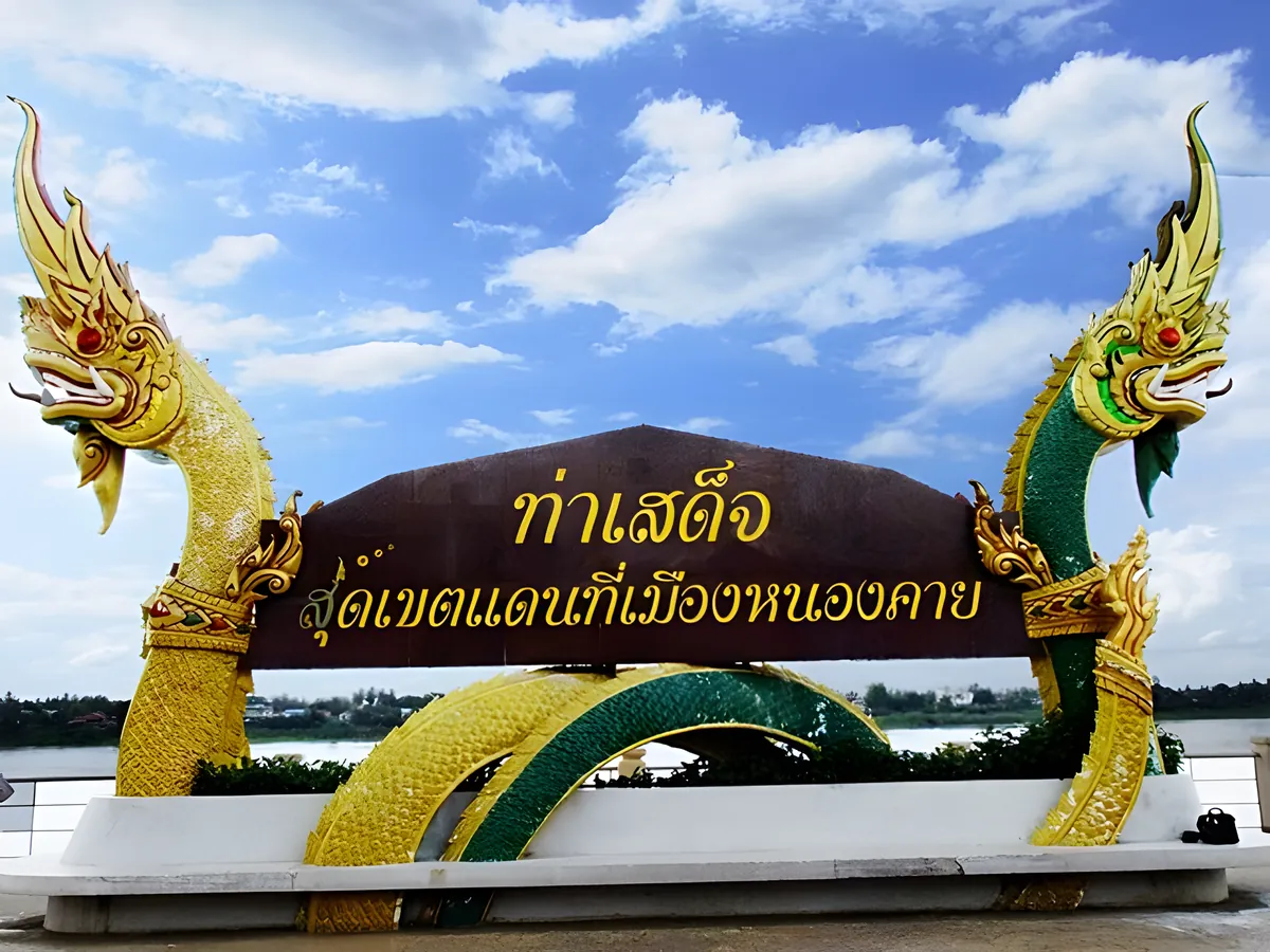
Insider Tip: Go in April for the widest stretch of exposed sand and the biggest weekend crowds, or aim for a weekday if you’d rather have more space. Pair it with Ta Sadet Market in town, Nong Khai’s riverside night market, a short ride away.
Nong Khai itself is a Mekong border town facing Vientiane, and the beach’s appeal is largely local: Isaan families and Nong Khai residents rather than international package tours. That’s part of what makes it worth a stop if you’re already in town for the temples or the border crossing: it’s a genuine slice of how Nong Khai spends a dry-season afternoon, not a place built for tourists. Once the rains return, the sand vanishes entirely and the site reverts to ordinary riverbank until the next dry season.
- What it is: Seasonal Mekong River sandbar, not a sea beach
- When it appears: Roughly December–April (dry season)
- Entry: Free
- Distance from Nong Khai town: About 2 km
- View: Thai-Lao Friendship Bridge and the Laos riverbank
Location & Directions
Mueang Nong Khai, Nong Khai
Nong Khai, Thailand
Show your taxi or Grab driver
หาดจอมมณี
Frequently Asked Questions
Is Hat Chom Mani a sea beach?
When does the sand actually appear?
Why is it nicknamed the "Pattaya of Isaan"?
Is it safe to swim there?
How do I get there from Nong Khai town?
Spotted something out of date or incorrect? Let us know
Stay Near Hat Chom Mani
Live prices for places closest to Hat Chom Mani: tap a pin to compare.