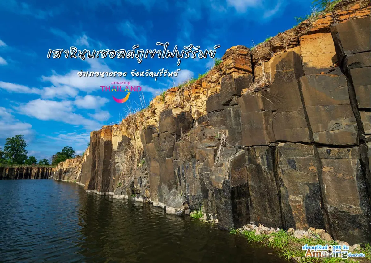
Khao Angkhan is an extinct volcano in Chaloem Phra Kiat district, Buriram province, one of several dormant cones in this part of Isan, alongside Khao Kradong closer to town. Weathered basalt and limestone outcrops break through dry dipterocarp forest on its slopes, and the hiking trails that climb from the car park are free to walk, with no ticket booth at the base.
The main path climbs through forest before opening onto exposed rock near the ridge, where the wind carries the smell of dry earth and the calls of drongos and bulbuls echo through the canopy. Small caves and hollows worn into the rock by generations of monsoon rain offer brief shade and places to rest along the way. Above the treeline, the views open out over the rice paddies and sugarcane fields of Chaloem Phra Kiat district, flat, green-and-gold country that runs toward the hills along the Cambodian border on a clear day.
Insider Tip: Start before 7 AM. By mid-morning the exposed upper trail heats up fast, and the haze that builds over the plains by 10 AM flattens the long-distance views that make the climb worthwhile.
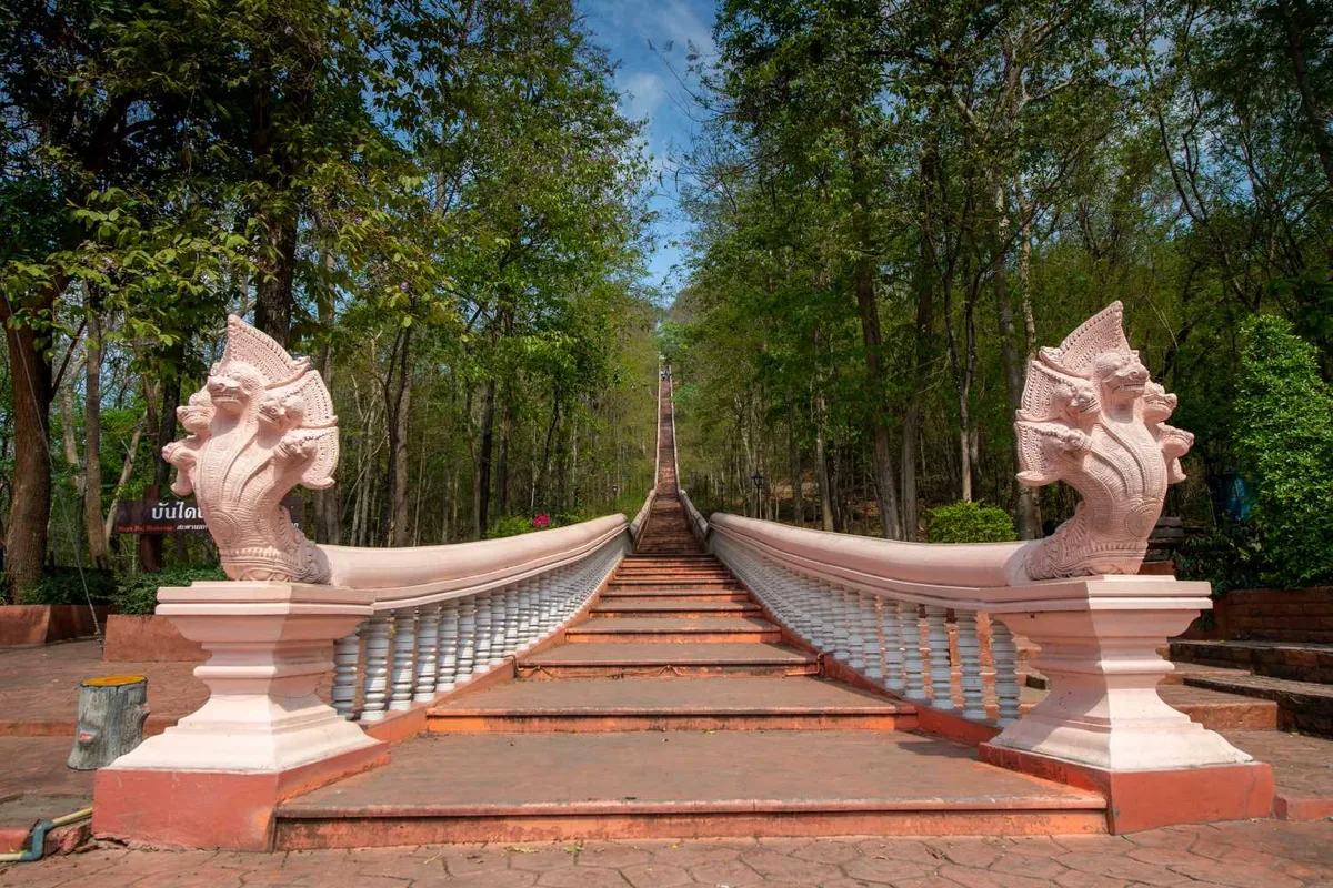
The same hill also holds Wat Khao Angkharn, a temple with a 29-metre gold reclining Buddha built on foundations dating to the Dvaravati-Khmer period, a separate stop from the open hiking trails covered here, though close enough to fold into the same visit. Both places get called “Khao Angkhan” locally, so it’s worth confirming which one a map pin or driver actually means before you set off.
Watch out: There’s no public transport to Khao Angkhan, and no shade over most of the upper trail. Carry more water than feels necessary, and avoid the climb between roughly noon and 3 PM when the heat peaks.
Getting here means arranging your own transport. A rented car or motorbike from Nang Rong is the standard route, about 20 km away, or a mototaxi arranged locally for roughly 300 THB one-way. Buriram city itself is about 60 km north. This is a half-day trip best combined with the Khmer ruins at Phanom Rung rather than a stand-alone outing.
- Entry: Free, no gate or ticket booth
- Distance: ~60 km from Buriram city; ~20 km past Phanom Rung via Nang Rong
- Getting there: Own vehicle only: no public transport
- Best time: Early morning, before heat and haze build
- Nearby: Wat Khao Angkharn (summit temple), Phanom Rung Historical Park
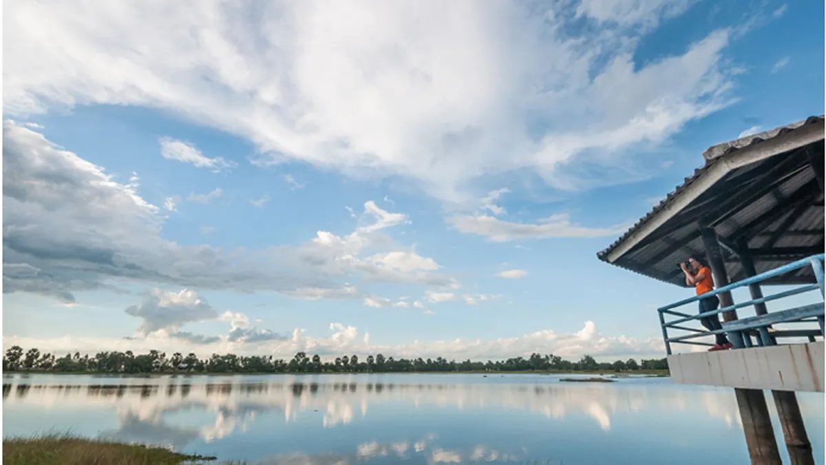
Pair the hike with the Khmer sanctuary at Phanom Rung Historical Park and, if time allows, a stop at Thung Laem Reservoir on the drive back toward Buriram city.
Location & Directions
Chaloem Phra Kiat, Buri Ram
Buriram, Thailand
Show your taxi or Grab driver
เขาอังคาร
Frequently Asked Questions
Is Khao Angkhan the same place as Wat Khao Angkharn?
How far is Khao Angkhan from Buriram city?
Is there an entry fee?
Do I need a guide to hike it?
What should I bring?
Spotted something out of date or incorrect? Let us know
Stay Near Khao Angkhan
Live prices for places closest to Khao Angkhan: tap a pin to compare.