Khao Lak-Lam Ru National Park
อุทยานแห่งชาติเขาหลัก-ลำรู่
Khao Lak-Lam Ru National Park covers the stretch of Andaman coastline and inland hills that gives the Khao Lak resort area its name, in Takua Pa district, Phang Nga province. The park mixes rainforest, beach forest, and mangrove across a run of named peaks (Khao Lak, Khao Lam Ru, Khao Saeng Thong, Khao Mai Kaew, and Khao Plai Bang Thoe) with the highest point reaching about 1,077 metres above sea level. Those hills feed several small rivers that drain toward the Takua Pa and Phang Nga rivers, and the park boundary runs down to the coast itself, so the terrain shifts from forest trail to rocky headland to open sand within a short walk.
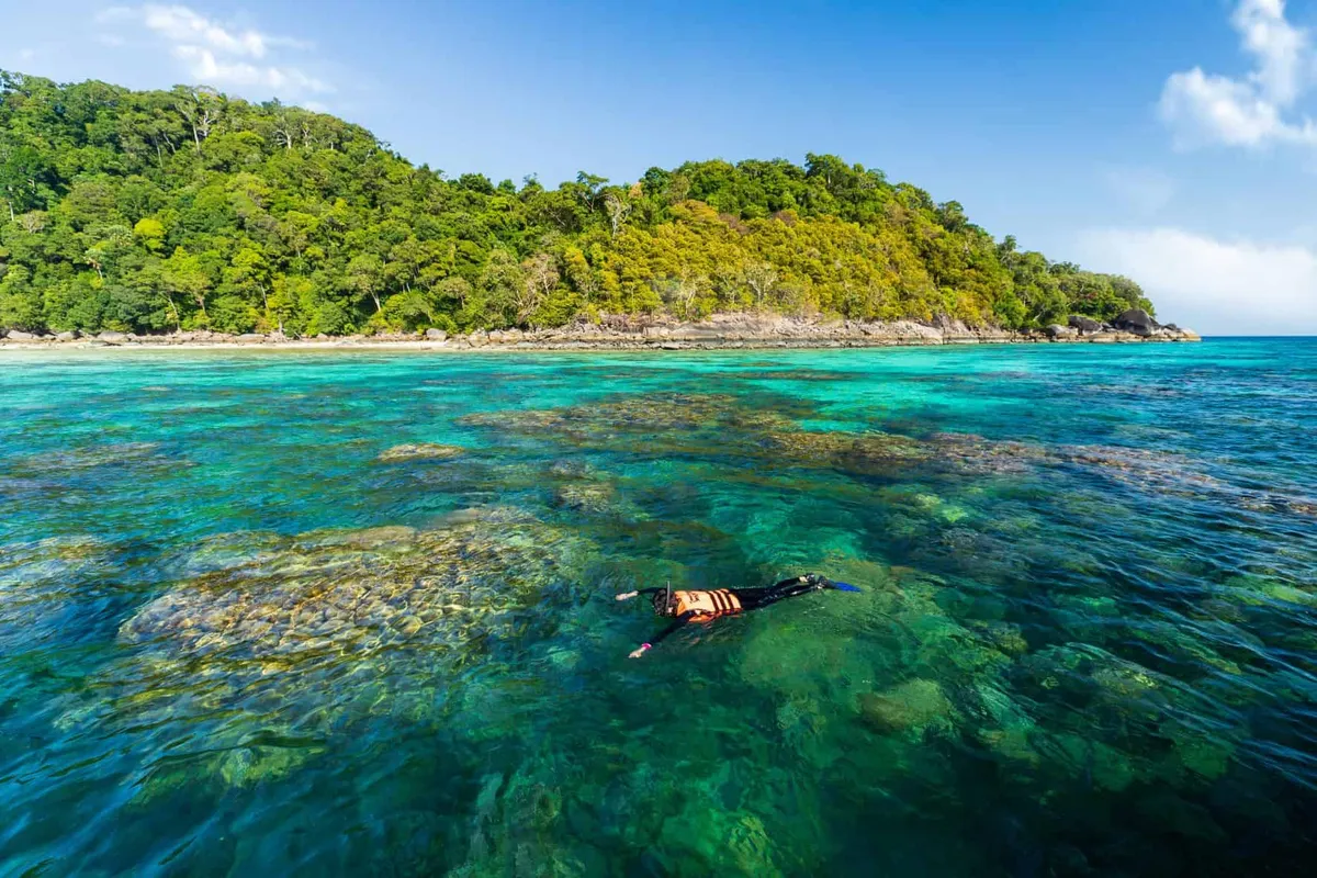
Hat Khao Lak, the sandy beach for which the whole area is named, sits inside the park near the headquarters, a straightforward stretch for swimming and walking, backdropped by casuarina trees rather than resort development. Hat Lek, about 1.4km from the park office, adds a rockier shoreline with a coral-reef fringe and a couple of viewpoints. Inland, Ton Chong Fa Waterfall drops from a 200-metre hillside and has its own marked nature trail. It’s covered as a separate attraction, but the entry ticket here includes it. Lam Ru Waterfall, a five-tier cascade, and the smaller Phrao and Hin Lad waterfalls (both fed by the Plai Bang Thoe canal) round out the park’s inland trail network, though water flow at all of them drops sharply outside the rainy season.
Insider Tip: Visit December-February for the best combination of dry trails and still-flowing waterfalls. Later in the dry season (March-April) the smaller falls can slow to a trickle.
Watch out: Trail signage inland is basic in places. Stick to marked paths, and check with the park office before attempting the longer forest routes if you’re not with a guide.
- Entry fee: 100 THB (foreign adults), 50 THB (foreign children), 20 THB (Thai adults), 10 THB (Thai children)
- Hours: Daily, roughly 08:00-16:30
- Highest peak: About 1,077 metres above sea level
- Included in your ticket: Hat Khao Lak, Hat Lek, and Ton Chong Fa Waterfall the same day
- Getting there: Park headquarters sits just off Phetkasaem Road (Highway 4), north of central Khao Lak
The park has guesthouses, a campsite, and a few shops near the headquarters if you want to stay inside rather than commute from Khao Lak town. By car, follow Highway 4 (Phetkasaem Road) north from Khao Lak. The turn-off is marked by the Por Ta Khao Lak shrine, a well-known local landmark. Buses running the Bangkok-Phuket or Bangkok-Takua Pa route from Bangkok’s Southern Bus Terminal pass the park, and from Phuket International Airport you can catch a bus running Phetkasaem Road toward Thai Mueang district. For the beach itself, pair a stop here with Bang Sak Beach further north or a day trip out to the Similan Islands via Thap Lamu Pier.
Location & Directions
Khaolak-Lamru National Park
Khao Lak, Thailand
Show your taxi or Grab driver
อุทยานแห่งชาติเขาหลัก-ลำรู่
Frequently Asked Questions
How much does Khao Lak-Lam Ru National Park cost to enter?
What's inside the park besides the beach?
Is Hat Khao Lak beach inside the national park?
When is the best time to visit?
How do you get to Khao Lak-Lam Ru National Park?
Spotted something out of date or incorrect? Let us know
Popular tours in Khao Lak






Stay Near Khao Lak-Lam Ru National Park
Live prices for places closest to Khao Lak-Lam Ru National Park: tap a pin to compare.