Lam Nang Rong Dam
เขื่อนลำนางรอง
Lam Nang Rong Dam exists because of a royal command dated 31 October 1978: King Bhumibol met the Royal Irrigation Department’s director-general and told him to develop the whole Lam Nang Rong watershed, an area in Non Din Daeng district of Buriram that was suffering both drought and, at the time, cross-border raiding along the Thai-Cambodian frontier. A smaller reservoir went up first at Khlong Manao in 1979, then the main earth dam here, roughly 23 metres high and 1,500 metres long, was built from 1979 and completed in 1982.
The reservoir today
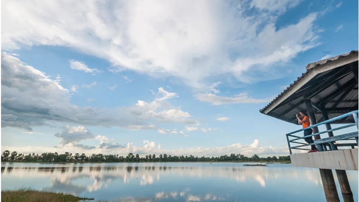
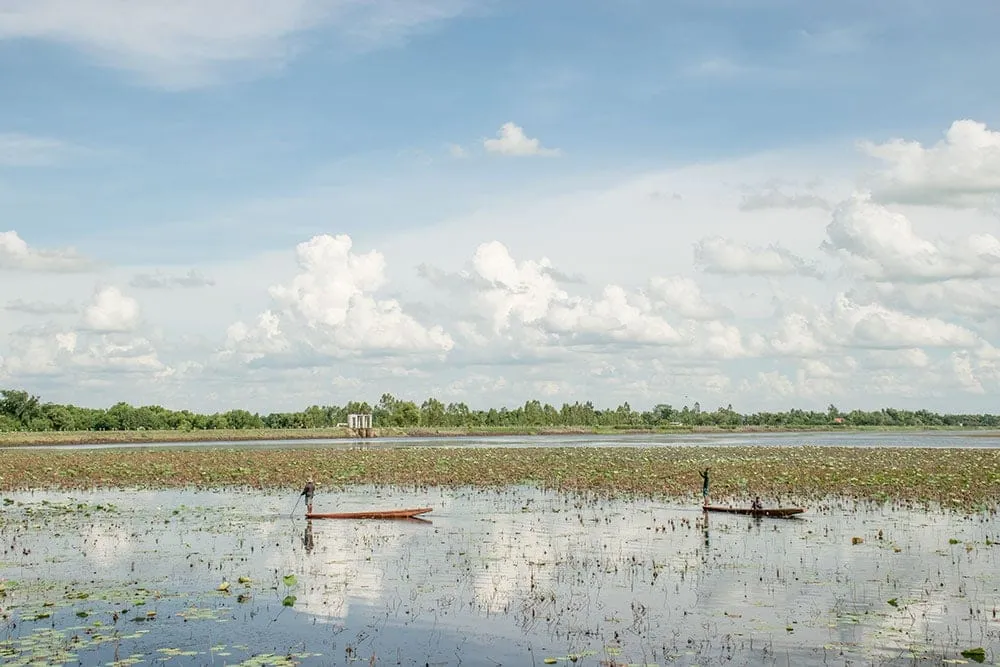
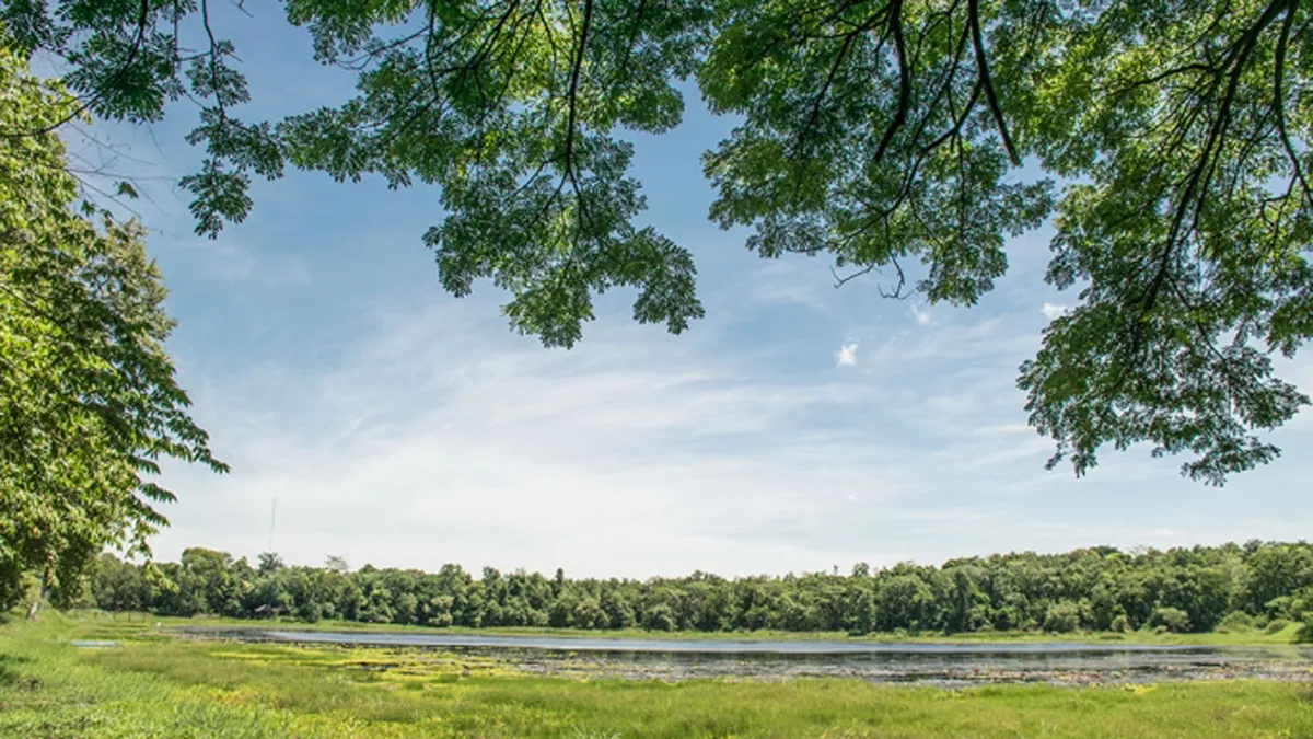
It now holds enough water to supply farmland across dozens of villages in the district, and locals call the reservoir “the sea of Buriram”, a nod to the fact that this landlocked province has no coastline, so a large, clear freshwater lake with a sandy shoreline is the closest thing on offer. It’s open daily from 08:30 to 22:00, and entry is free. Swimming is the main activity: the shore has rentable life jackets and inflatable tubes, and food and drink vendors set up along the water’s edge. Walking the dam crest gives wide views over the reservoir and the rice paddies beyond it; vehicles aren’t allowed on the crest itself, so park below and walk in.
There’s no beach in the seaside sense: the “sea of Buriram” nickname is about the scale of open freshwater rather than sand and surf, and the shoreline is a mix of grassy bank and small sandy patches where vendors set up. The water stays busiest with local families on weekends and in the hot season, when the swimming draw is strongest.
Staying overnight
Beyond the day-visit crowd, the Royal Irrigation Department’s own Lam Nang Rong Water Supply and Maintenance Project office (set up in 1986 under Regional Irrigation Office 8 to manage water allocation for local farmers) runs guesthouses, a meeting room, and a camping ground on site. It’s a working irrigation facility rather than a resort, so expect basic government-run accommodation rather than hotel-standard rooms, and check current availability by phone before turning up expecting a bed.
Insider Tip: Weekday mornings are quietest, before the vendor stalls fill in and before the midday heat makes the mostly shadeless dam crest uncomfortable.
Watch out: Life jackets are available but not mandatory, and there’s no lifeguard service. Supervise children closely in open water sections away from the shallow swimming area.
Getting there
Non Din Daeng district sits roughly 80 km south of Buriram town, closer to the Cambodian border than the provincial capital. There’s local transport into the district, but a car or motorbike makes it far easier to time a visit for the cooler morning or evening hours. Bring sun protection and drinking water, since shade along the dam itself is limited. If you’re combining it with a wider Buriram trip, Phanom Rung Historical Park is roughly an hour’s drive north.
- Location: Non Din Daeng subdistrict and district, Buriram, ~80 km south of Buriram town
- Entry: Free
- Hours: Daily 08:30-22:00
- Built: Royal command 31 October 1978; earth dam ~23 m high, ~1,500 m long, completed 1982
- Activities: Swimming (tube/life-jacket rental), walking the dam crest, lakeside food stalls, RID guesthouses and camping
Location & Directions
Non Din Daeng, Buri Ram
Buriram, Thailand
Show your taxi or Grab driver
เขื่อนลำนางรอง
Frequently Asked Questions
Why was Lam Nang Rong Dam built in the first place?
Can you stay overnight at the dam?
Can you swim at Lam Nang Rong Dam?
Is there an entry fee?
Why is it called "the sea of Buriram"?
How do I get there from Buriram town?
Spotted something out of date or incorrect? Let us know
Stay Near Lam Nang Rong Dam
Live prices for places closest to Lam Nang Rong Dam: tap a pin to compare.