




Sadue Isan
สะดืออีสาน
Sadue Isan (literally “the navel of Isan”) marks the calculated geographic centre-point of Northeast Thailand, on open ground east of Ban Khwa School in Kosum Phisai district. It’s a landmark and small park beside Bueng Kui, a large natural pond, not a cultural centre or crafts village. Entry is free and there’s no gate. The grounds are open through daylight hours.
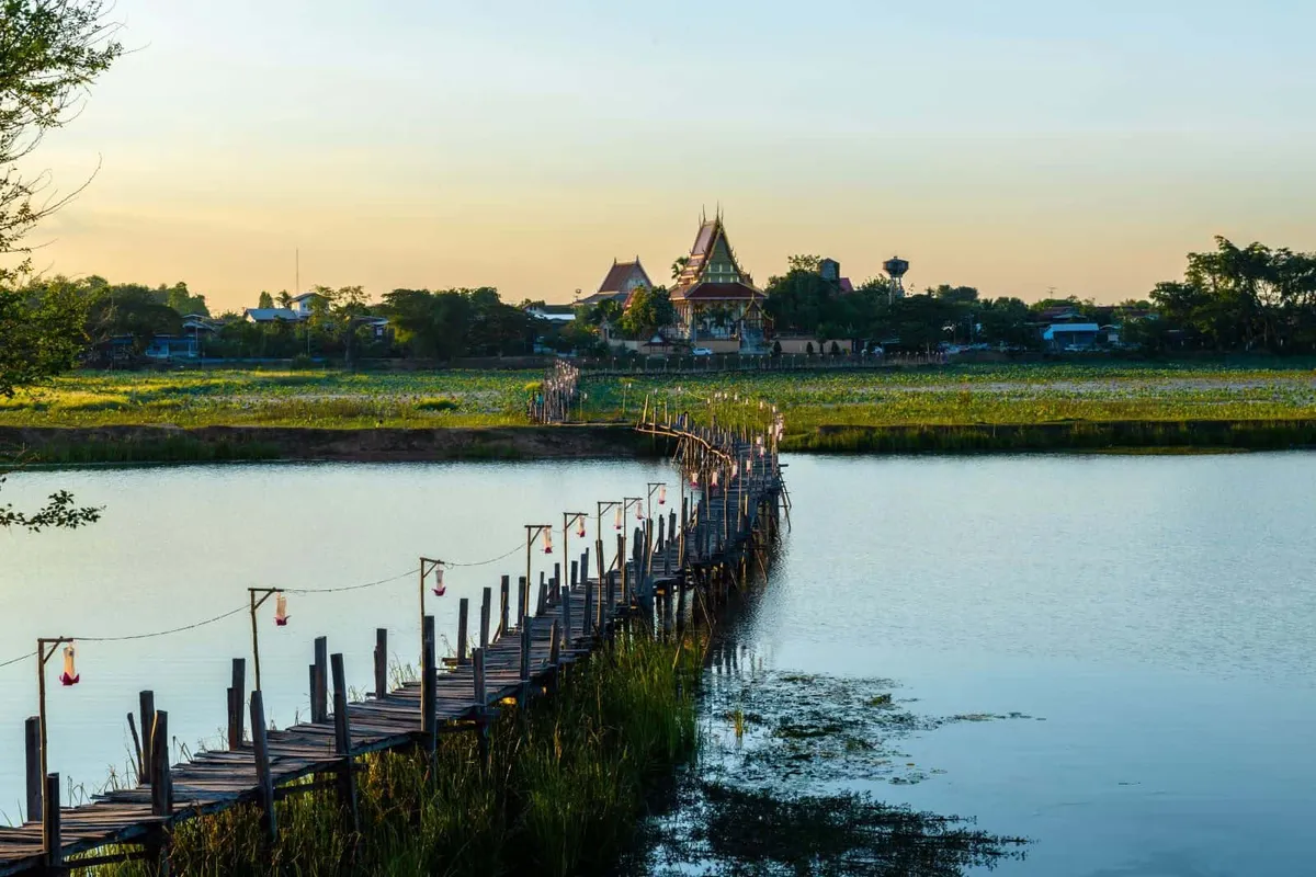
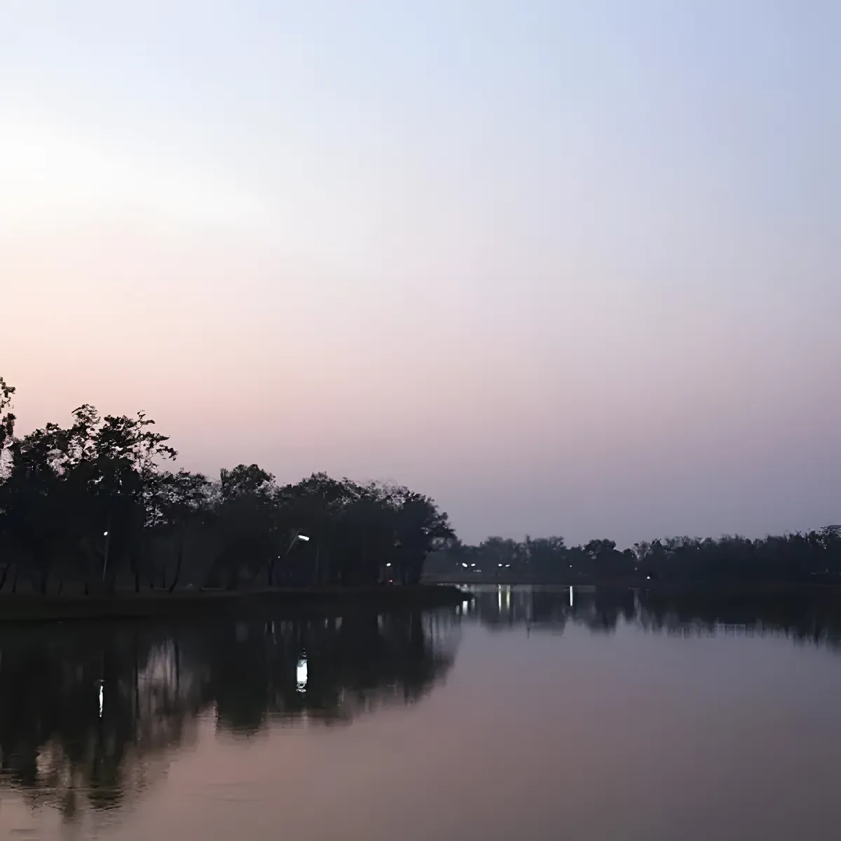
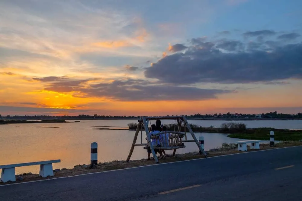
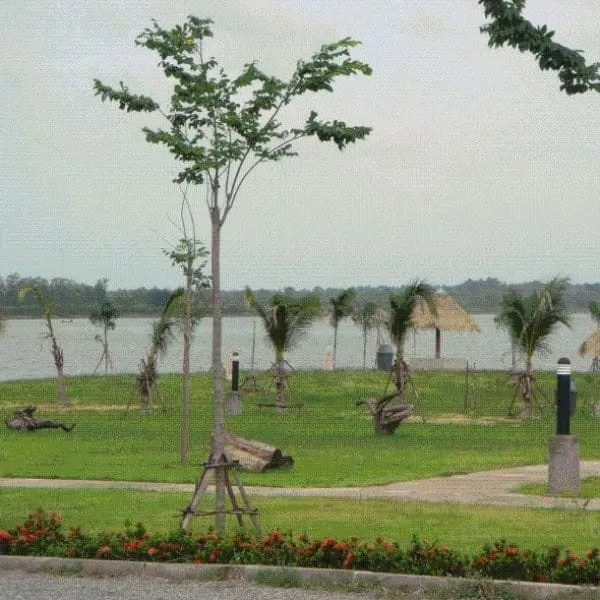
The centre-point itself is marked with a simple monument where visitors stop for photos, a common local claim to have “reached the middle of Isan.” Beyond the marker, the appeal is the setting: landscaped park grounds shaded by trees, with open views across Bueng Kui’s water. Locals from Kosum Phisai use the park for a walk or a quiet sit by the pond as much as tourists use it for the landmark photo, so don’t expect crowds or a built-out visitor centre.
There’s no formal programming here: no weaving demonstrations, no cooking classes, no craft stalls. It’s a geography curiosity and a pleasant patch of shaded parkland, and treating it as anything more elaborate sets the wrong expectations. If you want to see mudmee silk weaving or khene music up close, that’s a different kind of stop elsewhere in Maha Sarakham province, not this site.
Watch out: Some older write-ups describe Sadue Isan as a “living cultural centre” with craft demonstrations. That’s not accurate. It’s a marker and a park. Go for the photo and the pond, not expecting workshops.
- Entry fee: Free
- Hours: Daylight hours, no gate or fixed closing time
- What it is: Marker for the geographic centre-point of Northeast Thailand, beside Bueng Kui pond
- Location: Kosum Phisai district, about 30 km from Maha Sarakham city
- Getting there: Car or motorbike; limited public transport into the district
Bring a bottle of water and sun protection for the walk around the pond; there’s shade near the marker but the open ground near the water gets hot by midday. Pair it with the Phra Buddha Ming Mueang (Suwan Mali Buddha Image) or Nong Khuean Chang Handicraft Village elsewhere in the province if you want the crafts and temple stops the marker itself doesn’t provide.
Location & Directions
Kosum Phisai, Maha Sarakham
Maha Sarakham, Thailand
Show your taxi or Grab driver
สะดืออีสาน
Frequently Asked Questions
What does Sadue Isan actually mark?
Is there an entry fee?
What's actually there to see and do?
How far is it from Maha Sarakham city?
Is it worth a special trip?
Spotted something out of date or incorrect? Let us know
Stay Near Sadue Isan
Live prices for places closest to Sadue Isan: tap a pin to compare.