




Khlong Wang Chao National Park
อุทยานแห่งชาติคลองวังเจ้า
Khlong Wang Chao National Park protects roughly 747 sq km of headwater forest for the Ping River, spanning Wang Chao and Mueang Tak districts in Tak province and Khlong Lan, Kosamphi Nakhon, and Mueang Kamphaeng Phet districts on the Kamphaeng Phet side. The name is easy to misread: “Wang Chao” refers to the Tak district the park reaches into, not a separate river, and the watershed itself feeds the Ping rather than a “Wang River” as some older listings claim. Foreign adults pay 200 THB, children 100 THB; Thai nationals pay 40 THB and 20 THB.
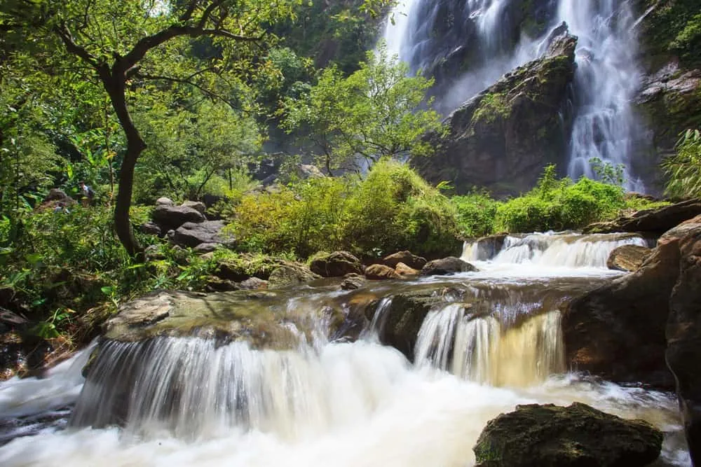
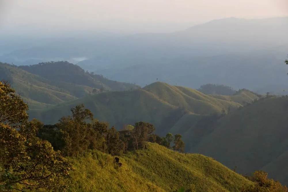
The terrain climbs from around 300 metres to Khao Yen at 1,898 metres, part of the Thanon Thong Chai range that runs the length of the Tak–Kamphaeng Phet border. Wang Chao Waterfall is the main draw near the visitor centre, reached by a short forest trail through mixed deciduous woodland where hornbills and gibbons are regular sightings, particularly at dawn. Several smaller cascades and pools sit further into the park, generally best visited with a ranger or local guide since the trail network isn’t consistently signed once you’re past the main waterfall loop. Limestone outcrops and small caves dot the lower hills, and the park’s visitor centre runs a modest interpretive display on the watershed’s role in the region’s water supply.
- Entry fee: 200 THB (foreign adult), 100 THB (foreign child); 40/20 THB for Thai nationals
- Hours: Daily 08:00–16:30
- Watershed: Headwaters of the Ping River, not the Wang River
- Coverage: ~747 sq km across Tak and Kamphaeng Phet provinces
- Highest point: Khao Yen, 1,898m
Watch out: trails beyond the main waterfall loop aren’t well marked, and mobile coverage is patchy through the deeper forest sections. Stick to the visitor centre’s recommended routes unless you’re with a guide who knows the park.
Insider Tip: Early morning (before 10am) gives the best odds of spotting gibbons and hornbills along the main trail. Activity drops off sharply once the day’s heat sets in and other visitors start arriving from Kamphaeng Phet town.
The park operates daily from 08:00 to 16:30, with basic camping available near the visitor centre if you book ahead. There’s no lodge accommodation inside. Bring insect repellent, water, and sturdy footwear; the trail surface alternates between packed dirt and loose rock. It pairs naturally with Khlong Lan National Park, about an hour south, for visitors wanting two stretches of Kamphaeng Phet forest without a long detour, or with Mae Wong National Park if you’re covering the province’s protected areas over a couple of days.
Location & Directions
Kosamphi Nakhon, Kamphaeng Phet
Kamphaeng Phet, Thailand
Show your taxi or Grab driver
อุทยานแห่งชาติคลองวังเจ้า
Frequently Asked Questions
What river does Khlong Wang Chao National Park protect?
Is Khlong Wang Chao National Park free to enter?
Does the park really span two provinces?
What's the main waterfall in the park?
What's the highest point in the park?
Spotted something out of date or incorrect? Let us know
Stay Near Khlong Wang Chao National Park
Live prices for places closest to Khlong Wang Chao National Park: tap a pin to compare.