Kong Ping Ngu
โค้งปิ้งงู
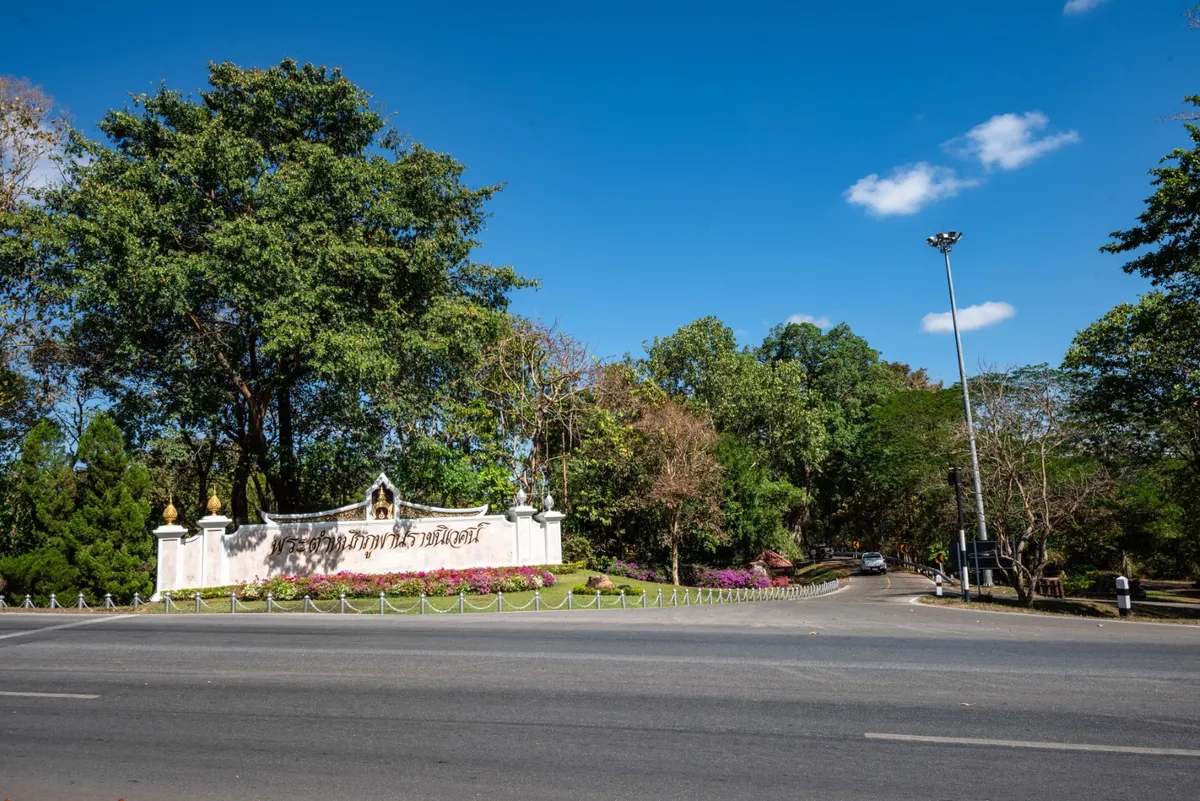
Kong Ping Ngu is a viewpoint over a winding stretch of Highway 213, not a rock or cave formation — the road switchbacks so sharply through the Phu Phan foothills that it earned the name “grilled snake bend,” after the way a snake curls when skewered over a fire. It sits at kilometre marker 155+600 in Huai Yang sub-district, about 13km from Sakon Nakhon town on the road toward Kalasin, and a few hundred metres from Phu Phan Ratchaniwet Palace.
The Department of Highways runs a rest stop here called Ping Ngu Ping Rak, with a 30-vehicle car park, free public restrooms and a flower-bed median that photographs well against the curling road behind it. Seeing the bend properly means walking up to the elevated viewing area rather than looking at it from the road itself — from ground level, it’s just another turn. The rest stop stays open for overnight stays too: free tent pitches let visitors camp and catch sunrise over the switchbacks, with the highway department offering complimentary coffee to early risers.
It’s a short stop rather than a destination in its own right — most visitors spend 15-30 minutes here, enough for photos and a coffee, before continuing on to the palace grounds or further into Phu Phan National Park. Local reports put weekend and New Year traffic at 100-200 visitors a day; outside the cool season (November-February) it’s markedly quieter, and the flower beds and photo backdrop look best when they’ve had recent watering rather than during the hottest, driest stretches of the year.
A private vehicle is the only realistic way to reach it — there’s no public transport running this stretch of Highway 213, and the point of the stop is pulling over safely to view the road rather than arriving on foot. Bring a torch and a warm layer if you’re staying for sunrise, since the Phu Phan hills get noticeably cooler overnight than the town below.
Insider Tip: The photo everyone’s after needs the elevated viewpoint above the rest stop, not the roadside pull-in — walk up rather than shooting from the car park.
Watch out: This is a working highway curve, not a closed-off scenic area. Stay behind the barriers when photographing and don’t stop on the road itself to get a better angle.
- Entry: Free
- Location: Km 155+600, Highway 213, Huai Yang, Mueang Sakon Nakhon
- Facilities: Car park, free restrooms, free overnight tent pitches, morning coffee
- Distance: ~13km from Sakon Nakhon town
- Time needed: 15-30 minutes (longer if camping for sunrise)
It sits right beside Phu Phan Ratchaniwet Palace and within a short drive of Phu Phan National Park, so most visitors combine it with one or both rather than making the trip out just for the road bend. Both fall under Sakon Nakhon.
Location & Directions
Huai Yang, Mueang Sakon Nakhon, Sakon Nakhon
Sakon Nakhon, Thailand
Show your taxi or Grab driver
โค้งปิ้งงู
Within Walking Distance

Frequently Asked Questions
Is Kong Ping Ngu a rock formation or cave?
What does the name Kong Ping Ngu mean?
Is there an entrance fee?
Can you camp overnight there?
How far is it from Sakon Nakhon town?
Spotted something out of date or incorrect? Let us know
Stay Near Kong Ping Ngu
Compare places to stay in Sakon Nakhon, or open the map for options closest to the attraction.