Pha Nam Yoi (Isan Buddhist Park)
ผาน้ำย้อย (พุทธอุทยานอีสาน)
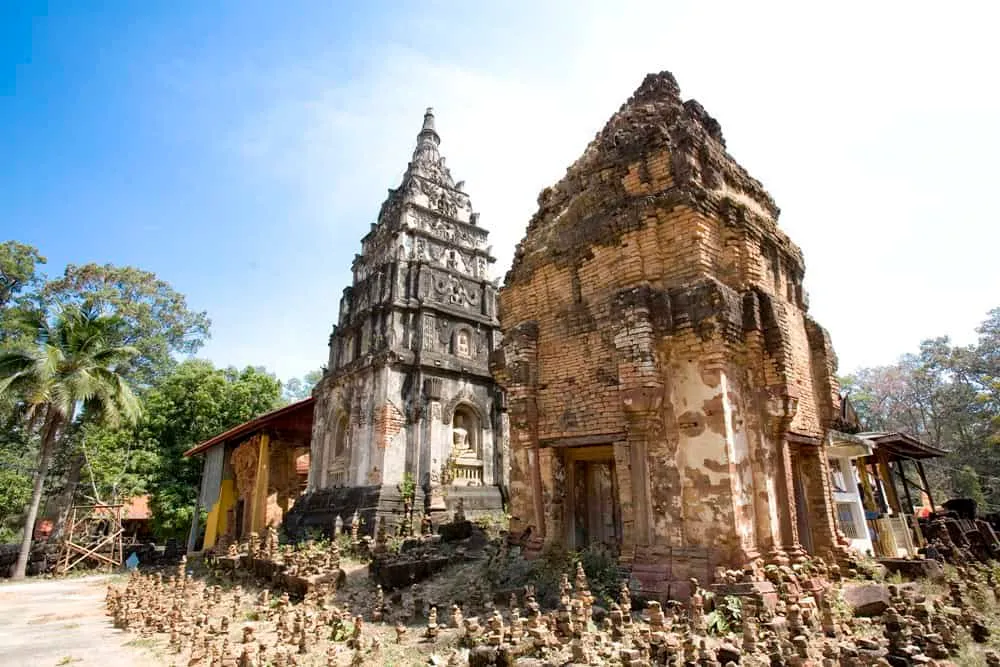
A sandstone ridge rises about 200 metres out of the Roi Et plain at Pha Nam Yoi, reaching 380–500 metres above sea level, genuinely unusual terrain for a province that’s mostly flat rice country. The park covers roughly 20,000 rai of forested mountain in Nong Phok district, about 62 km from Roi Et town via Highway 2044 and 2136. Its centrepiece is Wat Pha Nam Thip Thep Prasit Wanaram and, within the temple grounds, Phra Maha Chedi Chai Mongkhon, a gold-spired chedi that’s become the area’s defining landmark and is covered in detail on its own page, along with the temple itself.
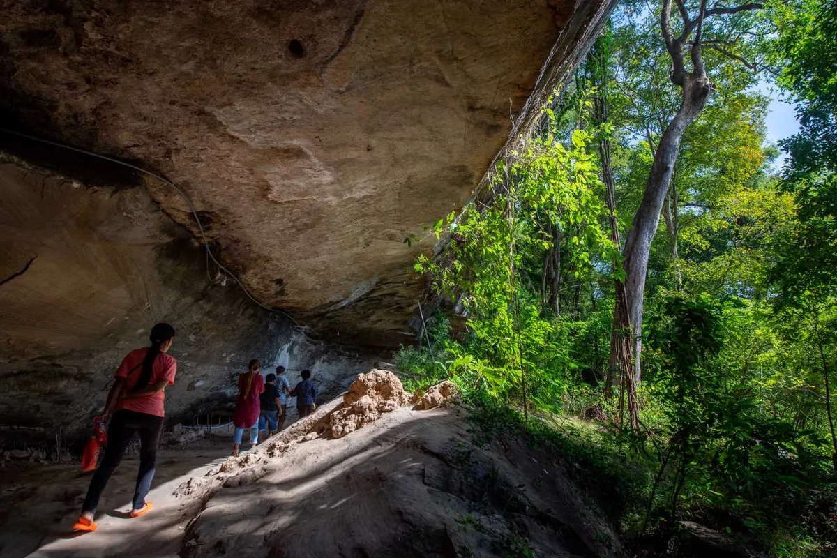
Beyond the chedi, the wider park is really about the mountain setting: walking trails wind through mixed forest between smaller shrines and viewpoints, with rice paddies, scattered villages, and the flat Isan horizon visible from several points along the ridge. Temple bells and birdsong carry through the trees, and incense drifts from the active worship areas around the main temple complex. The site takes its name (“Pha Nam Yoi,” roughly “the cliff where water drips”) from springs that seep from the sandstone year-round, feeding the forest below.
Because the temple itself gets the lion’s share of visitor attention, the surrounding park trails are often quiet even when the chedi grounds have a steady trickle of pilgrims and day-trippers. It’s worth budgeting time for both: the chedi for its scale and craftsmanship, the wider ridge for the views and the walk. Dress modestly near any of the shrine areas: covered shoulders and long trousers, with sarongs sometimes available to borrow near the main temple entrance.
Insider Tip: Visit the ridge viewpoints before mid-morning: haze builds up over the plain by midday most of the year, and the views are sharpest in the first couple of hours after the park opens at 6:00 AM.
- Entry fee: Free, daily 06:00–18:00
- Distance: ~62 km from Roi Et town via Highway 2044/2136
- Elevation: ~200 m above the surrounding plain (380–500 m above sea level)
- Main landmark: Phra Maha Chedi Chai Mongkhon at Wat Pha Nam Thip Thep Prasit Wanaram
- Dress code: Covered shoulders, long trousers near shrine areas
Early morning is best for both temperature and light, and gives the clearest views before haze sets in over the plain. Bring water and comfortable walking shoes: trail surfaces are uneven in places. The Pha Nam Thip Non-Hunting Area wildlife reserve and Tham Soda Waterfall are both close by in the same district, so a full day here can cover a mountain temple, a waterfall, and a nature trail without much extra travel.
Location & Directions
Nong Phok, Roi Et
Roi Et, Thailand
Show your taxi or Grab driver
ผาน้ำย้อย (พุทธอุทยานอีสาน)
Frequently Asked Questions
How far is Pha Nam Yoi from Roi Et town?
What's the main landmark at Pha Nam Yoi?
Is entry free?
How high up does the park sit?
What else is nearby?
Spotted something out of date or incorrect? Let us know
Stay Near Pha Nam Yoi (Isan Buddhist Park)
Live prices for places closest to Pha Nam Yoi (Isan Buddhist Park): tap a pin to compare.