


Kew Mae Pan Nature Trail
กิ่วแม่ปาน
The Kew Mae Pan Nature Trail runs as a 2.8-kilometre loop along a high ridge on Doi Inthanon, Thailand’s tallest peak, at roughly 2,200 metres above sea level. The trail is closed every year from June through October while park staff repair the wooden boardwalks and stairways damaged by monsoon rains — plan your visit between 1 November and 31 May. A mandatory local guide meets you at the trailhead; the guides are Hmong farmers from the Ban Khun Klang community who supplement their income this way, and most speak limited English. The fee is 200 THB per group of up to ten people, on top of the standard Doi Inthanon park entry (300 THB for foreign adults).
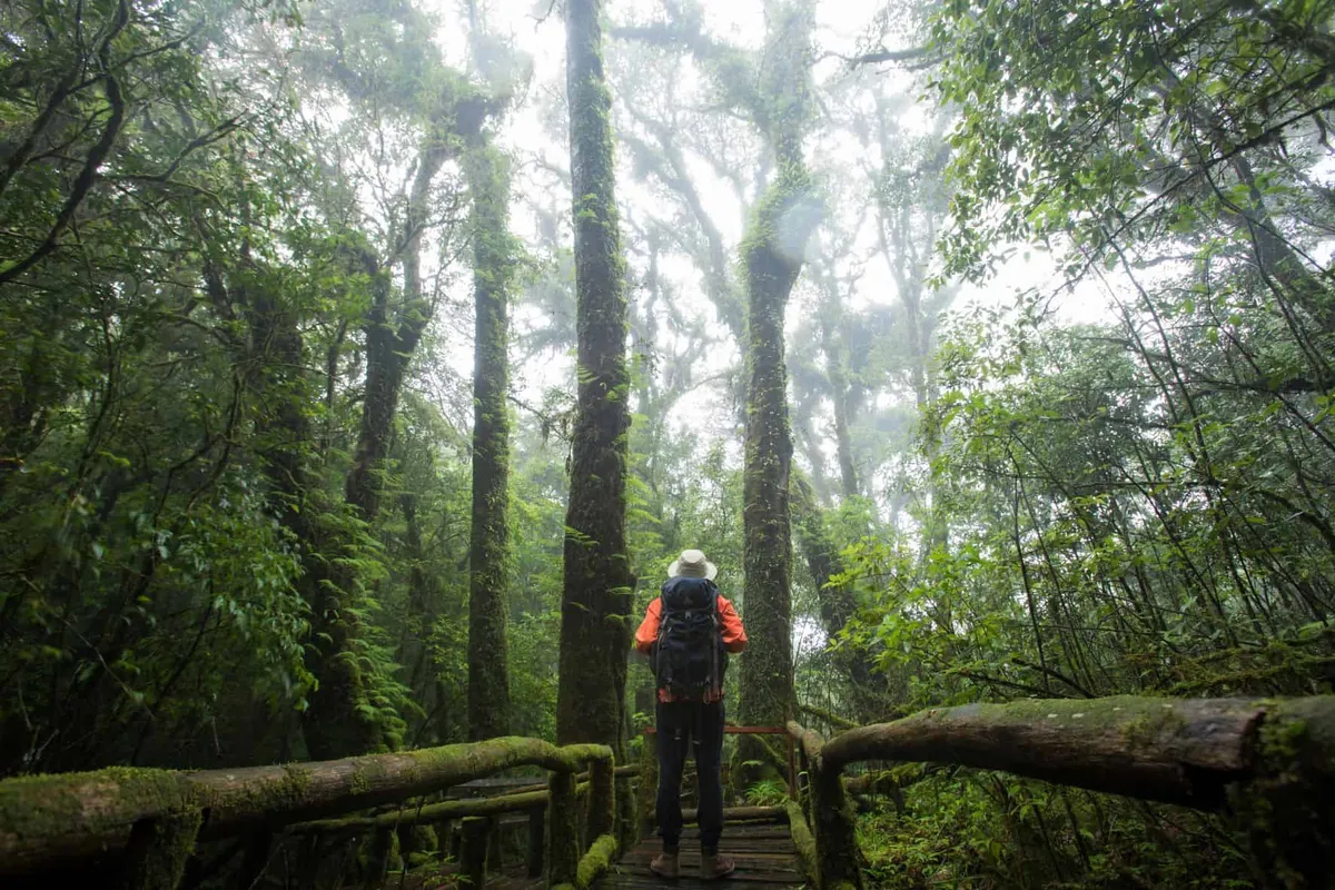
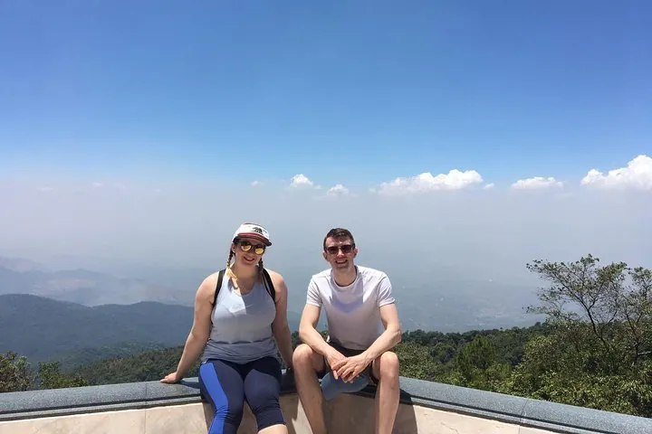
The loop is divided into roughly three stages across 21 numbered interpretive stations. The first section passes through dense cloud forest — moss-draped oaks, rhododendrons, and ferns that filter very little light — before arriving at a small waterfall called Mae Pan. The trail then opens onto exposed grassland where the ridge narrows and winds can be sharp; this is the main viewpoint, where on clear cool-season mornings the valley below fills with a flat white layer of cloud, with the twin white Royal Chedis — built in honour of King Bhumibol and Queen Sirikit — visible on the hillside to the south. The final section drops back into forest via steep wooden stairs. Allow two to three hours for a comfortable pace; the early December to early February window gives the best chance of cloud inversions and temperatures that can fall below 10°C by dawn.
- Distance: approx. 2.8 km loop
- Elevation: 2,200 m above sea level
- Open: 1 November – 31 May, 06:00–16:00 daily
- Guide fee: 200 THB per group (mandatory; Hmong local guides)
- Park entry: 300 THB foreigners, 60 THB Thais
Insider Tip: Arrive at the park gate by 06:30. Guides fill up quickly on weekends in December and January, and the sea-of-cloud effect dissipates once the sun climbs — typically by 09:00.
Watch out: The wooden boardwalks are genuinely slippery on cool mornings when dew settles on the timber. Decent grip on your shoes matters more than the difficulty rating suggests. Sandals and flip-flops are a poor choice.
Kew Mae Pan sits inside Doi Inthanon National Park, and most visitors combine the trail with the summit boardwalk and the twin Royal Chedis on the same day out from Chiang Mai.
How to Get There
Follow Route 1009 (the main Doi Inthanon road) approximately 31 km from the park entrance gate. The Kew Mae Pan trailhead is signed on the left, between the twin Royal Chedis and the summit car park. Most visitors drive or take a day-tour minivan from Chiang Mai city (roughly 2 hours). No public bus reaches the trailhead directly.
Location & Directions
Chiang Mai, Thailand
Show your taxi or Grab driver
กิ่วแม่ปาน
Within Walking Distance


Frequently Asked Questions
Can I walk Kew Mae Pan without a guide?
Is Kew Mae Pan open all year?
How much does it cost to visit Kew Mae Pan?
When is the best time to see the sea of clouds at Kew Mae Pan?
How difficult is the Kew Mae Pan trail?
Spotted something out of date or incorrect? Let us know
Popular tours in Chiang Mai


Stay Near Kew Mae Pan Nature Trail
Compare places to stay in Chiang Mai, or open the map for options closest to the attraction.